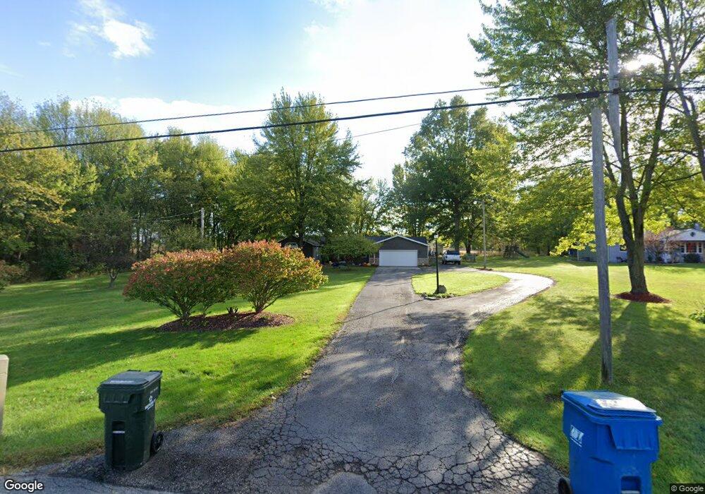
18337 State Route 301 Lagrange, OH 44050
Estimated Value: $299,305 - $479,000
4
Beds
2
Baths
1,700
Sq Ft
$216/Sq Ft
Est. Value
About This Home
This home is located at 18337 State Route 301, Lagrange, OH 44050 and is currently estimated at $366,576, approximately $215 per square foot. 18337 State Route 301 is a home located in Lorain County with nearby schools including Keystone Elementary School, Keystone Middle School, and Keystone High School.
Ownership History
Date
Name
Owned For
Owner Type
Purchase Details
Closed on
Aug 5, 1998
Sold by
Botamer Timothy P
Bought by
Byers Brian K and Deiderick Dawn L
Current Estimated Value
Home Financials for this Owner
Home Financials are based on the most recent Mortgage that was taken out on this home.
Original Mortgage
$102,300
Interest Rate
7.05%
Create a Home Valuation Report for This Property
The Home Valuation Report is an in-depth analysis detailing your home's value as well as a comparison with similar homes in the area
Home Values in the Area
Average Home Value in this Area
Purchase History
| Date | Buyer | Sale Price | Title Company |
|---|---|---|---|
| Byers Brian K | $105,000 | Guardian Title |
Source: Public Records
Mortgage History
| Date | Status | Borrower | Loan Amount |
|---|---|---|---|
| Closed | Byers Brian K | $102,300 |
Source: Public Records
Tax History
| Year | Tax Paid | Tax Assessment Tax Assessment Total Assessment is a certain percentage of the fair market value that is determined by local assessors to be the total taxable value of land and additions on the property. | Land | Improvement |
|---|---|---|---|---|
| 2024 | $3,845 | $93,811 | $17,763 | $76,048 |
| 2023 | $3,352 | $68,366 | $17,203 | $51,163 |
| 2022 | $3,327 | $68,366 | $17,203 | $51,163 |
| 2021 | $3,328 | $68,366 | $17,203 | $51,163 |
| 2020 | $3,056 | $55,950 | $14,080 | $41,870 |
| 2019 | $3,036 | $55,950 | $14,080 | $41,870 |
| 2018 | $2,962 | $55,950 | $14,080 | $41,870 |
| 2017 | $3,019 | $53,470 | $16,050 | $37,420 |
| 2016 | $2,997 | $53,470 | $16,050 | $37,420 |
| 2015 | $2,992 | $53,470 | $16,050 | $37,420 |
| 2014 | $2,608 | $53,470 | $16,050 | $37,420 |
| 2013 | $2,527 | $53,470 | $16,050 | $37,420 |
Source: Public Records
Map
Nearby Homes
- 40260 Whitney Rd
- 110 Railroad St
- 42113 Meadow Ln
- 305 W Main St
- 0 Whitehead Rd
- 0 Dill Ct Unit 5072837
- 510 Arabian Ct
- 317 Church St
- 479 Stallion Ct
- 476 Stallion Ct
- 468 Stallion Ct
- 704 Black Bear Run
- 516 Appomattox Ct
- 548 William St
- 500 Bailey Ct
- 20630 State Route 301
- 340 Granger Dr
- 808 Buckingham Dr
- 800 Buckingham Dr
- 801 Willich Ct
- 18365 State Route 301
- 18289 State Route 301
- 18318 State Route 301
- 18257 State Route 301
- 18270 Ohio 301
- 18161 State Route 301
- 18270 State Route 301
- 18513 State Route 301
- 18158 State Route 301
- 18244 State Route 301
- 18123 State Route 301
- 18565 State Route 301
- 18021 State Route 301
- 41103 Whitney Rd
- 41145 Whitney Rd
- 18022 State Route 301
- 41183 Whitney Rd
- 41219 Whitney Rd
- 17975 State Route 301
- 41259 Whitney Rd
Your Personal Tour Guide
Ask me questions while you tour the home.