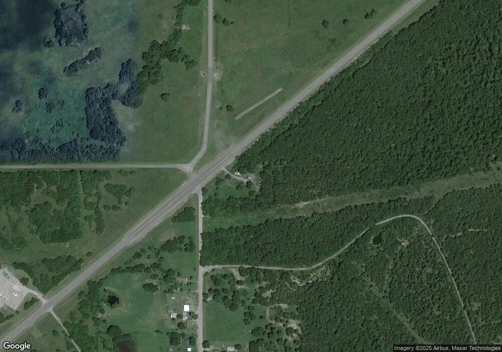
18338 E Us Highway 270 Hartshorne, OK 74547
Estimated Value: $81,000 - $115,000
3
Beds
1
Bath
1,536
Sq Ft
$64/Sq Ft
Est. Value
About This Home
This home is located at 18338 E Us Highway 270, Hartshorne, OK 74547 and is currently estimated at $98,776, approximately $64 per square foot. 18338 E Us Highway 270 is a home with nearby schools including Hartshorne Elementary School, Hartshorne Middle School, and Hartshorne High School.
Ownership History
Date
Name
Owned For
Owner Type
Purchase Details
Closed on
Dec 4, 2019
Sold by
Tiner Joe Cecil and Tiner Louise
Bought by
Tiner Joe Cecil and Tiner Kellie
Current Estimated Value
Purchase Details
Closed on
Aug 20, 2012
Sold by
Tiner Louise
Bought by
Tiner Joe Cecil and Tiner Louise
Purchase Details
Closed on
Jul 27, 2012
Sold by
Federal National Mortgage Association
Bought by
Tiner Louise
Purchase Details
Closed on
Feb 29, 2012
Sold by
Vinson James
Bought by
Bank Of America Na and Countrywide Home Loans Servicing Lp
Create a Home Valuation Report for This Property
The Home Valuation Report is an in-depth analysis detailing your home's value as well as a comparison with similar homes in the area
Home Values in the Area
Average Home Value in this Area
Purchase History
| Date | Buyer | Sale Price | Title Company |
|---|---|---|---|
| Tiner Joe Cecil | -- | None Available | |
| Tiner Joe Cecil | -- | None Available | |
| Tiner Louise | $45,000 | None Available | |
| Bank Of America Na | -- | None Available |
Source: Public Records
Tax History Compared to Growth
Tax History
| Year | Tax Paid | Tax Assessment Tax Assessment Total Assessment is a certain percentage of the fair market value that is determined by local assessors to be the total taxable value of land and additions on the property. | Land | Improvement |
|---|---|---|---|---|
| 2024 | $411 | $5,274 | $181 | $5,093 |
| 2023 | $411 | $5,121 | $181 | $4,940 |
| 2022 | $369 | $4,972 | $181 | $4,791 |
| 2021 | $547 | $6,961 | $181 | $6,780 |
| 2020 | $522 | $6,561 | $181 | $6,380 |
| 2019 | $502 | $6,370 | $181 | $6,189 |
| 2018 | $495 | $6,238 | $181 | $6,057 |
| 2017 | $391 | $5,128 | $181 | $4,947 |
| 2016 | $378 | $4,979 | $181 | $4,798 |
| 2015 | $297 | $4,979 | $181 | $4,798 |
| 2014 | $297 | $4,979 | $181 | $4,798 |
Source: Public Records
Map
Nearby Homes
- 359 Burger Rd
- 0 SE 102nd Rd Unit 2537808
- 00 Hwy 270
- 2095 Hartshorne Adamson Rd
- 43 Woodlawn Dr
- 0 Sunny Slope Dr
- 560 E Old Hwy 270
- 0 Old U S Highway 270
- 0 N 4190 Rd Unit 2526131
- 0 Phillips Rd
- 0 Emberton St
- 1509 Pawnee Ave
- 508 N 11th St
- 1412 Pennsylvania Ave
- TBD SW 1090th Ave
- 19 SW 124th Rd
- 18 SW 124th Rd
- 15 SW 124th Rd
- 14 SW 124th Rd
- 11 SW 124th Rd
- 0 Old Highway 270 Hwy Unit 1071161
- 0 Old Highway 270 Hwy Unit 1047223
- 186 Wade Rd
- 2169 Highway 270
- 2117 Highway 270
- 1910 Highway 270
- 866 Lone Oak Rd E
- 471 Price Rd
- 19120 E Us Highway 270
- 17452 E Us Highway 270
- 17452 E Us Highway 270
- 17452 E Us Highway 270
- 0 Lone Oak Rd Unit 1813486
- 10868 SW Gowen Rd
- 10800 SW Gowen Rd
- 1441 Highway 270
- 10758 SW Gowen Rd
- 821 SW 120th Rd
- 10809 SW Gowen Rd
