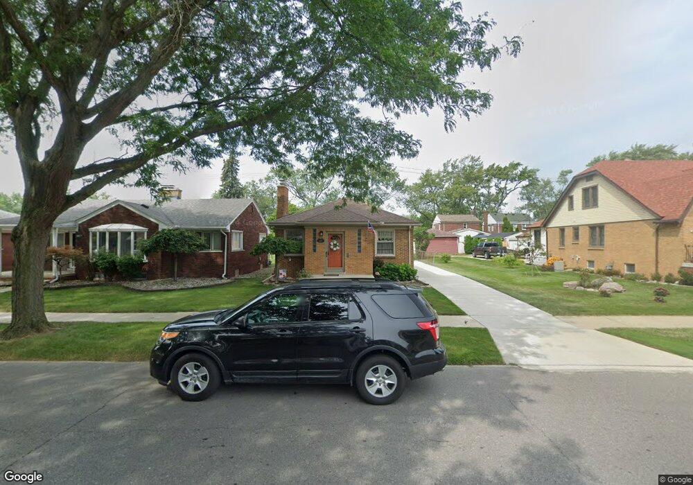
1834 13th St Wyandotte, MI 48192
Estimated Value: $179,422 - $212,000
--
Bed
1
Bath
921
Sq Ft
$211/Sq Ft
Est. Value
About This Home
This home is located at 1834 13th St, Wyandotte, MI 48192 and is currently estimated at $194,356, approximately $211 per square foot. 1834 13th St is a home located in Wayne County with nearby schools including Jefferson Elementary School, Woodrow Wilson School, and Roosevelt High School.
Ownership History
Date
Name
Owned For
Owner Type
Purchase Details
Closed on
Mar 12, 2020
Sold by
Donahue Jeannete F
Bought by
Donahue Jeannette F and Lockie Maureen C
Current Estimated Value
Purchase Details
Closed on
Mar 11, 2020
Sold by
Donahue Jeannette F and Donahue James W
Bought by
Donahue Jeannette F
Purchase Details
Closed on
Aug 18, 2005
Sold by
Donahue James W and Donahue Jeannette F
Bought by
Donahue James W
Purchase Details
Closed on
May 7, 2001
Sold by
King Rebecc L
Bought by
Donahue James W
Create a Home Valuation Report for This Property
The Home Valuation Report is an in-depth analysis detailing your home's value as well as a comparison with similar homes in the area
Home Values in the Area
Average Home Value in this Area
Purchase History
| Date | Buyer | Sale Price | Title Company |
|---|---|---|---|
| Donahue Jeannette F | -- | None Available | |
| Donahue Jeannette F | -- | None Available | |
| Donahue James W | -- | None Available | |
| Donahue James W | $132,000 | -- |
Source: Public Records
Tax History Compared to Growth
Tax History
| Year | Tax Paid | Tax Assessment Tax Assessment Total Assessment is a certain percentage of the fair market value that is determined by local assessors to be the total taxable value of land and additions on the property. | Land | Improvement |
|---|---|---|---|---|
| 2025 | -- | $88,500 | $0 | $0 |
| 2024 | -- | $81,200 | $0 | $0 |
| 2023 | $1,881 | $74,100 | $0 | $0 |
| 2022 | $1,881 | $66,000 | $0 | $0 |
| 2021 | $3,763 | $59,000 | $0 | $0 |
| 2020 | $0 | $52,900 | $0 | $0 |
| 2019 | $0 | $48,900 | $0 | $0 |
| 2018 | $0 | $43,200 | $0 | $0 |
| 2017 | $1,705 | $44,200 | $0 | $0 |
| 2016 | $2,106 | $39,800 | $0 | $0 |
| 2015 | $3,757 | $39,800 | $0 | $0 |
| 2013 | $3,640 | $36,400 | $0 | $0 |
| 2012 | $1,720 | $38,100 | $6,700 | $31,400 |
Source: Public Records
Map
Nearby Homes