1834 Moses Rd Rabun Gap, GA 30568
Estimated Value: $411,000 - $558,000
3
Beds
3
Baths
2,400
Sq Ft
$203/Sq Ft
Est. Value
About This Home
This home is located at 1834 Moses Rd, Rabun Gap, GA 30568 and is currently estimated at $486,251, approximately $202 per square foot. 1834 Moses Rd is a home located in Rabun County with nearby schools including Rabun County Primary School and Rabun County High School.
Ownership History
Date
Name
Owned For
Owner Type
Purchase Details
Closed on
Feb 24, 2017
Sold by
Jarvis John J
Bought by
Signorelli Ross Michael
Current Estimated Value
Purchase Details
Closed on
Apr 1, 2006
Sold by
Not Provided
Bought by
Jarvis John J and Jarvis Alice F
Purchase Details
Closed on
Nov 15, 2005
Sold by
Fazzary Sue A
Bought by
Oglesby Gwen D
Purchase Details
Closed on
Aug 16, 2005
Sold by
Hoenstine James M
Bought by
Fazzary Sue A
Purchase Details
Closed on
Nov 1, 2003
Create a Home Valuation Report for This Property
The Home Valuation Report is an in-depth analysis detailing your home's value as well as a comparison with similar homes in the area
Home Values in the Area
Average Home Value in this Area
Purchase History
| Date | Buyer | Sale Price | Title Company |
|---|---|---|---|
| Signorelli Ross Michael | $253,500 | -- | |
| Signorelli Ross Michael | $253,500 | -- | |
| Jarvis John J | $284,500 | -- | |
| Jarvis John J | $284,500 | -- | |
| Oglesby Gwen D | $32,000 | -- | |
| Oglesby Gwen D | $32,000 | -- | |
| Fazzary Sue A | $22,000 | -- | |
| Fazzary Sue A | $22,000 | -- | |
| -- | -- | -- | |
| -- | -- | -- |
Source: Public Records
Tax History
| Year | Tax Paid | Tax Assessment Tax Assessment Total Assessment is a certain percentage of the fair market value that is determined by local assessors to be the total taxable value of land and additions on the property. | Land | Improvement |
|---|---|---|---|---|
| 2025 | $2,197 | $142,890 | $15,600 | $127,290 |
| 2024 | $2,143 | $135,537 | $15,600 | $119,937 |
| 2023 | $2,115 | $117,534 | $15,600 | $101,934 |
| 2022 | $2,004 | $111,481 | $13,000 | $98,481 |
| 2021 | $1,898 | $101,227 | $13,000 | $88,227 |
| 2020 | $1,880 | $96,908 | $13,000 | $83,908 |
| 2019 | $1,893 | $96,908 | $13,000 | $83,908 |
| 2018 | $1,900 | $96,908 | $13,000 | $83,908 |
| 2017 | $1,822 | $96,908 | $13,000 | $83,908 |
| 2016 | $2,253 | $119,506 | $13,000 | $106,506 |
| 2015 | $2,225 | $115,552 | $13,000 | $102,552 |
| 2014 | $1,866 | $96,397 | $13,000 | $83,397 |
Source: Public Records
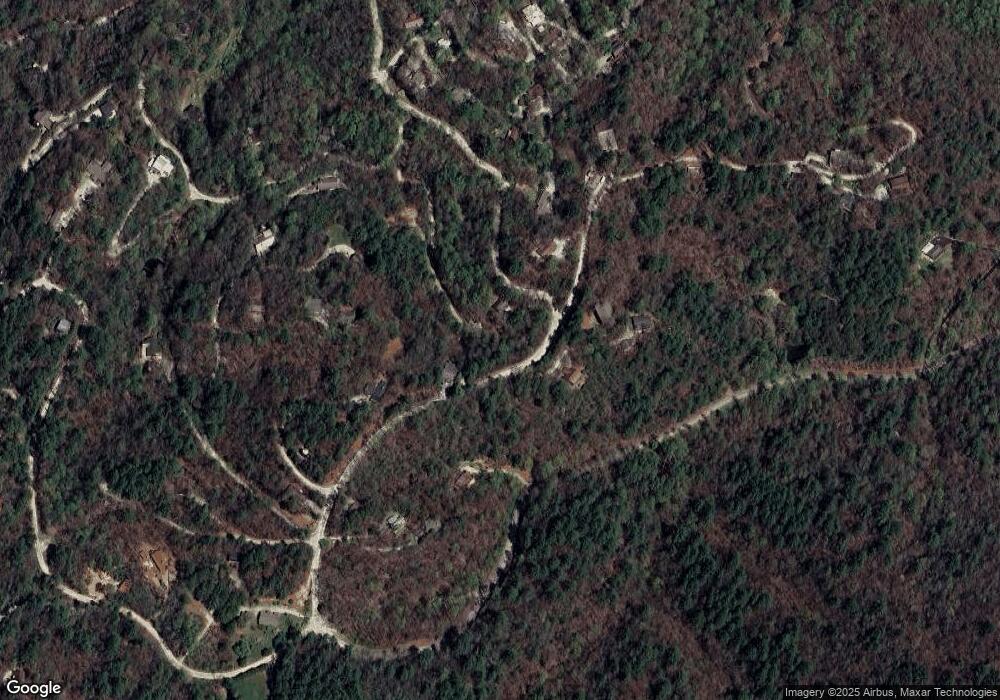
Map
Nearby Homes
- 0 Alto Ln Unit 10669756
- 130 Ivy Trail
- 44 Cessna Ln
- 0 Pitts Way Unit 10592369
- 0 Crest Ln Unit LOT 5
- 373 Western Way
- 375 Western Way
- 0 Sylvan Lake Dr Unit 47,48 10485897
- 133 Simms Way
- 0 Black Rock Estates Unit 25 10374676
- 0 Forest Canopy Way Unit 11
- 0 Forest Canopy Way Unit LOT 2
- 513 Coleman Heights Ln
- 36 Maple Springs Ln
- 28 Maple Springs Ln
- 0 Winding View Trail Unit 17A
- 0 Winding View Trail Unit 7719988
- 657 Winding View Trail
- 1422 Wolffork Rd
- 52 Lucky Ln
- 0 Alto Ln Unit 10533235
- 0 Alto Ln Unit 10021840
- 0 Alto Ln Unit 6 8373065
- 0 Alto Ln Unit 8827071
- 48 Ivy Trail
- 48 Ivy Trail Unit 1,1,17
- 22 Decoy Ln
- 12 Piper Ln
- 19 Cessna Ln
- 51 Alto Ln
- 60 Piper Ln
- 3473 N Germany Mountain Rd
- 130 Ivy Trail Unit 3&4
- 36 Piper Ln
- 97 Decoy Ln
- N N Germany Mountain Rd Unit 25 AND 26
- 46 Spartan Ln
- 186 Decoy Ln
- 71 Alto Ln
- 93 Ivy Trail
Your Personal Tour Guide
Ask me questions while you tour the home.