1834 N Monitor Rd Springdale, AR 72764
Estimated Value: $334,000 - $664,000
--
Bed
3
Baths
1,946
Sq Ft
$240/Sq Ft
Est. Value
About This Home
This home is located at 1834 N Monitor Rd, Springdale, AR 72764 and is currently estimated at $466,285, approximately $239 per square foot. 1834 N Monitor Rd is a home located in Washington County with nearby schools including Monitor Elementary School, Lakeside Junior High School, and Sonora Middle School.
Ownership History
Date
Name
Owned For
Owner Type
Purchase Details
Closed on
Jun 5, 2010
Bought by
Creek William B and Joint Revocable Trust
Current Estimated Value
Purchase Details
Closed on
Jun 1, 2009
Sold by
Creek William B
Bought by
Creek William B and Creek Shirley A
Home Financials for this Owner
Home Financials are based on the most recent Mortgage that was taken out on this home.
Original Mortgage
$89,600
Outstanding Balance
$56,458
Interest Rate
4.72%
Mortgage Type
New Conventional
Estimated Equity
$409,827
Purchase Details
Closed on
Sep 25, 1995
Bought by
Creek William B
Purchase Details
Closed on
Sep 17, 1990
Bought by
Thomas Dean and Po Box 973
Purchase Details
Closed on
Jan 1, 1989
Bought by
Pense Gladys M
Create a Home Valuation Report for This Property
The Home Valuation Report is an in-depth analysis detailing your home's value as well as a comparison with similar homes in the area
Home Values in the Area
Average Home Value in this Area
Purchase History
| Date | Buyer | Sale Price | Title Company |
|---|---|---|---|
| Creek William B | -- | -- | |
| Creek William B | -- | Rtc | |
| Creek William B | $155,000 | -- | |
| Thomas Dean | $45,000 | -- | |
| Pense Gladys M | -- | -- |
Source: Public Records
Mortgage History
| Date | Status | Borrower | Loan Amount |
|---|---|---|---|
| Open | Creek William B | $89,600 |
Source: Public Records
Tax History Compared to Growth
Tax History
| Year | Tax Paid | Tax Assessment Tax Assessment Total Assessment is a certain percentage of the fair market value that is determined by local assessors to be the total taxable value of land and additions on the property. | Land | Improvement |
|---|---|---|---|---|
| 2024 | $618 | $61,510 | $17,300 | $44,210 |
| 2023 | $707 | $61,510 | $17,300 | $44,210 |
| 2022 | $751 | $35,820 | $8,300 | $27,520 |
| 2021 | $746 | $35,820 | $8,300 | $27,520 |
| 2020 | $740 | $35,820 | $8,300 | $27,520 |
| 2019 | $735 | $22,750 | $5,300 | $17,450 |
| 2018 | $756 | $22,750 | $5,300 | $17,450 |
| 2017 | $741 | $22,750 | $5,300 | $17,450 |
| 2016 | $738 | $22,750 | $5,300 | $17,450 |
| 2015 | $735 | $22,750 | $5,300 | $17,450 |
| 2014 | $1,072 | $27,171 | $4,280 | $22,891 |
Source: Public Records
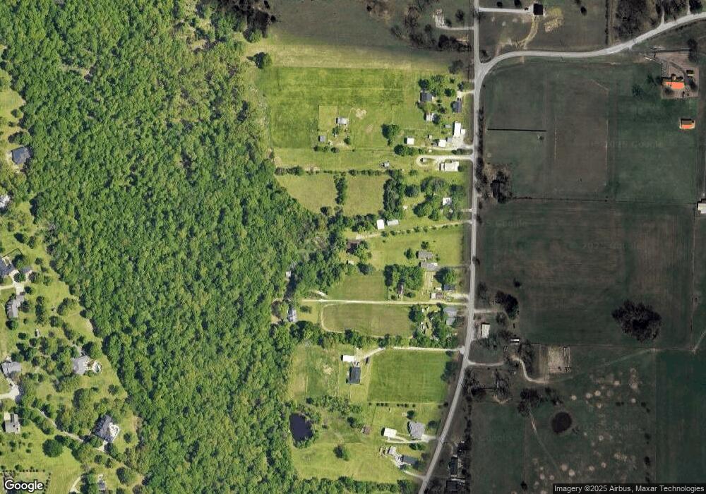
Map
Nearby Homes
- 3545 E Monitor Rd
- Tract 2 Mountain Rd
- 137 Woodcliff Rd
- 2497 Woodcliff Rd
- 843 Woodcliff Dr
- 1769 N Monitor Rd
- 109 Woodcliff Cir
- 2232 Presley Ln
- 2167 Sweetwater Ranch Ave
- 1278 Moody Ln
- 1950 Sweetwater Ranch Ave
- 1440 Tumbleweed Dr
- 2403 E Emma Ave
- 2377 E Emma Ave
- 2.57 Ac E Monitor Rd
- 5.06 AC Old Wire Rd
- 4908 Elnora Ln
- 4886-4856 Parsons Rd
- 1258 Apache Trail
- 3343 Grainger Cir
- 3200 Graves Ln
- 1830 N Monitor Rd
- 3055 Graves Ln
- 1778 N Monitor Rd
- 1890 N Monitor Rd
- 1732 N Monitor Rd
- 1950 N Monitor Rd
- 1652 N Monitor Rd
- 2014 N Monitor Rd
- 1717 N Monitor Rd
- 1687 N Monitor Rd
- 2044 N Monitor Rd
- 1580 N Monitor Rd
- 1536 N Monitor Rd
- 2154 N Mountain Rd
- 1541 N Monitor Rd
- 145 Woodcliff Ln
- 1410 N Monitor Rd
- 1410 N Monitor Rd
- 143 Woodcliff Ln