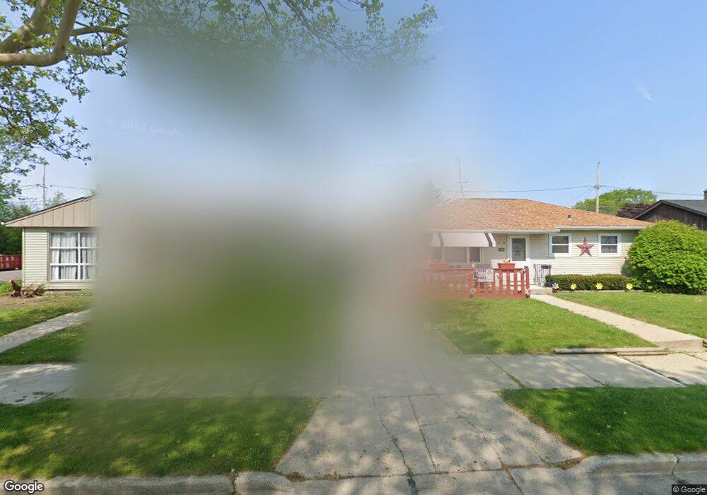
1834 Polaris Ave Racine, WI 53404
Wustum Park NeighborhoodEstimated Value: $181,000 - $228,000
3
Beds
1
Bath
894
Sq Ft
$220/Sq Ft
Est. Value
About This Home
This home is located at 1834 Polaris Ave, Racine, WI 53404 and is currently estimated at $197,063, approximately $220 per square foot. 1834 Polaris Ave is a home located in Racine County with nearby schools including Wadewitz Elementary School, Jerstad-Agerholm Middle School, and Horlick High School.
Ownership History
Date
Name
Owned For
Owner Type
Purchase Details
Closed on
Apr 14, 2007
Sold by
Larson Lloyd L
Bought by
Perez Peter
Current Estimated Value
Home Financials for this Owner
Home Financials are based on the most recent Mortgage that was taken out on this home.
Original Mortgage
$105,000
Outstanding Balance
$84,413
Interest Rate
6.18%
Mortgage Type
New Conventional
Estimated Equity
$112,650
Create a Home Valuation Report for This Property
The Home Valuation Report is an in-depth analysis detailing your home's value as well as a comparison with similar homes in the area
Home Values in the Area
Average Home Value in this Area
Purchase History
| Date | Buyer | Sale Price | Title Company |
|---|---|---|---|
| Perez Peter | $105,000 | -- |
Source: Public Records
Mortgage History
| Date | Status | Borrower | Loan Amount |
|---|---|---|---|
| Open | Perez Peter | $105,000 |
Source: Public Records
Tax History Compared to Growth
Tax History
| Year | Tax Paid | Tax Assessment Tax Assessment Total Assessment is a certain percentage of the fair market value that is determined by local assessors to be the total taxable value of land and additions on the property. | Land | Improvement |
|---|---|---|---|---|
| 2024 | $3,322 | $149,200 | $17,400 | $131,800 |
| 2023 | $3,047 | $133,000 | $17,400 | $115,600 |
| 2022 | $2,886 | $121,000 | $17,400 | $103,600 |
| 2021 | $2,930 | $110,000 | $17,400 | $92,600 |
| 2020 | $2,941 | $110,000 | $17,400 | $92,600 |
| 2019 | $2,702 | $103,000 | $17,400 | $85,600 |
| 2018 | $2,807 | $88,000 | $17,400 | $70,600 |
| 2017 | $2,614 | $88,000 | $17,400 | $70,600 |
| 2016 | $2,513 | $83,000 | $17,400 | $65,600 |
| 2015 | $2,449 | $79,000 | $17,400 | $61,600 |
| 2014 | $2,449 | $79,000 | $17,400 | $61,600 |
| 2013 | $2,449 | $85,000 | $21,500 | $63,500 |
Source: Public Records
Map
Nearby Homes
- 1708 Shoop St
- 2009 Rapids Dr
- 1818 Neptune Ave
- 2100 Carlisle Ave
- 2300 Rapids Dr
- 1626 Rapids Dr
- 2210 Rapids Dr
- 2123 Carlisle Ave
- 2701 Rapids Dr
- 1322 Summit Ave
- 2402 Eaton Ln
- 2400 Romayne Ave
- 1406 Blake Ave
- 2525 Donna Ave
- 2600 W High St
- 2525 Diane Ave
- 2915 Romayne Ave
- 1228 English St
- 1337 Kewaunee St
- 1616 Dr Martin Luther King Dr
- 1840 Polaris Ave
- 1830 Polaris Ave
- 1900 Polaris Ave
- 1835 Arcturus Ave
- 1839 Arcturus Ave
- 1829 Arcturus Ave
- 1901 Arcturus Ave
- 1904 Polaris Ave
- 1835 Polaris Ave
- 1820 Polaris Ave
- 1841 Polaris Ave
- 2116 English St
- 1905 Arcturus Ave
- 1821 Arcturus Ave
- 1910 Polaris Ave
- 1901 Polaris Ave
- 1816 Polaris Ave
- 1911 Arcturus Ave
- 1821 Polaris Ave
- 1817 Arcturus Ave