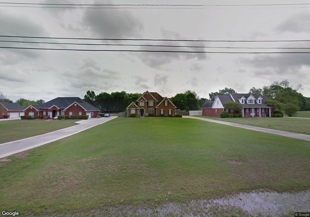
1834 Woodall Rd SW Decatur, AL 35603
Estimated Value: $448,606 - $532,000
--
Bed
--
Bath
3,243
Sq Ft
$147/Sq Ft
Est. Value
About This Home
This home is located at 1834 Woodall Rd SW, Decatur, AL 35603 and is currently estimated at $477,902, approximately $147 per square foot. 1834 Woodall Rd SW is a home located in Morgan County with nearby schools including Julian Harris Elementary School, Cedar Ridge Middle School, and Austin High School.
Ownership History
Date
Name
Owned For
Owner Type
Purchase Details
Closed on
Aug 13, 2024
Sold by
Parker Richard A and Parker Tammy M
Bought by
We Gone Living Trust
Current Estimated Value
Purchase Details
Closed on
Jun 1, 2007
Sold by
Halani Rizwan and Halani Diane
Bought by
Parker Richard A and Aprker Tammy M
Home Financials for this Owner
Home Financials are based on the most recent Mortgage that was taken out on this home.
Original Mortgage
$283,500
Interest Rate
6.12%
Mortgage Type
New Conventional
Create a Home Valuation Report for This Property
The Home Valuation Report is an in-depth analysis detailing your home's value as well as a comparison with similar homes in the area
Home Values in the Area
Average Home Value in this Area
Purchase History
| Date | Buyer | Sale Price | Title Company |
|---|---|---|---|
| We Gone Living Trust | -- | None Listed On Document | |
| Parker Richard A | -- | None Available |
Source: Public Records
Mortgage History
| Date | Status | Borrower | Loan Amount |
|---|---|---|---|
| Previous Owner | Parker Richard A | $283,500 |
Source: Public Records
Tax History Compared to Growth
Tax History
| Year | Tax Paid | Tax Assessment Tax Assessment Total Assessment is a certain percentage of the fair market value that is determined by local assessors to be the total taxable value of land and additions on the property. | Land | Improvement |
|---|---|---|---|---|
| 2024 | $1,725 | $39,110 | $2,890 | $36,220 |
| 2023 | $1,725 | $40,000 | $2,890 | $37,110 |
| 2022 | $1,698 | $38,520 | $2,730 | $35,790 |
| 2021 | $1,451 | $33,060 | $2,730 | $30,330 |
| 2020 | $1,354 | $58,560 | $2,700 | $55,860 |
| 2019 | $1,354 | $30,940 | $0 | $0 |
| 2015 | $1,243 | $28,500 | $0 | $0 |
| 2014 | $1,243 | $28,500 | $0 | $0 |
| 2013 | -- | $29,560 | $0 | $0 |
Source: Public Records
Map
Nearby Homes
- 1941 Red Sunset Dr
- 2923 Legacy Dr SW
- 2011 Shady Grove Ln SW
- 2103 Queenston Loop SW
- 2201 Martinwood Ln SW
- 1408 Lake Pointe Dr SW
- 1740 Nottingham Dr SW
- 2106 Covington Ln SW
- 1920 Brayden Dr
- 2305 Amberly Ln SW
- 2004 Brayden Dr SW
- 2704 Harley Cir
- Lot 7 Newcastle Ln SW
- Lot 10 Newcastle Ln SW
- 2028 Sarah Ln
- 2313 Lockerby Dr SW
- 28 Acres 3117 Ridgeway Dr SW
- 13 Acres Bunny Ln SW
- 1254 Excalibur Dr SW
- 1257 Excalibur Dr SW
- 1830 Woodall Rd SW
- 1836 Woodall Rd SW
- 1826 Woodall Rd SW
- 2926 Old Moulton Rd SW
- 2924 Old Moulton Rd SW
- 1822 Woodall Rd SW
- 1947 Red Sunset Dr
- 1945 Red Sunset Dr
- 1945 Red Sunset Dr SW
- 1943 Red Sunset Dr
- 1949 Red Sunset Dr
- 2954 Old Moulton Rd SW
- 1939 Red Sunset Dr
- 1818 Woodall Rd SW
- 1937 Red Sunset Dr
- 1950 Red Sunset Dr
- 2917 Old Moulton Rd SW
- 1935 Red Sunset Dr
- 1948 Red Sunset Dr
- 1935 Red Sunset Dr SW