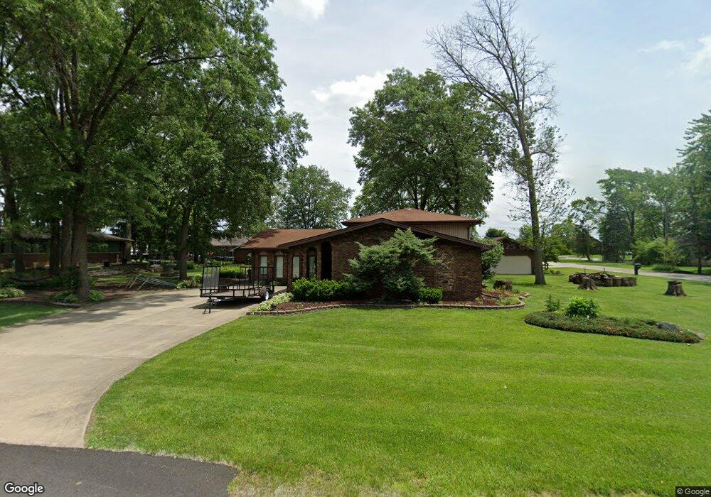
18345 Harper St Lansing, IL 60438
Estimated Value: $190,000 - $290,000
3
Beds
3
Baths
1,291
Sq Ft
$189/Sq Ft
Est. Value
About This Home
This home is located at 18345 Harper St, Lansing, IL 60438 and is currently estimated at $243,645, approximately $188 per square foot. 18345 Harper St is a home located in Cook County with nearby schools including Wolcott School, Thornwood High School, and Eagle Academy Christian School.
Ownership History
Date
Name
Owned For
Owner Type
Purchase Details
Closed on
Jun 2, 2017
Sold by
Mayer Linda
Bought by
Morale Joel Lamas
Current Estimated Value
Home Financials for this Owner
Home Financials are based on the most recent Mortgage that was taken out on this home.
Original Mortgage
$154,850
Outstanding Balance
$129,117
Interest Rate
4.37%
Mortgage Type
New Conventional
Estimated Equity
$114,528
Create a Home Valuation Report for This Property
The Home Valuation Report is an in-depth analysis detailing your home's value as well as a comparison with similar homes in the area
Home Values in the Area
Average Home Value in this Area
Purchase History
| Date | Buyer | Sale Price | Title Company |
|---|---|---|---|
| Morale Joel Lamas | $163,000 | Old Republic Title |
Source: Public Records
Mortgage History
| Date | Status | Borrower | Loan Amount |
|---|---|---|---|
| Open | Morale Joel Lamas | $154,850 |
Source: Public Records
Tax History
| Year | Tax Paid | Tax Assessment Tax Assessment Total Assessment is a certain percentage of the fair market value that is determined by local assessors to be the total taxable value of land and additions on the property. | Land | Improvement |
|---|---|---|---|---|
| 2025 | $1,974 | $6,948 | $1,260 | $5,688 |
| 2024 | $1,974 | $6,948 | $1,260 | $5,688 |
| 2023 | $1,616 | $6,948 | $1,260 | $5,688 |
| 2022 | $1,616 | $4,941 | $1,103 | $3,838 |
| 2021 | $1,549 | $4,939 | $1,102 | $3,837 |
| 2020 | $1,521 | $4,939 | $1,102 | $3,837 |
| 2019 | $1,654 | $5,377 | $1,023 | $4,354 |
| 2018 | $2,155 | $5,377 | $1,023 | $4,354 |
| 2017 | $2,181 | $5,377 | $1,023 | $4,354 |
| 2016 | $1,111 | $4,771 | $945 | $3,826 |
| 2015 | $1,105 | $4,771 | $945 | $3,826 |
| 2014 | $1,096 | $4,771 | $945 | $3,826 |
| 2013 | $1,346 | $5,064 | $945 | $4,119 |
Source: Public Records
Map
Nearby Homes
- 18317 Harper St
- 18036 Crystal Ln
- 18118 Whitman Ln
- 18020 Ridgeland Ave
- 18539 Country Ln
- 1844 180th Place
- 1943 182nd St
- 1555 Thornton Lansing Rd
- 17750 Clyde Ave
- 18555 Olde Farm Rd
- 18309 Bock Rd
- 18439 Locust St
- 2201 Thornton Lansing Rd
- 17934 Locust St
- 17902 Locust St
- 18331 Hickory St
- 17871 Locust St
- 2340 186th St Unit 7
- 18550 Torrence Ave Unit 19
- 18550 Torrence Ave Unit 5
- 18345 Harper St
- 18345 Harper St
- 18333 Harper St
- 18333 Harper St
- 18330 Stony Island Ave
- 18330 Stony Island Ave
- 18330 Stony Island Ave
- 18330 Stony Island Ave
- 18330 Stony Island Ave
- 18330 Stony Island Ave
- 18340 Stony Island Ave
- 18348 Harper St
- 18317 Harper St
- 18317 Harper St
- 18317 Harper St
- 1469 184th St
- 18320 Stony Island Ave
- 18320 Harper St
- 18320 Harper St
Your Personal Tour Guide
Ask me questions while you tour the home.