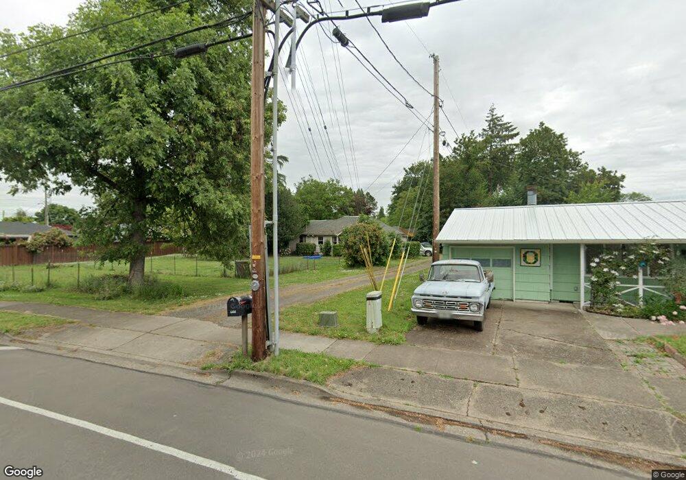
1835 Gilham Rd Eugene, OR 97401
Cal Young NeighborhoodEstimated Value: $419,000 - $483,000
3
Beds
1
Bath
1,302
Sq Ft
$354/Sq Ft
Est. Value
About This Home
This home is located at 1835 Gilham Rd, Eugene, OR 97401 and is currently estimated at $460,647, approximately $353 per square foot. 1835 Gilham Rd is a home located in Lane County with nearby schools including Willagillespie Elementary School, Monroe Middle School, and Sheldon High School.
Ownership History
Date
Name
Owned For
Owner Type
Purchase Details
Closed on
Nov 1, 2007
Sold by
Campbell Cynthia J and Campbell Glen
Bought by
Campbell Glen A and Campbell Cynthia J
Current Estimated Value
Purchase Details
Closed on
Jan 27, 2005
Sold by
Jeppesen Alice Jane
Bought by
Campbell Cynthia J
Home Financials for this Owner
Home Financials are based on the most recent Mortgage that was taken out on this home.
Original Mortgage
$160,000
Outstanding Balance
$79,808
Interest Rate
5.67%
Mortgage Type
Purchase Money Mortgage
Estimated Equity
$380,839
Create a Home Valuation Report for This Property
The Home Valuation Report is an in-depth analysis detailing your home's value as well as a comparison with similar homes in the area
Home Values in the Area
Average Home Value in this Area
Purchase History
| Date | Buyer | Sale Price | Title Company |
|---|---|---|---|
| Campbell Glen A | -- | Evergreen Land Title Co | |
| Campbell Cynthia J | $200,000 | Evergreen Land Title Co |
Source: Public Records
Mortgage History
| Date | Status | Borrower | Loan Amount |
|---|---|---|---|
| Open | Campbell Cynthia J | $160,000 |
Source: Public Records
Tax History
| Year | Tax Paid | Tax Assessment Tax Assessment Total Assessment is a certain percentage of the fair market value that is determined by local assessors to be the total taxable value of land and additions on the property. | Land | Improvement |
|---|---|---|---|---|
| 2025 | $4,278 | $219,559 | -- | -- |
| 2024 | $4,225 | $213,165 | -- | -- |
| 2023 | $4,225 | $206,957 | $0 | $0 |
| 2022 | $3,958 | $200,930 | $0 | $0 |
| 2021 | $3,717 | $195,078 | $0 | $0 |
| 2020 | $3,730 | $189,397 | $0 | $0 |
| 2019 | $3,603 | $183,881 | $0 | $0 |
| 2018 | $3,391 | $173,326 | $0 | $0 |
| 2017 | $3,239 | $173,326 | $0 | $0 |
| 2016 | $3,159 | $168,278 | $0 | $0 |
| 2015 | $3,068 | $163,377 | $0 | $0 |
| 2014 | $3,007 | $158,618 | $0 | $0 |
Source: Public Records
Map
Nearby Homes
- 1901 Minda Dr
- 2495 Jeppesen Acres Rd
- 1810 Minda Dr
- 1521 Gilham Rd
- 1943 Monterey Ln
- 2132 Willona Dr
- 2134 Willona Dr
- 2207 Willona Dr
- 2420 Willona Dr
- 0 Cal Young Rd Unit Lot 4
- 1625 Monterey Ln
- 2580 Elysium Ave
- 2577 Elysium Ave
- 2291 Norkenzie Rd
- 1697 Elanco Ave
- 1500 Norkenzie Rd Unit 12
- 1332 Jeppesen Ave
- 2645 Chuckanut St
- 1328 Spyglass Dr
- 1090 Corydon St
- 2119 Sally Way
- 2124 Jeppesen Acres Rd
- 1811 Gilham Rd
- 2118 Jeppesen Acres Rd
- 2125 Sally Way
- 2136 Jeppesen Acres Rd
- 2135 Sally Way
- 1798 Gilham Rd
- 2148 Jeppesen Acres Rd
- 2125 Jeppesen Acres Rd
- 1830 Gilham Rd
- 1775 Gilham Rd
- 2115 Jeppesen Acres Rd
- 2120 Sally Way
- 1911 Gilham Rd
- 1776 Gilham Rd
- 2147 Sally Way
- 2130 Sally Way
- 1900 Gilham Rd
- 2145 Jeppesen Acres Rd
Your Personal Tour Guide
Ask me questions while you tour the home.