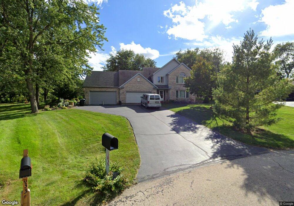
1835 Maple Ln Sleepy Hollow, IL 60118
Estimated Value: $449,000 - $508,000
3
Beds
--
Bath
2,280
Sq Ft
$210/Sq Ft
Est. Value
About This Home
This home is located at 1835 Maple Ln, Sleepy Hollow, IL 60118 and is currently estimated at $479,173, approximately $210 per square foot. 1835 Maple Ln is a home located in Kane County with nearby schools including Sleepy Hollow Elementary School, Dundee Middle School, and Dundee-Crown High School.
Ownership History
Date
Name
Owned For
Owner Type
Purchase Details
Closed on
Jan 21, 2009
Sold by
Miskic Boban and Miskic Mira A
Bought by
First American Bank and Trust #1-09-104
Current Estimated Value
Purchase Details
Closed on
Dec 10, 2004
Sold by
Evans Alan J and Evans Christine L
Bought by
Miskic Boban and Miskic Mira A
Home Financials for this Owner
Home Financials are based on the most recent Mortgage that was taken out on this home.
Original Mortgage
$287,200
Interest Rate
5.84%
Mortgage Type
Purchase Money Mortgage
Purchase Details
Closed on
Aug 23, 2003
Sold by
Evans Alan J and Evans Christine
Bought by
Evans Alan J and Evans Christine L
Create a Home Valuation Report for This Property
The Home Valuation Report is an in-depth analysis detailing your home's value as well as a comparison with similar homes in the area
Home Values in the Area
Average Home Value in this Area
Purchase History
| Date | Buyer | Sale Price | Title Company |
|---|---|---|---|
| First American Bank | -- | None Available | |
| Miskic Boban | $359,000 | -- | |
| Evans Alan J | -- | -- |
Source: Public Records
Mortgage History
| Date | Status | Borrower | Loan Amount |
|---|---|---|---|
| Previous Owner | Miskic Boban | $287,200 |
Source: Public Records
Tax History Compared to Growth
Tax History
| Year | Tax Paid | Tax Assessment Tax Assessment Total Assessment is a certain percentage of the fair market value that is determined by local assessors to be the total taxable value of land and additions on the property. | Land | Improvement |
|---|---|---|---|---|
| 2024 | $10,040 | $141,813 | $28,395 | $113,418 |
| 2023 | $9,594 | $127,599 | $25,549 | $102,050 |
| 2022 | $8,647 | $111,435 | $25,549 | $85,886 |
| 2021 | $8,380 | $105,216 | $24,123 | $81,093 |
| 2020 | $8,227 | $102,851 | $23,581 | $79,270 |
| 2019 | $7,997 | $97,638 | $22,386 | $75,252 |
| 2018 | $8,055 | $95,181 | $21,943 | $73,238 |
| 2017 | $7,733 | $89,038 | $20,527 | $68,511 |
| 2016 | $7,405 | $80,983 | $22,569 | $58,414 |
| 2015 | -- | $78,330 | $21,148 | $57,182 |
| 2014 | -- | $81,545 | $20,564 | $60,981 |
| 2013 | -- | $84,041 | $21,193 | $62,848 |
Source: Public Records
Map
Nearby Homes
- 849 Hemlock Dr
- 1042 Chateau Bluff Ln
- 900 Holly Ct
- 37 River Ridge Dr
- 842 Winmoor Dr
- 1214 Carol Crest Dr
- 937 Willow Ln
- 0000 Strom Dr
- 214 S 7th St
- 503 Edinburgh Ln
- 325 Sharon Dr
- 496 Edinburgh Ln
- 215 Sharon Dr
- 516 S 1st St
- 404 Washington St
- 1715 W Main St
- 10 Chateau Dr
- 936 Glen Oak Dr
- Lot 1 View St
- 825 Lindsay Ln
- 1833 Maple Ln
- 1840 Maple Ln
- 828 Hemlock Dr Unit 8
- 830 Hemlock Dr
- 826 Hemlock Dr
- 834 Hemlock Dr
- 1838 Maple Ln Unit 8
- 1831 Maple Ln
- 838 Hemlock Dr
- 823 Locust Dr
- 825 Locust Dr
- 1834 Maple Ln
- 842 Hemlock Dr Unit 8
- 1829 Maple Ln
- 821 Locust Dr
- 831 Hemlock Dr
- 833 Hemlock Dr
- 829 Hemlock Dr
- 1832 Maple Ln
- 859 Willow Ln