Estimated Value: $405,151 - $510,000
4
Beds
3
Baths
3,700
Sq Ft
$129/Sq Ft
Est. Value
About This Home
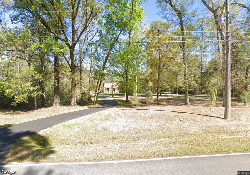
This home is located at 1835 Oakdale Rd SE, Cairo, GA 39828 and is currently estimated at $476,538, approximately $128 per square foot. 1835 Oakdale Rd SE is a home located in Grady County with nearby schools including Cairo High School.
Ownership History
Date
Name
Owned For
Owner Type
Purchase Details
Closed on
Jun 29, 2006
Sold by
Thomas Robert A
Bought by
Butler Kevin Todd
Current Estimated Value
Home Financials for this Owner
Home Financials are based on the most recent Mortgage that was taken out on this home.
Original Mortgage
$304,000
Interest Rate
6.6%
Mortgage Type
New Conventional
Purchase Details
Closed on
Aug 12, 2004
Sold by
Myers Scott
Bought by
Thomas Robert A
Purchase Details
Closed on
Mar 16, 2001
Sold by
Vanlandingham Teresa G
Bought by
Myers Scott
Purchase Details
Closed on
Aug 30, 1994
Bought by
Vanlandingham Teresa G
Create a Home Valuation Report for This Property
The Home Valuation Report is an in-depth analysis detailing your home's value as well as a comparison with similar homes in the area
Home Values in the Area
Average Home Value in this Area
Purchase History
| Date | Buyer | Sale Price | Title Company |
|---|---|---|---|
| Butler Kevin Todd | $310,000 | -- | |
| Thomas Robert A | $257,000 | -- | |
| Myers Scott | -- | -- | |
| Vanlandingham Teresa G | -- | -- |
Source: Public Records
Mortgage History
| Date | Status | Borrower | Loan Amount |
|---|---|---|---|
| Closed | Butler Kevin Todd | $304,000 |
Source: Public Records
Tax History Compared to Growth
Tax History
| Year | Tax Paid | Tax Assessment Tax Assessment Total Assessment is a certain percentage of the fair market value that is determined by local assessors to be the total taxable value of land and additions on the property. | Land | Improvement |
|---|---|---|---|---|
| 2024 | $5,940 | $152,115 | $18,200 | $133,915 |
| 2023 | $3,386 | $93,146 | $7,200 | $85,946 |
| 2022 | $3,922 | $103,456 | $7,200 | $96,256 |
| 2021 | $3,932 | $103,456 | $7,200 | $96,256 |
| 2020 | $3,943 | $103,456 | $7,200 | $96,256 |
| 2019 | $3,942 | $103,456 | $7,200 | $96,256 |
| 2018 | $3,631 | $100,290 | $7,200 | $93,090 |
| 2017 | $3,493 | $100,290 | $7,200 | $93,090 |
| 2016 | $3,126 | $87,950 | $7,200 | $80,750 |
| 2015 | $3,095 | $87,950 | $7,200 | $80,750 |
| 2014 | $3,096 | $87,950 | $7,200 | $80,750 |
| 2013 | -- | $116,214 | $16,000 | $100,214 |
Source: Public Records
Map
Nearby Homes
- 1870 Oakdale Rd SE
- 1854 Lakewood Dr SE
- 140 Elderberry Ln
- 198 Oakdale Rd SE
- 1217 Pine Park Rd
- 1406 Platt Ave
- 130 17th Ave SE
- 1310 Stone Ave
- 7501 111 S
- 75 14th Ave SE
- 530 6th St
- 225 Helton Ln
- 236 Helton Ln
- 1193 S Broad St
- 270 Muggridge Ln
- 109 Oriac Ave SW
- 117 Pine Cir SW
- 530 6th Ave SE
- 602 4th St SE
- 112 Pine Cir SW
- 1827 Oakdale Rd SE
- 1869 Oakdale Rd SE
- 1879 Oakdale Rd SE
- 1834 Oakdale Rd SE
- 1852 Oakdale Rd SE
- 1825 Oakdale Rd SE
- 1814 Oakdale Rd SE
- 0 Xxx Elderberry Rd
- 1806 Oakdale Rd SE
- 1884 Oakdale Rd SE
- 1817 Lakewood Dr SE
- 1794 Oakdale Rd
- 1853 Lakewood Dr SE
- 1889 Oakdale Rd SE
- 1803 Lakewood Dr SE
- 1818 Lakewood Dr SE
- 1871 Lakewood Dr SE
- 1890 Oakdale Rd SE
- 1795 Lakewood Dr SE
- 1795 Lakewood Dr SE Unit 2