Estimated Value: $540,000 - $765,000
4
Beds
2
Baths
1,782
Sq Ft
$368/Sq Ft
Est. Value
About This Home
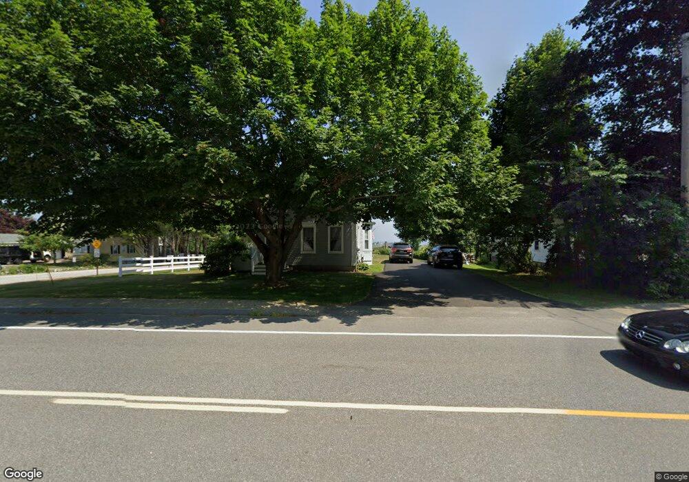
This home is located at 1835 Post Rd, Wells, ME 04090 and is currently estimated at $655,697, approximately $367 per square foot. 1835 Post Rd is a home located in York County with nearby schools including Wells Junior High School, Wells Elementary School, and Wells High School.
Ownership History
Date
Name
Owned For
Owner Type
Purchase Details
Closed on
Mar 9, 2007
Sold by
Brokaw Cathy M
Bought by
Cave James C
Current Estimated Value
Home Financials for this Owner
Home Financials are based on the most recent Mortgage that was taken out on this home.
Original Mortgage
$383,454
Interest Rate
6.33%
Mortgage Type
FHA
Purchase Details
Closed on
Mar 22, 2006
Sold by
Edith A Yakemore Ret and Yakemore
Bought by
Brokaw Cathy and Cave James
Purchase Details
Closed on
May 31, 2005
Sold by
Straka Elizabeth A and Glassman David A
Bought by
Cave James C
Create a Home Valuation Report for This Property
The Home Valuation Report is an in-depth analysis detailing your home's value as well as a comparison with similar homes in the area
Home Values in the Area
Average Home Value in this Area
Purchase History
| Date | Buyer | Sale Price | Title Company |
|---|---|---|---|
| Cave James C | -- | -- | |
| Cave James C | -- | -- | |
| Brokaw Cathy | -- | -- | |
| Brokaw Cathy | -- | -- | |
| Brokaw Cathy | -- | -- | |
| Cave James C | -- | -- | |
| Cave James C | -- | -- |
Source: Public Records
Mortgage History
| Date | Status | Borrower | Loan Amount |
|---|---|---|---|
| Open | Cave James C | $372,300 | |
| Closed | Cave James C | $96,000 | |
| Closed | Cave James C | $383,454 |
Source: Public Records
Tax History
| Year | Tax Paid | Tax Assessment Tax Assessment Total Assessment is a certain percentage of the fair market value that is determined by local assessors to be the total taxable value of land and additions on the property. | Land | Improvement |
|---|---|---|---|---|
| 2025 | $3,366 | $521,070 | $226,340 | $294,730 |
| 2024 | $3,168 | $521,070 | $226,340 | $294,730 |
| 2023 | $3,106 | $521,070 | $226,340 | $294,730 |
| 2022 | $2,986 | $285,490 | $144,040 | $141,450 |
| 2021 | $3,003 | $285,490 | $144,040 | $141,450 |
| 2020 | $2,893 | $276,060 | $144,040 | $132,020 |
| 2019 | $2,877 | $276,060 | $144,040 | $132,020 |
| 2018 | $2,849 | $276,060 | $144,040 | $132,020 |
| 2017 | $2,805 | $276,060 | $144,040 | $132,020 |
| 2016 | $2,777 | $276,060 | $144,040 | $132,020 |
| 2015 | $2,747 | $276,060 | $144,040 | $132,020 |
| 2013 | $2,516 | $275,920 | $144,040 | $131,880 |
Source: Public Records
Map
Nearby Homes
- 1762 Post Rd Unit 206
- 1733 Post Rd
- 99 Harbor Rd Unit Lot 52
- 99 Harbor Rd Unit Lot 54
- 66 Nicholas Dr
- TBD Eagle Crest Dr
- 50 Coles Hill Rd
- 47 Whistle Stop Cir
- 89 Skyline Cir
- 500 Atlantic Ave Unit 2
- Lots 1-6 Pike Rd
- 1413 Post Rd Unit 58
- 1373 Post Rd Unit 8E
- 1373 Post Rd Unit 4E
- 1373 Post Rd Unit 10A
- 1373 Post Rd Unit 2C
- 1373 Post Rd Unit 6B
- 1373 Post Rd Unit 1F
- 1351 Post Rd Unit 49
- 9 Robert Ln
Your Personal Tour Guide
Ask me questions while you tour the home.