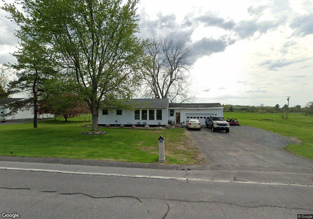
18356 State Route 12e Dexter, NY 13634
Estimated Value: $131,000 - $177,000
3
Beds
1
Bath
1,218
Sq Ft
$135/Sq Ft
Est. Value
About This Home
This home is located at 18356 State Route 12e, Dexter, NY 13634 and is currently estimated at $164,390, approximately $134 per square foot. 18356 State Route 12e is a home located in Jefferson County with nearby schools including General Brown Junior/Senior High School and St. Anthony S School.
Ownership History
Date
Name
Owned For
Owner Type
Purchase Details
Closed on
Sep 27, 2021
Sold by
Jenner Philip G and Jenner Lynn A
Bought by
Savage James C
Current Estimated Value
Home Financials for this Owner
Home Financials are based on the most recent Mortgage that was taken out on this home.
Original Mortgage
$100,000
Outstanding Balance
$91,191
Interest Rate
2.8%
Mortgage Type
Purchase Money Mortgage
Estimated Equity
$73,199
Purchase Details
Closed on
Jun 29, 2000
Sold by
Bailey George W
Bought by
Jenner Philip G
Create a Home Valuation Report for This Property
The Home Valuation Report is an in-depth analysis detailing your home's value as well as a comparison with similar homes in the area
Home Values in the Area
Average Home Value in this Area
Purchase History
| Date | Buyer | Sale Price | Title Company |
|---|---|---|---|
| Savage James C | $125,000 | None Available | |
| Jenner Philip G | $52,500 | -- |
Source: Public Records
Mortgage History
| Date | Status | Borrower | Loan Amount |
|---|---|---|---|
| Open | Savage James C | $100,000 |
Source: Public Records
Tax History
| Year | Tax Paid | Tax Assessment Tax Assessment Total Assessment is a certain percentage of the fair market value that is determined by local assessors to be the total taxable value of land and additions on the property. | Land | Improvement |
|---|---|---|---|---|
| 2024 | $2,890 | $125,000 | $18,400 | $106,600 |
| 2023 | $2,951 | $125,000 | $18,400 | $106,600 |
| 2022 | $2,842 | $125,000 | $18,400 | $106,600 |
| 2021 | $2,790 | $125,000 | $18,400 | $106,600 |
| 2020 | $2,501 | $125,000 | $18,400 | $106,600 |
| 2019 | $2,434 | $125,000 | $18,400 | $106,600 |
| 2018 | $2,434 | $125,000 | $18,400 | $106,600 |
| 2017 | $2,408 | $125,000 | $18,400 | $106,600 |
| 2016 | $2,377 | $125,000 | $18,400 | $106,600 |
| 2015 | -- | $77,000 | $10,900 | $66,100 |
| 2014 | -- | $77,000 | $10,900 | $66,100 |
Source: Public Records
Map
Nearby Homes
- 17045 State Route 12f
- 219-221 W Main St
- 23610 Fetterly Rd
- 328 Brown Blvd
- 23794 County Route 54
- 214 E Bronson St
- 107 W Kirby St
- 203 Lakeview Dr
- 18289 State Route 3
- 20207 Reasoner Rd
- 518 Main St
- 23960 White Rd
- 0 State Route 3 Unit 13555497
- 0 Spruce Cresent
- 226 Wealtha Ave
- 126 Casey St
- 130 Casey St
- 20304 Burton Rd
- 148 Duffy St
- 859 Coffeen St
- 18370 State Route 12e
- 18338 State Route 12e
- 18382 State Route 12e
- 18400 State Route 12e
- 18296 State Route 12e
- 18284 State Route 12e
- 18422 State Route 12e
- 18252 State Route 12e
- 18252 State Route 12e
- 18462 State Route 12e
- 18236 State Route 12e
- 18468 State Route 12e
- 18206 State Route 12e
- 23235 Butts Rd
- 18486 State Route 12e
- 23276 Butts Rd
- 23258 Butts Rd
- 23222 Butts Rd
- 18182 State Route 12e
- 18581 State Route 12f
Your Personal Tour Guide
Ask me questions while you tour the home.