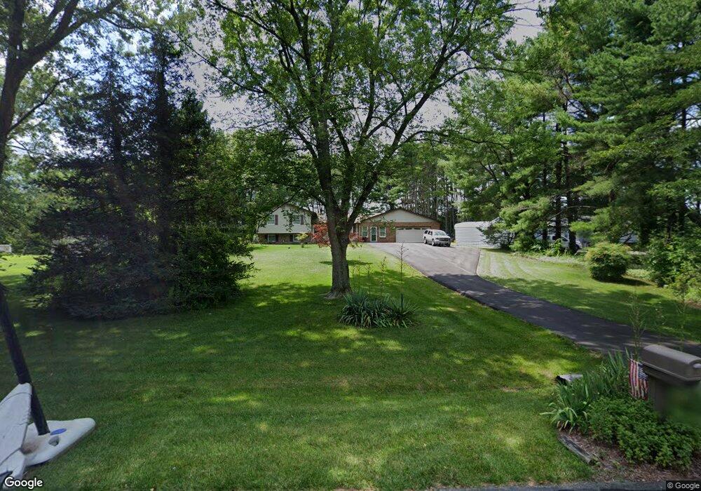
1836 Brett Ct Annapolis, MD 21401
Estimated Value: $678,684 - $787,000
--
Bed
2
Baths
2,558
Sq Ft
$285/Sq Ft
Est. Value
About This Home
This home is located at 1836 Brett Ct, Annapolis, MD 21401 and is currently estimated at $729,671, approximately $285 per square foot. 1836 Brett Ct is a home located in Anne Arundel County with nearby schools including Rolling Knolls Elementary School, Wiley H. Bates Middle School, and Annapolis High School.
Ownership History
Date
Name
Owned For
Owner Type
Purchase Details
Closed on
Aug 4, 2022
Sold by
Demers James R and Demers Patricia A
Bought by
Demers James R and Demers James R
Current Estimated Value
Purchase Details
Closed on
Feb 9, 1990
Sold by
Coolbaugh Stanley W
Bought by
Demers James R and Demers Patricia A
Home Financials for this Owner
Home Financials are based on the most recent Mortgage that was taken out on this home.
Original Mortgage
$159,200
Interest Rate
10.21%
Create a Home Valuation Report for This Property
The Home Valuation Report is an in-depth analysis detailing your home's value as well as a comparison with similar homes in the area
Home Values in the Area
Average Home Value in this Area
Purchase History
| Date | Buyer | Sale Price | Title Company |
|---|---|---|---|
| Demers James R | -- | None Listed On Document | |
| Demers James R | $199,000 | -- |
Source: Public Records
Mortgage History
| Date | Status | Borrower | Loan Amount |
|---|---|---|---|
| Previous Owner | Demers James R | $159,200 |
Source: Public Records
Tax History Compared to Growth
Tax History
| Year | Tax Paid | Tax Assessment Tax Assessment Total Assessment is a certain percentage of the fair market value that is determined by local assessors to be the total taxable value of land and additions on the property. | Land | Improvement |
|---|---|---|---|---|
| 2025 | $4,330 | $556,067 | -- | -- |
| 2024 | $4,330 | $509,533 | $0 | $0 |
| 2023 | $4,178 | $463,000 | $205,300 | $257,700 |
| 2022 | $3,921 | $458,333 | $0 | $0 |
| 2021 | $3,757 | $453,667 | $0 | $0 |
| 2020 | $3,757 | $449,000 | $205,300 | $243,700 |
| 2019 | $3,693 | $438,233 | $0 | $0 |
| 2018 | $4,335 | $427,467 | $0 | $0 |
| 2017 | $3,438 | $416,700 | $0 | $0 |
| 2016 | -- | $405,700 | $0 | $0 |
| 2015 | -- | $394,700 | $0 | $0 |
| 2014 | -- | $383,700 | $0 | $0 |
Source: Public Records
Map
Nearby Homes
- 1868 Lynnfield Dr
- 1961 Sigfrid Ct
- 1002 Covington Way
- 602 Wayward Dr
- 2175 Glencrest Cir
- 2175
- 2175 Glencrest Circle - Taft Model
- 1676 Saint Albans Square
- 553 Choptank Cove Ct
- 1634 Old Generals Hwy
- 522 Epping Forest Rd
- 1496 River Rd
- 1101 Opaca Ct
- 2000 Monticello Dr
- 40 Oak Ct
- 1580 Keswick Place
- 39 Oak Ct
- 1583 Keswick Place
- 1809 Labrott Ln
- 1909 Eleanor Ct
- 1838 Brett Ct
- 1834 Brett Ct
- 1840 Brett Ct
- 503 Corbin Pkwy
- 505 Corbin Pkwy
- 1837 Brett Ct
- 1835 Brett Ct
- 1839 Brett Ct
- 509 Corbin Pkwy
- 1843 Brett Ct
- 1833 Brett Ct
- 1841 Brett Ct
- 502 Corbin Pkwy
- 504 Corbin Pkwy
- 515 Corbin Pkwy
- 1838 Generals Hwy
- 500 Corbin Pkwy
- 506 Corbin Pkwy
- 1848 Generals Hwy
- 510 Corbin Pkwy