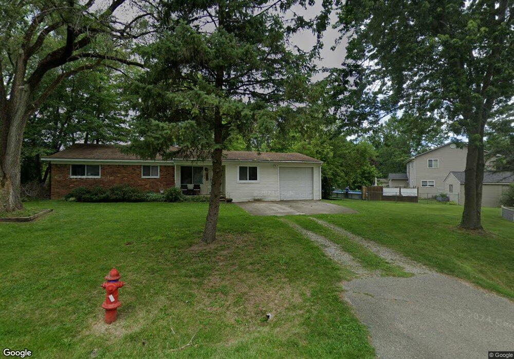
1836 Henbert Rd West Bloomfield, MI 48324
Estimated Value: $282,220 - $307,000
3
Beds
2
Baths
1,417
Sq Ft
$208/Sq Ft
Est. Value
About This Home
This home is located at 1836 Henbert Rd, West Bloomfield, MI 48324 and is currently estimated at $294,555, approximately $207 per square foot. 1836 Henbert Rd is a home located in Oakland County with nearby schools including Haviland Elementary School, Pierce Middle School, and Waterford Mott High School.
Ownership History
Date
Name
Owned For
Owner Type
Purchase Details
Closed on
Sep 23, 2008
Sold by
Najar Ayad F
Bought by
Federal Home Loan Mortgage Corp
Current Estimated Value
Purchase Details
Closed on
Dec 14, 2004
Sold by
Correia Maximus J and Correia Jonita
Bought by
Najar Ayad F
Home Financials for this Owner
Home Financials are based on the most recent Mortgage that was taken out on this home.
Original Mortgage
$127,440
Interest Rate
5.2%
Mortgage Type
Purchase Money Mortgage
Purchase Details
Closed on
Sep 12, 2002
Sold by
Correia Maximus J
Bought by
Correia Maximus J
Purchase Details
Closed on
Oct 15, 1999
Sold by
Pike Betty Lou
Bought by
Correia Maximus J
Create a Home Valuation Report for This Property
The Home Valuation Report is an in-depth analysis detailing your home's value as well as a comparison with similar homes in the area
Home Values in the Area
Average Home Value in this Area
Purchase History
| Date | Buyer | Sale Price | Title Company |
|---|---|---|---|
| Federal Home Loan Mortgage Corp | $141,963 | None Available | |
| Najar Ayad F | $159,300 | -- | |
| Correia Maximus J | -- | -- | |
| Correia Maximus J | $110,000 | -- |
Source: Public Records
Mortgage History
| Date | Status | Borrower | Loan Amount |
|---|---|---|---|
| Previous Owner | Najar Ayad F | $127,440 |
Source: Public Records
Tax History Compared to Growth
Tax History
| Year | Tax Paid | Tax Assessment Tax Assessment Total Assessment is a certain percentage of the fair market value that is determined by local assessors to be the total taxable value of land and additions on the property. | Land | Improvement |
|---|---|---|---|---|
| 2024 | $3,309 | $127,170 | $0 | $0 |
| 2022 | $3,122 | $120,180 | $39,250 | $80,930 |
| 2021 | $3,854 | $102,050 | $0 | $0 |
| 2020 | $2,734 | $97,920 | $29,730 | $68,190 |
| 2018 | $3,667 | $84,240 | $23,500 | $60,740 |
| 2015 | -- | $68,730 | $0 | $0 |
| 2014 | -- | $63,610 | $0 | $0 |
| 2011 | -- | $59,430 | $0 | $0 |
Source: Public Records
Map
Nearby Homes
- 1837 Henbert Rd
- 1992 Swaranne Dr
- 1811 Henbert Rd
- 6620 Red Cedar Ln Unit 37
- 6726 Red Cedar Ln
- 1985 Christopher Ct
- 1604 Petrolia
- VAC Mercedes Ave
- 1276 Jay St Unit 6
- VL Tamson St
- 2236 Locklin Ln
- 2112 Keylon Dr
- 6034 Beachwood Dr
- 9999 Cooley Lake Rd
- 1701 Marylestone Dr
- 6057 Beachwood Dr
- 1150 Jay St
- 2140 Timberridge Ct
- 1644 Marylestone Dr
- 7040 Villa Dr Unit 2
- 1824 Henbert Ct
- 1846 Henbert Rd
- 1819 Lochaven Rd
- 1803 Lochaven Rd
- 1780 Henbert Ct
- 1787 Lochaven Rd
- 1852 Henbert Rd
- 1737 Lochaven Rd
- 1758 Henbert Ct
- 1851 Lochaven Rd
- 1847 Henbert Rd
- 1857 Henbert Rd
- 1814 Henbert Rd
- 1827 Henbert Rd
- 6460 Hermana Rd
- 6478 Hermana Rd
- 1777 Henbert Ct Unit Bldg-Unit
- 1777 Henbert Ct
- 1813 Henbert Rd
- 6492 Hermana Rd