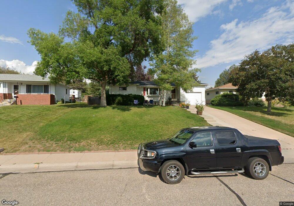
1836 Milton Dr Cheyenne, WY 82001
Estimated Value: $316,000 - $362,000
--
Bed
--
Bath
982
Sq Ft
$342/Sq Ft
Est. Value
About This Home
This home is located at 1836 Milton Dr, Cheyenne, WY 82001 and is currently estimated at $336,308, approximately $342 per square foot. 1836 Milton Dr is a home located in Laramie County with nearby schools including Henderson Elementary School, Carey Junior High School, and East High School.
Ownership History
Date
Name
Owned For
Owner Type
Purchase Details
Closed on
Nov 17, 2016
Sold by
Anderson Patricia Lee
Bought by
Anson Carey K and Anson Sharon K
Current Estimated Value
Home Financials for this Owner
Home Financials are based on the most recent Mortgage that was taken out on this home.
Original Mortgage
$120,000
Outstanding Balance
$96,339
Interest Rate
3.42%
Mortgage Type
New Conventional
Estimated Equity
$239,969
Purchase Details
Closed on
Sep 30, 2011
Sold by
Anderson Patricia Lee
Bought by
Anderson Patricia Lee
Create a Home Valuation Report for This Property
The Home Valuation Report is an in-depth analysis detailing your home's value as well as a comparison with similar homes in the area
Home Values in the Area
Average Home Value in this Area
Purchase History
| Date | Buyer | Sale Price | Title Company |
|---|---|---|---|
| Anson Carey K | -- | First American Title | |
| Anderson Patricia Lee | -- | None Available |
Source: Public Records
Mortgage History
| Date | Status | Borrower | Loan Amount |
|---|---|---|---|
| Open | Anson Carey K | $120,000 |
Source: Public Records
Tax History Compared to Growth
Tax History
| Year | Tax Paid | Tax Assessment Tax Assessment Total Assessment is a certain percentage of the fair market value that is determined by local assessors to be the total taxable value of land and additions on the property. | Land | Improvement |
|---|---|---|---|---|
| 2025 | $1,981 | $21,724 | $3,384 | $18,340 |
| 2024 | $1,981 | $28,015 | $4,511 | $23,504 |
| 2023 | $2,015 | $28,492 | $4,511 | $23,981 |
| 2022 | $1,726 | $23,909 | $4,511 | $19,398 |
| 2021 | $1,638 | $22,648 | $4,511 | $18,137 |
| 2020 | $1,435 | $19,887 | $4,511 | $15,376 |
| 2019 | $1,373 | $19,023 | $4,511 | $14,512 |
| 2018 | $1,231 | $17,212 | $4,155 | $13,057 |
| 2017 | $1,210 | $16,765 | $4,155 | $12,610 |
| 2016 | $1,148 | $15,899 | $3,937 | $11,962 |
| 2015 | $1,072 | $14,846 | $3,937 | $10,909 |
| 2014 | $1,114 | $15,320 | $3,937 | $11,383 |
Source: Public Records
Map
Nearby Homes
- 3700 Essex Rd
- 1801 Milton Dr
- 1813 Andover Dr
- 3444 Dover Rd
- 1958 Newton Dr
- 1813 Newton Dr
- 1751 E Pershing Blvd
- 1718 Newton Dr
- 1702 Newton Dr
- 3529 Concord Rd
- 1731 E Pershing Blvd
- 1808 E 21st St
- 3561 Boston Rd
- TBD E Lincolnway
- TBD Charles St
- Tract 1 E Pershing Blvd
- 1610 E 20th St
- Lot 1 E Phipps Ave
- 3628 Amherst Rd
- 1837 Crook Ave