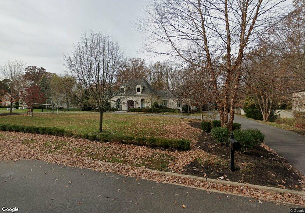
1836 S Brookfield St Vineland, NJ 08361
Estimated Value: $454,000 - $803,000
--
Bed
--
Bath
3,626
Sq Ft
$181/Sq Ft
Est. Value
About This Home
This home is located at 1836 S Brookfield St, Vineland, NJ 08361 and is currently estimated at $654,946, approximately $180 per square foot. 1836 S Brookfield St is a home located in Cumberland County with nearby schools including Anthony Rossi Elementary School, Pauline J. Petway Elementary School, and Vineland Senior High School.
Ownership History
Date
Name
Owned For
Owner Type
Purchase Details
Closed on
Nov 16, 2007
Sold by
Pustizzi Andrew J
Bought by
Ramsi Martin A and Ramsi Valerie J
Current Estimated Value
Purchase Details
Closed on
Apr 29, 2004
Sold by
Green Robert A
Bought by
Pustizzi Andrew
Purchase Details
Closed on
Mar 12, 2002
Sold by
Allen Richard
Bought by
Green Robert and Green Sharon
Create a Home Valuation Report for This Property
The Home Valuation Report is an in-depth analysis detailing your home's value as well as a comparison with similar homes in the area
Home Values in the Area
Average Home Value in this Area
Purchase History
| Date | Buyer | Sale Price | Title Company |
|---|---|---|---|
| Ramsi Martin A | $135,000 | -- | |
| Pustizzi Andrew | $95,000 | -- | |
| Green Robert | $85,000 | -- |
Source: Public Records
Tax History Compared to Growth
Tax History
| Year | Tax Paid | Tax Assessment Tax Assessment Total Assessment is a certain percentage of the fair market value that is determined by local assessors to be the total taxable value of land and additions on the property. | Land | Improvement |
|---|---|---|---|---|
| 2025 | $13,580 | $426,500 | $55,100 | $371,400 |
| 2024 | $13,580 | $426,500 | $55,100 | $371,400 |
| 2023 | $13,490 | $426,500 | $55,100 | $371,400 |
| 2022 | $13,089 | $426,500 | $55,100 | $371,400 |
| 2021 | $12,112 | $402,000 | $55,100 | $346,900 |
| 2020 | $11,767 | $402,000 | $55,100 | $346,900 |
| 2019 | $11,606 | $402,000 | $55,100 | $346,900 |
| 2018 | $11,300 | $402,000 | $55,100 | $346,900 |
| 2017 | $10,733 | $402,000 | $55,100 | $346,900 |
| 2016 | $10,356 | $402,000 | $55,100 | $346,900 |
| 2015 | $9,974 | $402,000 | $55,100 | $346,900 |
| 2014 | $9,431 | $402,000 | $55,100 | $346,900 |
Source: Public Records
Map
Nearby Homes
- 1880 S Brookfield St
- 1535 Bear Branch Ct
- 2151 S Brookfield St
- 3391 Venturi Ln
- 2851 Crane St
- 2564 Edna Dr
- 2551 Edna Dr
- 2769 Dante Ave
- 1730 Junior Dr
- 2354 Dante Ave
- 1197 S Lincoln Ave
- 1319 Paterson Dr
- 2603 Valhalla Rd
- 2676 Medina St
- 1154 Mcclain Dr
- 2270 Gettysburg Dr
- 3773 Brookhaven Dr
- 3176 Hance Bridge Rd
- 4024 Renee Dr
- 1248 Kirkwood Dr
- 1818 S Brookfield St
- 1845 Wynnewood Dr
- 1827 Wynnewood Dr
- 1849 S Brookfield St
- 1794 Brookfield St
- 1873 S Brookfield St
- 1875 Wynnewood Dr
- 1809 Wynnewood Dr
- 3009 Country Ln
- 1910 S Brookfield St
- 1789 Wynnewood Dr
- 1903 Wynnewood Dr
- 3104 Silverwood Ln
- 3061 Candlewood Dr
- 3039 Candlewood Dr
- 3129 Country Ln
- 2966 Driftwood Ln
- 1830 Wynnewood Dr
- 3019 Candlewood Dr
- 1921 Wynnewood Dr