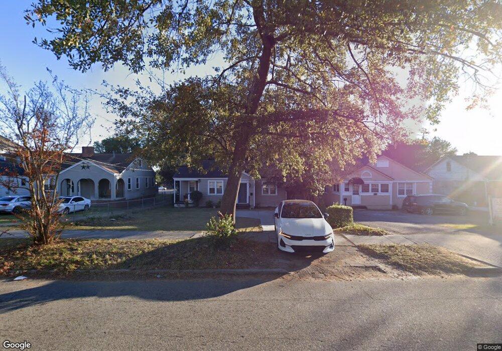
1836 Wrightsboro Rd Augusta, GA 30904
Pendleton King NeighborhoodEstimated Value: $111,000 - $133,000
2
Beds
1
Bath
982
Sq Ft
$125/Sq Ft
Est. Value
About This Home
This home is located at 1836 Wrightsboro Rd, Augusta, GA 30904 and is currently estimated at $122,934, approximately $125 per square foot. 1836 Wrightsboro Rd is a home located in Richmond County with nearby schools including Monte Sano Elementary School, Johnson Magnet, and Tutt Middle School.
Ownership History
Date
Name
Owned For
Owner Type
Purchase Details
Closed on
Sep 24, 2021
Sold by
Burns Thomas
Bought by
Burns Thomas and Burns Shandrika
Current Estimated Value
Purchase Details
Closed on
Oct 27, 2017
Sold by
Adams Emmett P
Bought by
Burns Thomas
Purchase Details
Closed on
Feb 25, 2005
Sold by
Matheny Thomas M
Bought by
Adams Emmett P and Adams Heather H
Home Financials for this Owner
Home Financials are based on the most recent Mortgage that was taken out on this home.
Original Mortgage
$37,350
Interest Rate
5.6%
Mortgage Type
Purchase Money Mortgage
Create a Home Valuation Report for This Property
The Home Valuation Report is an in-depth analysis detailing your home's value as well as a comparison with similar homes in the area
Home Values in the Area
Average Home Value in this Area
Purchase History
| Date | Buyer | Sale Price | Title Company |
|---|---|---|---|
| Burns Thomas | -- | -- | |
| Burns Thomas | $54,000 | -- | |
| Adams Emmett P | $41,500 | -- |
Source: Public Records
Mortgage History
| Date | Status | Borrower | Loan Amount |
|---|---|---|---|
| Previous Owner | Adams Emmett P | $37,350 |
Source: Public Records
Tax History
| Year | Tax Paid | Tax Assessment Tax Assessment Total Assessment is a certain percentage of the fair market value that is determined by local assessors to be the total taxable value of land and additions on the property. | Land | Improvement |
|---|---|---|---|---|
| 2025 | $304 | $45,448 | $5,200 | $40,248 |
| 2024 | $304 | $39,740 | $5,200 | $34,540 |
| 2023 | $240 | $43,292 | $5,200 | $38,092 |
| 2022 | $233 | $26,487 | $5,200 | $21,287 |
| 2021 | $233 | $21,682 | $5,200 | $16,482 |
| 2020 | $233 | $23,055 | $8,000 | $15,055 |
| 2019 | $311 | $23,055 | $8,000 | $15,055 |
| 2018 | $1,082 | $23,055 | $8,000 | $15,055 |
| 2017 | $1,130 | $23,055 | $8,000 | $15,055 |
| 2016 | $1,130 | $23,055 | $8,000 | $15,055 |
| 2015 | $1,136 | $23,055 | $8,000 | $15,055 |
| 2014 | $1,137 | $23,055 | $8,000 | $15,055 |
Source: Public Records
Map
Nearby Homes
- 1823 Wrightsboro Rd
- 1834 Woodrow St
- 1802 Wilson Place
- 1316 Wilson St
- 1315 Murphy St
- 2014 Richmond Ave
- 1740 Verdery St
- 1409 Maddox St
- 1307 Merry St
- 1321 Holden St
- 1729 Verdery St
- 1827 Mcdowell St
- 1819 Mcdowell St
- 1422 Heard Ave
- 1712 Central Ave
- 1718 Verdery St
- 1430 Heard Ave
- 1716 Verdery St
- 1213 Heard Ave
- 1512 Heard Ave
- 1834 Wrightsboro Rd
- 1838 Wrightsboro Rd
- 1832 Wrightsboro Rd
- 1840 Wrightsboro Rd
- 1817 Irvin St
- 1819 Irvin St
- 1821 Irvin St
- 1328 Baker Ave Unit BLDG 2
- 1328 Baker Ave Unit BLDG 1
- 1328 Baker Ave
- 1823 Irvin St
- 1829 Wrightsboro Rd
- 1903 Wrightsboro Rd
- 1827 Wrightsboro Rd
- 1914 Wrightsboro Rd
- 1805 Irvin St
- 1825 Wrightsboro Rd
- 1905 Wrightsboro Rd
- 1327 Baker Ave
- 1803 Irvin St
Your Personal Tour Guide
Ask me questions while you tour the home.