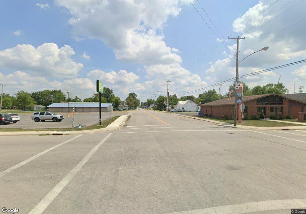
18368 van Wert Paulding Cty Rd Grover Hill, OH 45849
Estimated Value: $158,568 - $271,000
--
Bed
--
Bath
1,574
Sq Ft
$130/Sq Ft
Est. Value
About This Home
This home is located at 18368 van Wert Paulding Cty Rd, Grover Hill, OH 45849 and is currently estimated at $204,142, approximately $129 per square foot. 18368 van Wert Paulding Cty Rd is a home with nearby schools including Lincolnview Elementary School and Lincolnview Junior/Senior High School.
Ownership History
Date
Name
Owned For
Owner Type
Purchase Details
Closed on
Aug 2, 2021
Sold by
Ebel Diann L
Bought by
Miller Luke J
Current Estimated Value
Home Financials for this Owner
Home Financials are based on the most recent Mortgage that was taken out on this home.
Original Mortgage
$120,000
Outstanding Balance
$108,787
Interest Rate
2.7%
Mortgage Type
New Conventional
Estimated Equity
$95,355
Purchase Details
Closed on
Oct 10, 2016
Sold by
Ebel Jeffrey M and Ebel Diann L
Bought by
Ebel Jeffrey M and Ebel Diann L
Create a Home Valuation Report for This Property
The Home Valuation Report is an in-depth analysis detailing your home's value as well as a comparison with similar homes in the area
Home Values in the Area
Average Home Value in this Area
Purchase History
| Date | Buyer | Sale Price | Title Company |
|---|---|---|---|
| Miller Luke J | $130,000 | Tenure Title | |
| Ebel Jeffrey M | -- | None Available |
Source: Public Records
Mortgage History
| Date | Status | Borrower | Loan Amount |
|---|---|---|---|
| Open | Miller Luke J | $120,000 |
Source: Public Records
Tax History Compared to Growth
Tax History
| Year | Tax Paid | Tax Assessment Tax Assessment Total Assessment is a certain percentage of the fair market value that is determined by local assessors to be the total taxable value of land and additions on the property. | Land | Improvement |
|---|---|---|---|---|
| 2024 | $1,130 | $35,960 | $6,920 | $29,040 |
| 2023 | $1,130 | $35,960 | $6,920 | $29,040 |
| 2022 | $1,162 | $27,170 | $5,320 | $21,850 |
| 2021 | $1,148 | $27,170 | $5,320 | $21,850 |
| 2020 | $1,145 | $27,170 | $5,320 | $21,850 |
| 2019 | $954 | $24,410 | $4,410 | $20,000 |
| 2018 | $941 | $24,410 | $4,410 | $20,000 |
| 2017 | $835 | $24,410 | $4,410 | $20,000 |
| 2016 | $733 | $21,710 | $4,410 | $17,300 |
| 2015 | $722 | $21,710 | $4,410 | $17,300 |
| 2014 | $750 | $21,710 | $4,410 | $17,300 |
| 2013 | $901 | $21,710 | $4,410 | $17,300 |
Source: Public Records
Map
Nearby Homes
- 100 N Maple St
- 201 N Main St
- 301 E Wayne St
- 25853 Road M
- 1185 Drury St
- 1131 Sheridan St
- 12238 Blaine St
- 113 Douglas Dr
- 106 Sunset Dr
- 0 Heritage Cir Unit Lot 609 6112034
- 0 Heritage Cir Unit 303239
- 12783 Road 82 Unit 12
- 12783 Road 82 Unit 10
- 12783 Road 82 Unit 8
- 7841 Road 25
- 12282 Union Pleasant Rd
- 106 Jackson St
- 104 Jackson St
- 8848 Boroff Rd
- 113 Superior St
