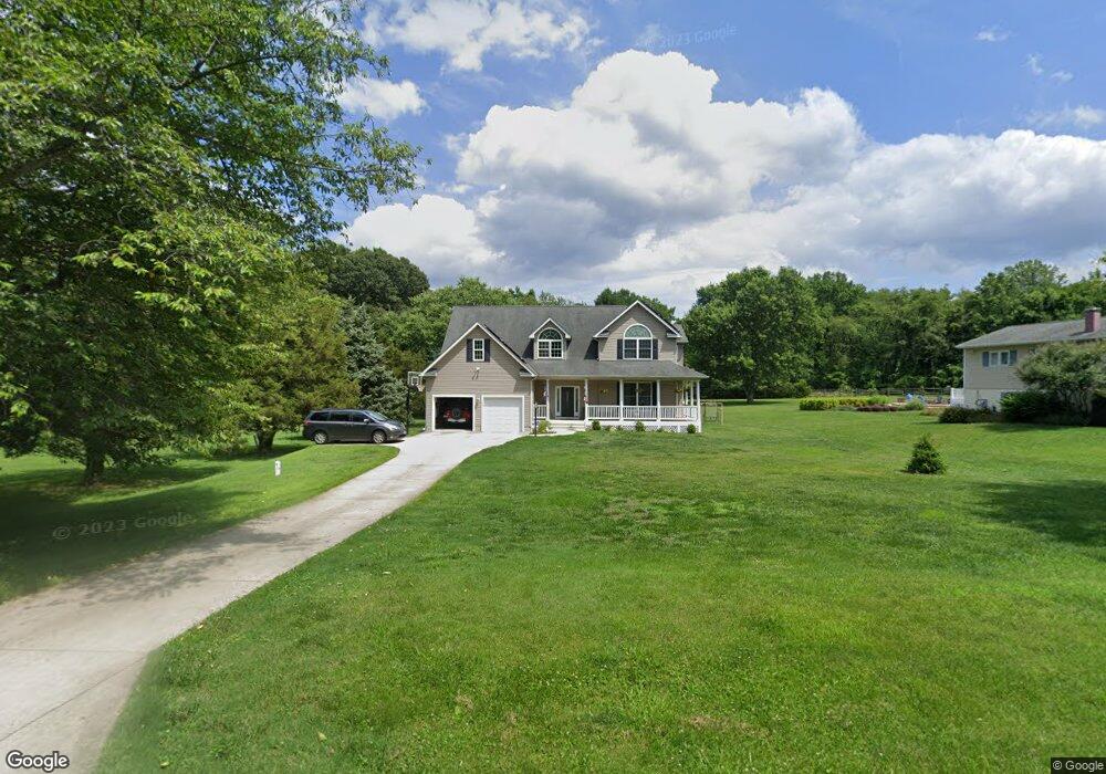
1837 Brett Ct Annapolis, MD 21401
Estimated Value: $590,000 - $635,000
Studio
1
Bath
1,664
Sq Ft
$365/Sq Ft
Est. Value
About This Home
This home is located at 1837 Brett Ct, Annapolis, MD 21401 and is currently estimated at $606,719, approximately $364 per square foot. 1837 Brett Ct is a home located in Anne Arundel County with nearby schools including Rolling Knolls Elementary School, Wiley H. Bates Middle School, and Annapolis High School.
Ownership History
Date
Name
Owned For
Owner Type
Purchase Details
Closed on
Feb 23, 2018
Sold by
Annapolis Post No 304 Veterans Of Foreig
Bought by
State Of Maryland and State Highway Administration Of The Deve
Current Estimated Value
Purchase Details
Closed on
Jan 27, 2012
Sold by
Donaldson Ann Byrd
Bought by
Annapolis Post No 304 Veterans Of Foreig
Purchase Details
Closed on
Dec 22, 1977
Bought by
Donaldson Claude B
Home Financials for this Owner
Home Financials are based on the most recent Mortgage that was taken out on this home.
Original Mortgage
$38,700
Interest Rate
8.95%
Create a Home Valuation Report for This Property
The Home Valuation Report is an in-depth analysis detailing your home's value as well as a comparison with similar homes in the area
Home Values in the Area
Average Home Value in this Area
Purchase History
| Date | Buyer | Sale Price | Title Company |
|---|---|---|---|
| State Of Maryland | -- | None Available | |
| Annapolis Post No 304 Veterans Of Foreig | $530,000 | Brilliant Title Corporation | |
| Donaldson Claude B | $43,000 | -- |
Source: Public Records
Mortgage History
| Date | Status | Borrower | Loan Amount |
|---|---|---|---|
| Previous Owner | Donaldson Claude B | $38,700 |
Source: Public Records
Tax History
| Year | Tax Paid | Tax Assessment Tax Assessment Total Assessment is a certain percentage of the fair market value that is determined by local assessors to be the total taxable value of land and additions on the property. | Land | Improvement |
|---|---|---|---|---|
| 2025 | $464 | $364,667 | -- | -- |
| 2024 | $464 | $339,433 | $0 | $0 |
| 2023 | $440 | $314,200 | $217,000 | $97,200 |
| 2022 | $401 | $312,600 | $0 | $0 |
| 2020 | $358 | $309,400 | $217,000 | $92,400 |
| 2019 | $3,640 | $301,900 | $0 | $0 |
| 2018 | $2,985 | $294,400 | $0 | $0 |
| 2017 | $358 | $286,900 | $0 | $0 |
| 2016 | -- | $271,200 | $0 | $0 |
| 2015 | -- | $255,500 | $0 | $0 |
| 2014 | -- | $239,800 | $0 | $0 |
Source: Public Records
Map
Nearby Homes
- 1868 Lynnfield Dr
- 1002 Covington Way
- 524 Ridge Rd
- 2019 Valley Rd
- 553 Choptank Cove Ct
- 1930 Severn Grove Rd
- 1623 Wyatts Ridge
- 1620 Wyatts Ridge Rd
- 2321 Hickory Rd
- 34 Harbour Heights Dr
- 12 Harbour Heights Dr
- 1486 Downham Market
- 1909 Eleanor Ct
- 633 Admiral Dr Unit 308
- 629 Admiral Dr Unit U206
- 25 Lincoln Pkwy
- 856 St Edmonds Place
- 349 Epping Way
- 623 Admiral Dr Unit 304
- 357 Overlook Trail
- 1839 Brett Ct
- 1835 Brett Ct
- 1841 Brett Ct
- 1838 Brett Ct
- 1836 Brett Ct
- 1840 Brett Ct
- 1848 Generals Hwy
- 1843 Brett Ct
- 1834 Brett Ct
- 1838 Generals Hwy
- 1833 Brett Ct
- 1852 Generals Hwy
- 503 Corbin Pkwy
- 505 Corbin Pkwy
- 1839 Generals Hwy
- 513 Corbin Pkwy
- 1837 Generals Hwy
- 509 Corbin Pkwy
- 515 Corbin Pkwy
- 502 Corbin Pkwy
Your Personal Tour Guide
Ask me questions while you tour the home.