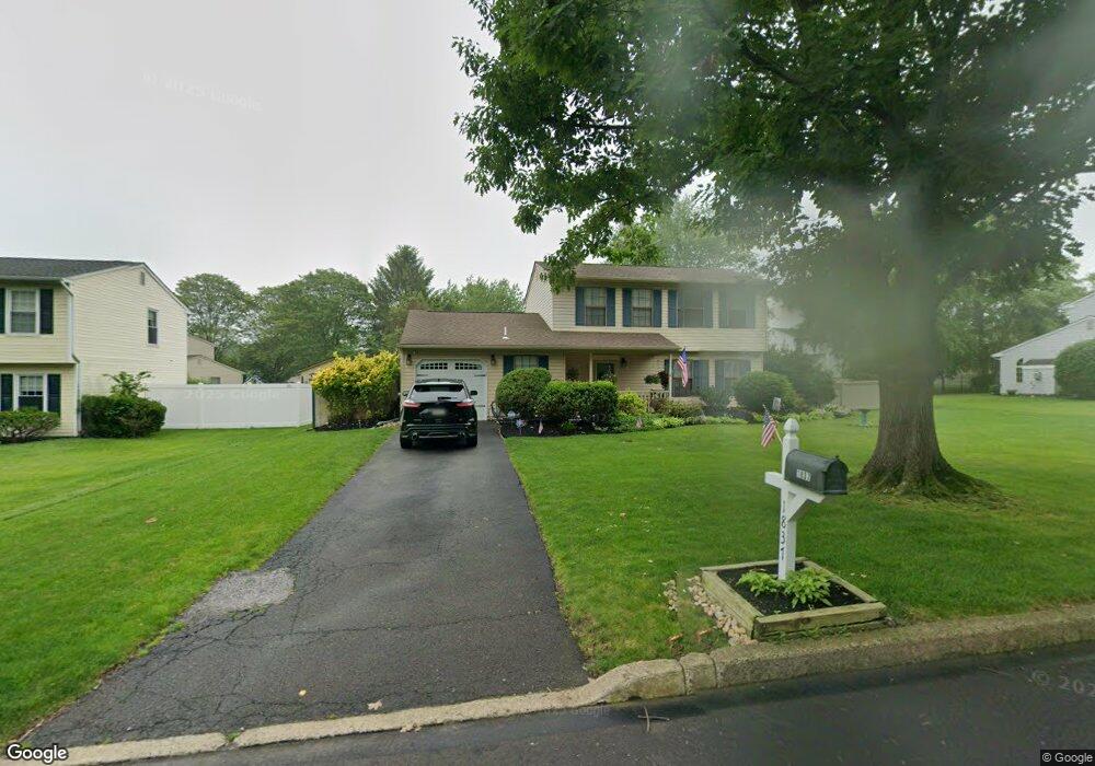
1837 Brook Ln Jamison, PA 18929
Estimated Value: $515,000 - $575,000
3
Beds
3
Baths
1,766
Sq Ft
$311/Sq Ft
Est. Value
About This Home
This home is located at 1837 Brook Ln, Jamison, PA 18929 and is currently estimated at $549,376, approximately $311 per square foot. 1837 Brook Ln is a home located in Bucks County with nearby schools including Jamison Elementary School, Tamanend Middle School, and Central Bucks High School - South.
Ownership History
Date
Name
Owned For
Owner Type
Purchase Details
Closed on
Apr 16, 1998
Sold by
Overington David S and Overington Melonie L
Bought by
Overington David S and Overington Melonie L
Current Estimated Value
Home Financials for this Owner
Home Financials are based on the most recent Mortgage that was taken out on this home.
Original Mortgage
$128,000
Interest Rate
6.7%
Purchase Details
Closed on
Nov 5, 1986
Bought by
Overington David S and Overington Melanie L
Create a Home Valuation Report for This Property
The Home Valuation Report is an in-depth analysis detailing your home's value as well as a comparison with similar homes in the area
Home Values in the Area
Average Home Value in this Area
Purchase History
| Date | Buyer | Sale Price | Title Company |
|---|---|---|---|
| Overington David S | -- | -- | |
| Overington David S | $111,900 | -- |
Source: Public Records
Mortgage History
| Date | Status | Borrower | Loan Amount |
|---|---|---|---|
| Closed | Overington David S | $128,000 |
Source: Public Records
Tax History
| Year | Tax Paid | Tax Assessment Tax Assessment Total Assessment is a certain percentage of the fair market value that is determined by local assessors to be the total taxable value of land and additions on the property. | Land | Improvement |
|---|---|---|---|---|
| 2025 | $5,382 | $30,920 | $7,880 | $23,040 |
| 2024 | $5,382 | $30,920 | $7,880 | $23,040 |
| 2023 | $5,211 | $30,920 | $7,880 | $23,040 |
| 2022 | $5,153 | $30,920 | $7,880 | $23,040 |
| 2021 | $5,096 | $30,920 | $7,880 | $23,040 |
| 2020 | $5,096 | $30,920 | $7,880 | $23,040 |
| 2019 | $5,065 | $30,920 | $7,880 | $23,040 |
| 2018 | $5,065 | $30,920 | $7,880 | $23,040 |
| 2017 | $5,026 | $30,920 | $7,880 | $23,040 |
| 2016 | $5,026 | $30,920 | $7,880 | $23,040 |
| 2015 | -- | $30,920 | $7,880 | $23,040 |
| 2014 | -- | $30,920 | $7,880 | $23,040 |
Source: Public Records
Map
Nearby Homes
- 1868 Sunrise Way
- 1997 Sunrise Way
- 2128 Robin Dr
- 1646 Rockcress Dr
- 1644 Rockcress Dr
- 1621 Yorktown Rd Unit 50
- 2130 Herblew Rd
- 2010 Canterbury Ln
- 2210 Club House Cir
- 0 Stony Rd Unit ROLLINS
- 0 Stony Rd Unit KINGSWOOD
- 0 Stony Rd Unit CLOVERFIELD
- 0 Stony Rd Unit MAYWEATHER
- 519 Grand Blvd Unit 19
- 1990 York Rd
- 1525 Stony Rd Unit RAINTREE
- 1501 Stony Rd
- 1477 Stony Rd Unit RUTLEDGE
- 1477 Stony Rd
- Homesite 10102 Marquis Ln
- 1838 Hawthorne Cir
- 1827 Brook Ln
- 1847 Brook Ln
- 1848 Hawthorne Cir
- 1828 Hawthorne Cir
- 1832 Brook Ln
- 1817 Brook Ln
- 1871 Farmdale Rd
- 1822 Brook Ln
- 1857 Brook Ln
- 1851 Hawthorne Cir
- 1812 Brook Ln
- 1837 Hawthorne Cir
- 1817 Hawthorne Cir
- 1827 Hawthorne Cir
- 1847 Hawthorne Cir
- 1882 Farmdale Rd
- 1872 Farmdale Rd
- 1872 Brook Ln
- 1851 Farmdale Rd
Your Personal Tour Guide
Ask me questions while you tour the home.