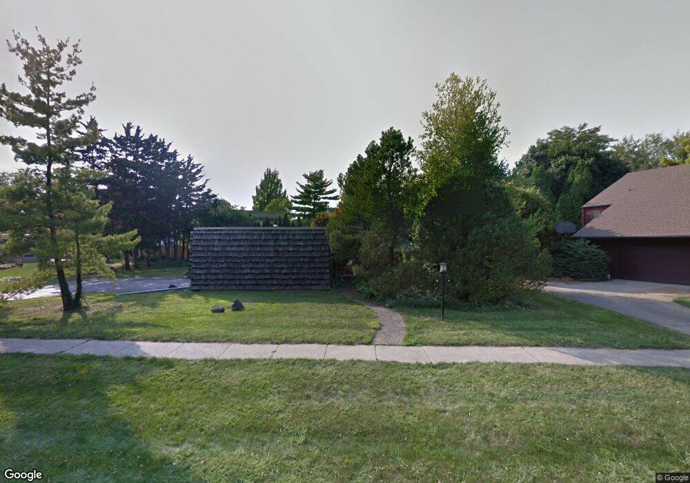
1837 Maynard Dr Champaign, IL 61822
Estimated Value: $227,633 - $374,000
2
Beds
2
Baths
--
Sq Ft
9,714
Sq Ft Lot
About This Home
This home is located at 1837 Maynard Dr, Champaign, IL 61822 and is currently estimated at $288,158. 1837 Maynard Dr is a home located in Champaign County with nearby schools including Centennial High School, Countryside School, and Swann Special Care Center-Elem/Secondary School.
Ownership History
Date
Name
Owned For
Owner Type
Purchase Details
Closed on
Mar 31, 2010
Sold by
Laz June Barber
Bought by
Compratt Sarah E and Compratt Lucinda L
Current Estimated Value
Home Financials for this Owner
Home Financials are based on the most recent Mortgage that was taken out on this home.
Original Mortgage
$131,868
Outstanding Balance
$89,976
Interest Rate
5.5%
Mortgage Type
FHA
Estimated Equity
$198,182
Create a Home Valuation Report for This Property
The Home Valuation Report is an in-depth analysis detailing your home's value as well as a comparison with similar homes in the area
Purchase History
| Date | Buyer | Sale Price | Title Company |
|---|---|---|---|
| Compratt Sarah E | $162,000 | None Available |
Source: Public Records
Mortgage History
| Date | Status | Borrower | Loan Amount |
|---|---|---|---|
| Open | Compratt Sarah E | $131,868 |
Source: Public Records
Tax History
| Year | Tax Paid | Tax Assessment Tax Assessment Total Assessment is a certain percentage of the fair market value that is determined by local assessors to be the total taxable value of land and additions on the property. | Land | Improvement |
|---|---|---|---|---|
| 2024 | $3,093 | $51,880 | $22,540 | $29,340 |
| 2023 | $3,093 | $47,900 | $20,810 | $27,090 |
| 2022 | $2,933 | $44,680 | $19,410 | $25,270 |
| 2021 | $2,814 | $43,890 | $19,070 | $24,820 |
| 2020 | $2,788 | $43,450 | $18,880 | $24,570 |
| 2019 | $2,693 | $42,720 | $18,560 | $24,160 |
| 2018 | $2,624 | $41,810 | $18,560 | $23,250 |
| 2017 | $2,529 | $40,440 | $18,560 | $21,880 |
| 2016 | $2,193 | $39,330 | $18,560 | $20,770 |
| 2015 | $2,291 | $42,930 | $18,560 | $24,370 |
| 2014 | $2,275 | $39,880 | $18,560 | $21,320 |
| 2013 | $2,237 | $39,880 | $18,560 | $21,320 |
Source: Public Records
Map
Nearby Homes
- 1850 Maynard Dr
- 3120 Moraine Dr
- 1914 Woodfield Rd
- 3510 S Duncan Rd
- 1914 Trout Valley Dr
- 1610 Stratford Dr
- 4002 Lakepoint Rd
- 1309 Maplepark Dr
- 2605 Trafalgar Square
- 2704 W Kirby Ave
- 2703 Lawndale Dr
- 2612 W Kirby Ave
- 2205 Edgewater Place
- 7 Briar Hill Cir Unit G
- 2705 Willowpark Dr
- 2504 Hathaway Dr
- 4010 Clubhouse Dr
- 2812 Alton Dr
- 4203 Curtis Meadow Dr
- 2104 Morningview Place
- 1833 Maynard Dr
- 1841 Maynard Dr
- 1820 Coventry Dr
- 1818 Coventry Dr
- 1816 Coventry Dr
- 1829 Maynard Dr
- 1834 Maynard Dr
- 1811 Bridgestone Dr
- 1838 Maynard Dr
- 1814 Coventry Dr
- 1842 Maynard Dr
- 1830 Maynard Dr
- 1846 Maynard Dr
- 1901 Maynard Dr
- 1819 Coventry Dr
- 1817 Coventry Dr
- 1821 Coventry Dr
- 1902 Maynard Dr
- 1815 Coventry Dr
- 1812 Coventry Dr
Your Personal Tour Guide
Ask me questions while you tour the home.