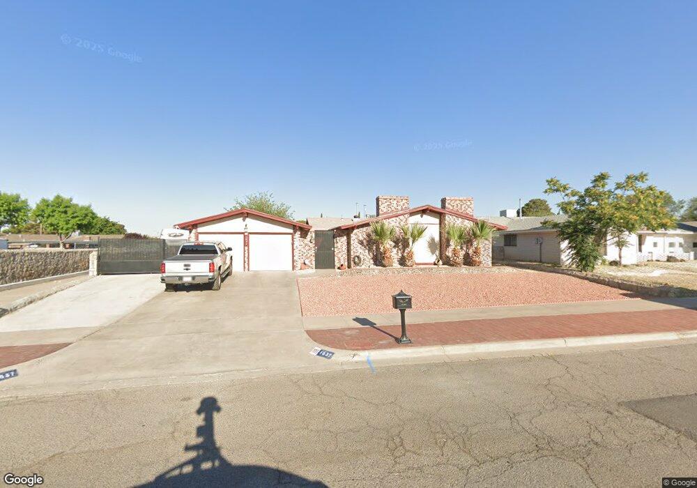
1837 Mike Hill Dr El Paso, TX 79936
Vista Del Sol NeighborhoodEstimated Value: $245,000 - $285,000
3
Beds
2
Baths
1,676
Sq Ft
$153/Sq Ft
Est. Value
About This Home
This home is located at 1837 Mike Hill Dr, El Paso, TX 79936 and is currently estimated at $256,643, approximately $153 per square foot. 1837 Mike Hill Dr is a home located in El Paso County with nearby schools including Tierra Del Sol Elementary School, J M Hanks High School, and EL PASO LEADERSHIP ACADEMY - MIDDLE EAST.
Ownership History
Date
Name
Owned For
Owner Type
Purchase Details
Closed on
Sep 29, 1998
Sold by
Magallanez Anna Lorraine
Bought by
Avalos Beatriz A
Current Estimated Value
Home Financials for this Owner
Home Financials are based on the most recent Mortgage that was taken out on this home.
Original Mortgage
$80,879
Outstanding Balance
$17,738
Interest Rate
6.92%
Mortgage Type
FHA
Estimated Equity
$238,905
Purchase Details
Closed on
Dec 28, 1987
Sold by
Magallanez Robert
Bought by
Magallanez Anna Lorraine
Create a Home Valuation Report for This Property
The Home Valuation Report is an in-depth analysis detailing your home's value as well as a comparison with similar homes in the area
Home Values in the Area
Average Home Value in this Area
Purchase History
| Date | Buyer | Sale Price | Title Company |
|---|---|---|---|
| Avalos Beatriz A | -- | -- | |
| Magallanez Anna Lorraine | -- | -- |
Source: Public Records
Mortgage History
| Date | Status | Borrower | Loan Amount |
|---|---|---|---|
| Open | Avalos Beatriz A | $80,879 |
Source: Public Records
Tax History Compared to Growth
Tax History
| Year | Tax Paid | Tax Assessment Tax Assessment Total Assessment is a certain percentage of the fair market value that is determined by local assessors to be the total taxable value of land and additions on the property. | Land | Improvement |
|---|---|---|---|---|
| 2025 | $4,067 | $236,247 | -- | -- |
| 2024 | $4,067 | $214,770 | -- | -- |
| 2023 | $4,067 | $195,245 | $0 | $0 |
| 2022 | $5,512 | $177,495 | $0 | $0 |
| 2021 | $5,245 | $161,359 | $31,946 | $129,413 |
| 2020 | $4,988 | $157,930 | $28,997 | $128,933 |
| 2018 | $4,763 | $153,158 | $28,997 | $124,161 |
| 2017 | $4,403 | $144,042 | $28,997 | $115,045 |
| 2016 | $4,012 | $131,259 | $28,997 | $102,262 |
| 2015 | $3,185 | $131,259 | $28,997 | $102,262 |
| 2014 | $3,185 | $133,108 | $28,997 | $104,111 |
Source: Public Records
Map
Nearby Homes
- 1817 Hugh Royer Place
- 1868 Tom Bolt Dr
- 1901 Bobby Jones Dr
- 2001 Bobby Jones Dr Unit A
- 1913 Seagull Dr
- 2009 Bobby Jones Dr Unit B
- 11016 Bob Stone Dr
- 11012 Bob Stone Dr
- 11013 Bob Stone Dr
- 1804 Jerry Abbott St
- 1739 Jerry Abbott St
- 11204 Bob Mitchell Dr
- 1844 Jack Nicklaus Dr Unit 1846
- 2604 Anise Dr
- 1703 Robert Wynn St
- 11157 Leo Collins Dr
- 2308 Tom Watson Ct
- 11008 Johnny Miller Dr
- 1617 Tommy Aaron Dr
- 1700 Jerry Abbott St
- 1841 Mike Hill Dr
- 1841 Mike Hill Dr Unit 1
- 1833 Mike Hill Dr
- 1832 Pete Brown Dr
- 1836 Pete Brown Dr
- 1845 Mike Hill Dr
- 1828 Pete Brown Place
- 1828 Pete Brown Dr
- 1836 Mike Hill Dr
- 1840 Pete Brown Dr
- 1831 Mike Hill Dr
- 1840 Mike Hill Dr
- 1832 Mike Hill Dr
- 1824 Pete Brown Dr
- 1849 Mike Hill Dr
- 1844 Pete Brown Dr
- 1844 Mike Hill Dr
- 1827 Mike Hill Dr
- 1820 Pete Brown Dr
- 1828 Mike Hill Dr