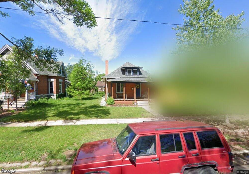
1837 S Logan St Denver, CO 80210
Platt Park NeighborhoodEstimated Value: $758,000 - $963,374
2
Beds
1
Bath
1,312
Sq Ft
$649/Sq Ft
Est. Value
About This Home
This home is located at 1837 S Logan St, Denver, CO 80210 and is currently estimated at $851,594, approximately $649 per square foot. 1837 S Logan St is a home located in Denver County with nearby schools including Asbury Elementary School, Grant Beacon Middle School, and South High School.
Ownership History
Date
Name
Owned For
Owner Type
Purchase Details
Closed on
Aug 26, 2014
Sold by
Humphryes Dan K and Humphryes Wendi M
Bought by
Buttrill Timothy and Buttrill Crystal
Current Estimated Value
Home Financials for this Owner
Home Financials are based on the most recent Mortgage that was taken out on this home.
Original Mortgage
$287,200
Outstanding Balance
$220,114
Interest Rate
4.17%
Mortgage Type
New Conventional
Estimated Equity
$631,480
Create a Home Valuation Report for This Property
The Home Valuation Report is an in-depth analysis detailing your home's value as well as a comparison with similar homes in the area
Home Values in the Area
Average Home Value in this Area
Purchase History
| Date | Buyer | Sale Price | Title Company |
|---|---|---|---|
| Buttrill Timothy | $359,000 | Fidelity National Title Ins |
Source: Public Records
Mortgage History
| Date | Status | Borrower | Loan Amount |
|---|---|---|---|
| Open | Buttrill Timothy | $287,200 |
Source: Public Records
Tax History Compared to Growth
Tax History
| Year | Tax Paid | Tax Assessment Tax Assessment Total Assessment is a certain percentage of the fair market value that is determined by local assessors to be the total taxable value of land and additions on the property. | Land | Improvement |
|---|---|---|---|---|
| 2024 | $5,212 | $65,800 | $41,140 | $24,660 |
| 2023 | $5,099 | $65,800 | $41,140 | $24,660 |
| 2022 | $4,423 | $55,620 | $38,750 | $16,870 |
| 2021 | $2,980 | $39,930 | $39,860 | $70 |
| 2020 | $2,834 | $38,200 | $31,890 | $6,310 |
| 2019 | $2,755 | $38,200 | $31,890 | $6,310 |
| 2018 | $2,189 | $28,290 | $27,090 | $1,200 |
| 2017 | $2,182 | $28,290 | $27,090 | $1,200 |
| 2016 | $2,178 | $26,710 | $26,626 | $84 |
| 2015 | $2,087 | $26,710 | $26,626 | $84 |
| 2014 | $1,600 | $19,260 | $13,819 | $5,441 |
Source: Public Records
Map
Nearby Homes
- 1960 S Sherman St
- 1881 S Lincoln St
- 1992 S Grant St
- 1650 S Pennsylvania St
- 1928 S Washington St
- 2034 S Lincoln St
- 2078 S Pennsylvania St
- 1899 S Acoma St
- 2082 S Lincoln St
- 1898 S Bannock St Unit 512
- 1518 S Sherman St
- 2137 S Washington St
- 2174 S Sherman St Unit 2176
- 2140 S Washington St
- 2194 S Sherman St
- 2175 S Clarkson St
- 2122 S Cherokee St
- 2118 S Bannock St Unit 4
- 1784 S Downing St
- 2111 S Cherokee St
- 1847 S Logan St
- 1833 S Logan St
- 1855 S Logan St
- 1836 S Logan St
- 1850 S Logan St
- 1824 S Grant St
- 1848 S Grant St
- 1860 S Logan St
- 1873 S Logan St
- 1854 S Grant St
- 1822 S Logan St
- 1824 S Logan St
- 1820 S Grant St
- 1866 S Logan St
- 1866 S Logan St
- 1812 S Logan St
- 1814 S Grant St
- 1866 S Grant St
- 1881 S Logan St
- 1868 S Logan St