1837 S Nugent Rd Lummi Island, WA 98262
Estimated Value: $816,000 - $1,171,000
2
Beds
2
Baths
2,457
Sq Ft
$427/Sq Ft
Est. Value
About This Home
This home is located at 1837 S Nugent Rd, Lummi Island, WA 98262 and is currently estimated at $1,048,429, approximately $426 per square foot. 1837 S Nugent Rd is a home located in Whatcom County with nearby schools including Beach Elementary School, Vista Middle School, and Ferndale High School.
Ownership History
Date
Name
Owned For
Owner Type
Purchase Details
Closed on
Jan 13, 2023
Sold by
Morse Robert
Bought by
Morse Marilyn Jill
Current Estimated Value
Purchase Details
Closed on
Nov 26, 2018
Sold by
Morse Robert
Bought by
Morse Robert
Create a Home Valuation Report for This Property
The Home Valuation Report is an in-depth analysis detailing your home's value as well as a comparison with similar homes in the area
Home Values in the Area
Average Home Value in this Area
Purchase History
| Date | Buyer | Sale Price | Title Company |
|---|---|---|---|
| Morse Marilyn Jill | -- | -- | |
| Morse Robert | -- | None Available |
Source: Public Records
Tax History Compared to Growth
Tax History
| Year | Tax Paid | Tax Assessment Tax Assessment Total Assessment is a certain percentage of the fair market value that is determined by local assessors to be the total taxable value of land and additions on the property. | Land | Improvement |
|---|---|---|---|---|
| 2024 | $7,583 | $1,029,791 | $392,169 | $637,622 |
| 2023 | $7,583 | $1,006,639 | $383,352 | $623,287 |
| 2022 | $5,806 | $675,607 | $257,287 | $418,320 |
| 2021 | $5,157 | $587,484 | $223,728 | $363,756 |
| 2020 | $5,672 | $497,868 | $189,600 | $308,268 |
| 2019 | $4,689 | $497,868 | $189,600 | $308,268 |
| 2018 | $6,113 | $475,013 | $154,636 | $320,377 |
| 2017 | $5,000 | $475,013 | $154,636 | $320,377 |
| 2016 | $4,885 | $408,011 | $132,824 | $275,187 |
| 2015 | $4,808 | $393,905 | $128,232 | $265,673 |
| 2014 | -- | $383,326 | $124,788 | $258,538 |
| 2013 | -- | $192,797 | $114,800 | $77,997 |
Source: Public Records
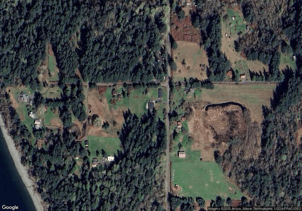
Map
Nearby Homes
- 16 xx S Nugent Rd
- 2093 Granger Way
- 3965 Legoe Bay Rd
- 4065 Sunny Hill Ln
- 2589 Lummi View Dr
- 2560 Lummi View Dr
- 2552 Lummi View Dr
- 2579 Finkbonner Rd
- 3456 Emma Rd
- 3440 Emma Rd
- 3093 Mt Vista Dr
- 2625 Lummi View Dr
- 3075 Hales Passage Dr Unit Lot 4
- 3071 Hales Passage Dr
- 2383 W Shore Dr
- 2395 W Shore Dr
- 0 Seacrest Dr
- 1286 Island Dr
- 0 Taft Dr
- 2533 Island View Ln
- 1825 S Nugent Rd
- 3722 Constitution Ave
- 1842 S Nugent Rd
- 3731 Constitution Rd
- 3720 Constitution Rd
- 3720 Constitution Rd
- 3836 Constitution Rd
- 1799 S Nugent Rd
- 3 Constitution Rd
- 3640 Constitution Ave
- 11 &12 Second Ave
- 3787 Constitution Ave
- 3811 Constitution Ave
- 1778 Joans Ln
- 1901 S Nugent Rd
- 1764 Joans Ln
- 3731 Cedrus Ln
- 3787 Constitution Rd
- 1787 Joans Ln
- 3634 Constitution Ave