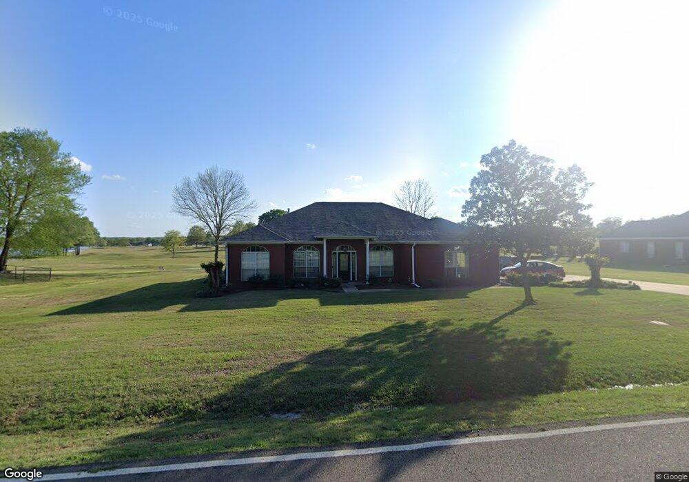
1837 Taylor Thurston Rd Columbus, MS 39701
Estimated Value: $288,000 - $331,000
Studio
--
Bath
2,484
Sq Ft
$123/Sq Ft
Est. Value
About This Home
This home is located at 1837 Taylor Thurston Rd, Columbus, MS 39701 and is currently estimated at $304,796, approximately $122 per square foot. 1837 Taylor Thurston Rd is a home.
Ownership History
Date
Name
Owned For
Owner Type
Purchase Details
Closed on
Apr 24, 2019
Sold by
Veterans Home Purchase
Bought by
James Danny T and James Kristie L
Current Estimated Value
Home Financials for this Owner
Home Financials are based on the most recent Mortgage that was taken out on this home.
Original Mortgage
$120,000
Outstanding Balance
$76,645
Interest Rate
4%
Mortgage Type
New Conventional
Estimated Equity
$228,151
Purchase Details
Closed on
May 1, 2006
Sold by
Horning Mark E and Horning Eleanor
Bought by
Ashteyani Abolghasem and Ashteyani Lyndia
Home Financials for this Owner
Home Financials are based on the most recent Mortgage that was taken out on this home.
Original Mortgage
$203,000
Interest Rate
6.33%
Create a Home Valuation Report for This Property
The Home Valuation Report is an in-depth analysis detailing your home's value as well as a comparison with similar homes in the area
Purchase History
| Date | Buyer | Sale Price | Title Company |
|---|---|---|---|
| James Danny T | -- | -- | |
| Ashteyani Abolghasem | -- | -- |
Source: Public Records
Mortgage History
| Date | Status | Borrower | Loan Amount |
|---|---|---|---|
| Open | James Danny T | $120,000 | |
| Previous Owner | Ashteyani Abolghasem | $199,500 | |
| Previous Owner | Ashteyani Abolghasem | $203,000 |
Source: Public Records
Tax History
| Year | Tax Paid | Tax Assessment Tax Assessment Total Assessment is a certain percentage of the fair market value that is determined by local assessors to be the total taxable value of land and additions on the property. | Land | Improvement |
|---|---|---|---|---|
| 2025 | $1,542 | $19,155 | $0 | $0 |
| 2024 | $1,527 | $19,155 | $0 | $0 |
| 2023 | $1,308 | $16,930 | $0 | $0 |
| 2022 | $1,309 | $16,930 | $0 | $0 |
| 2021 | $1,249 | $16,930 | $0 | $0 |
| 2020 | $1,162 | $16,930 | $0 | $0 |
| 2019 | $1,206 | $25,275 | $0 | $0 |
| 2018 | $1,206 | $16,912 | $0 | $0 |
| 2017 | $1,139 | $16,912 | $0 | $0 |
| 2016 | $1,139 | $16,912 | $0 | $0 |
| 2015 | $1,176 | $17,349 | $0 | $0 |
| 2014 | $1,176 | $17,349 | $0 | $0 |
Source: Public Records
Map
Nearby Homes
- 150 Stoneridge Walk
- 49 Billy Casper Dr
- 4132 N Frontage Rd
- 320 Crosby Ln
- 118 Crosby Ln
- 1291 S Frontage Rd
- 23 Breezeway Cove
- 100 Breezeway Cove
- 112 Breezeway Cove
- 96 Breezeway Cove
- 110 Breezeway Cove
- 820 Prairie Waters Dr
- 0 Golden Horn Rd
- 418 W Plymouth Rd
- 0 S Frontage Road Lot #5 Unit 25-583
- 0 S Frontage Road Lot #3 Unit 25-581
- 0 S Frontage Road Lot #1 Unit 25-579
- 3267 Old West Point Rd
- 1381 S Frontage Rd
- 2 S Frontage Rd
- 1801 Taylor Thurston Rd
- 1865 Taylor Thurston Rd
- 1824 Taylor Thurston Rd
- 1790 Taylor Thurston Rd
- 1893 Taylor Thurston Rd
- 1781 Taylor Thurston Rd
- 1882 Taylor Thurston Rd
- 1925 Taylor Thurston Rd
- 1751 Taylor Thurston Rd
- 1750 Taylor Thurston Rd
- 1717 Taylor Thurston Rd
- 1979 Taylor Thurston Rd
- 1708 Taylor Thurston Rd
- 159 Elm Dr
- 1968 Taylor Thurston Rd
- 1991 Taylor Thurston Rd
- 142 Elm Dr
- 183 Elm Dr
- 1652 Taylor Thurston Rd
- 2035 Taylor Thurston Rd
Your Personal Tour Guide
Ask me questions while you tour the home.