1838 State Route 131 Milford, OH 45150
Estimated Value: $324,000 - $432,782
4
Beds
3
Baths
2,384
Sq Ft
$162/Sq Ft
Est. Value
About This Home
This home is located at 1838 State Route 131, Milford, OH 45150 and is currently estimated at $385,946, approximately $161 per square foot. 1838 State Route 131 is a home located in Clermont County with nearby schools including Milford Senior High School, St. Mark's Lutheran School, and St. Andrew - St. Elizabeth Ann Seton School.
Ownership History
Date
Name
Owned For
Owner Type
Purchase Details
Closed on
Mar 2, 2016
Sold by
Woods Edward R and Woods Carla R
Bought by
Woods Edward R and Edward R Woods Family Living Trust
Current Estimated Value
Purchase Details
Closed on
Apr 2, 1999
Sold by
Trst Shirley Trester
Bought by
Woods Edward R and Woods Carla R
Home Financials for this Owner
Home Financials are based on the most recent Mortgage that was taken out on this home.
Original Mortgage
$198,000
Interest Rate
6.89%
Mortgage Type
New Conventional
Purchase Details
Closed on
May 20, 1998
Sold by
Denier Phillip D
Bought by
Trester Shirley F
Create a Home Valuation Report for This Property
The Home Valuation Report is an in-depth analysis detailing your home's value as well as a comparison with similar homes in the area
Home Values in the Area
Average Home Value in this Area
Purchase History
| Date | Buyer | Sale Price | Title Company |
|---|---|---|---|
| Woods Edward R | $125 | Attorney | |
| Woods Edward R | $20,000 | -- | |
| Trester Shirley F | $20,000 | -- |
Source: Public Records
Mortgage History
| Date | Status | Borrower | Loan Amount |
|---|---|---|---|
| Closed | Woods Edward R | $198,000 |
Source: Public Records
Tax History Compared to Growth
Tax History
| Year | Tax Paid | Tax Assessment Tax Assessment Total Assessment is a certain percentage of the fair market value that is determined by local assessors to be the total taxable value of land and additions on the property. | Land | Improvement |
|---|---|---|---|---|
| 2024 | $3,521 | $89,460 | $23,240 | $66,220 |
| 2023 | $3,524 | $89,460 | $23,240 | $66,220 |
| 2022 | $3,136 | $73,680 | $18,970 | $54,710 |
| 2021 | $2,954 | $73,680 | $18,970 | $54,710 |
| 2020 | $2,951 | $73,680 | $18,970 | $54,710 |
| 2019 | $3,377 | $82,920 | $22,610 | $60,310 |
| 2018 | $3,377 | $82,920 | $22,610 | $60,310 |
| 2017 | $3,379 | $82,920 | $22,610 | $60,310 |
| 2016 | $2,904 | $67,420 | $18,380 | $49,040 |
| 2015 | $2,570 | $67,420 | $18,380 | $49,040 |
| 2014 | $2,570 | $67,420 | $18,380 | $49,040 |
| 2013 | $2,526 | $63,500 | $19,430 | $44,070 |
Source: Public Records
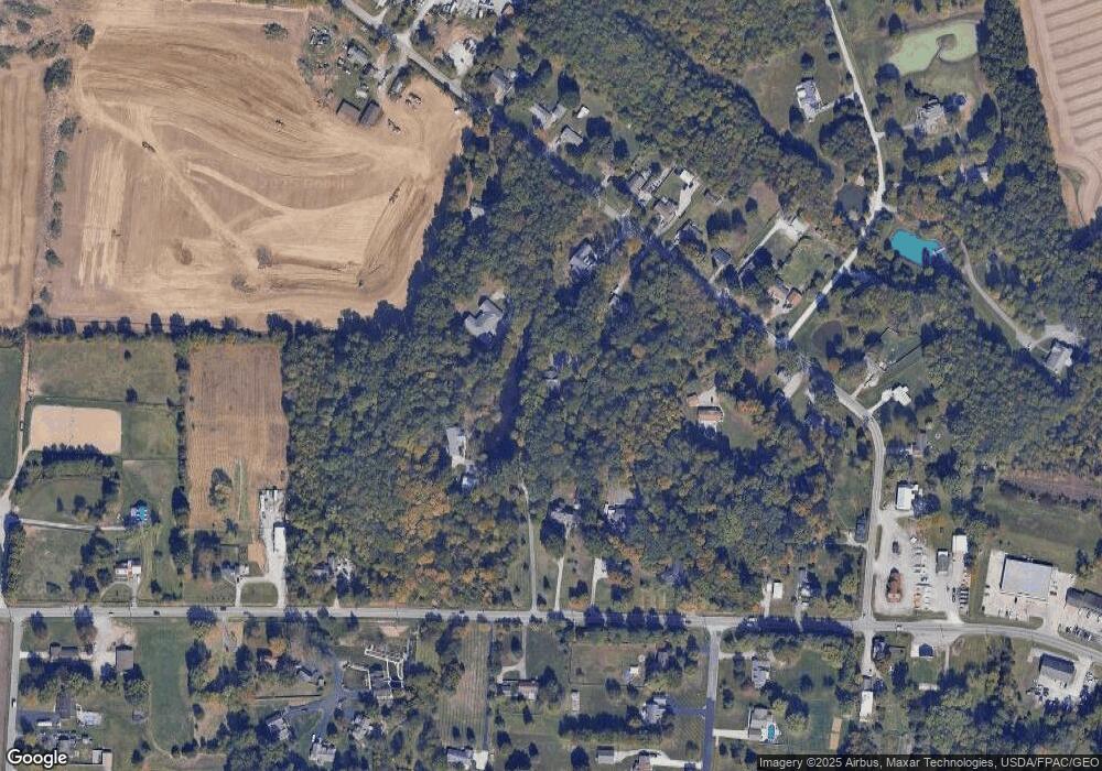
Map
Nearby Homes
- 1847 Ohio 131
- 1860 Grove Park Dr
- Hampton Plan at Grove Park
- Cooke Plan at Grove Park
- Windsor II Plan at Grove Park
- Barrett Plan at Grove Park
- Morrison Plan at Grove Park
- Serenity Plan at Grove Park
- Nicholas Plan at Grove Park
- 1897 Grove Park Dr
- Ellison Plan at Grove Park
- Fairview Plan at Grove Park
- Inglewood Plan at Grove Park
- Dillon Plan at Grove Park
- Dawson Plan at Grove Park
- Faulkner Plan at Grove Park
- Cheswicke Plan at Grove Park
- Ainsley II Plan at Grove Park
- Clayton Plan at Grove Park
- Wallace Plan at Grove Park
- 5767 Deerfield Rd
- 5761 Deerfield Rd
- 5765 Deerfield Rd
- 1836 State Route 131
- 1840 State Route 131
- 1848 State Route 131
- 1848 St Rt 131
- 5771 Deerfield Rd
- 5758 Deerfield Rd
- 5760 Deerfield Rd
- 5757 Deerfield Rd
- 5762 Deerfield Rd
- 5764 Deerfield Rd
- 1850 State Route 131
- 5766 Deerfield Rd
- 5756 Deerfield Rd
- 5768 Deerfield Rd
- 5753 Deerfield Rd
- 5754 Deerfield Rd
- 5770 Deerfield Rd