1838 State Route 35 Unit 15 Wall Township, NJ 07719
Estimated Value: $454,122 - $463,000
2
Beds
2
Baths
1,012
Sq Ft
$454/Sq Ft
Est. Value
About This Home
This home is located at 1838 State Route 35 Unit 15, Wall Township, NJ 07719 and is currently estimated at $459,031, approximately $453 per square foot. 1838 State Route 35 Unit 15 is a home located in Monmouth County with nearby schools including Wall High School and The Brookside School.
Ownership History
Date
Name
Owned For
Owner Type
Purchase Details
Closed on
Aug 6, 2025
Sold by
Lyon Glenda J
Bought by
Vines Edward J and Vines Marilyn R
Current Estimated Value
Home Financials for this Owner
Home Financials are based on the most recent Mortgage that was taken out on this home.
Original Mortgage
$261,060
Outstanding Balance
$260,832
Interest Rate
6.67%
Mortgage Type
New Conventional
Estimated Equity
$198,199
Purchase Details
Closed on
Aug 13, 2010
Sold by
Miller Teresa R
Bought by
Prudential Relocation Inc
Purchase Details
Closed on
Aug 13, 2009
Sold by
Prudential Relocation Inc
Bought by
Lyon Glenda
Purchase Details
Closed on
Oct 15, 2003
Sold by
Charles Graham V
Bought by
Gannon James and Gannon Lynore
Create a Home Valuation Report for This Property
The Home Valuation Report is an in-depth analysis detailing your home's value as well as a comparison with similar homes in the area
Home Values in the Area
Average Home Value in this Area
Purchase History
| Date | Buyer | Sale Price | Title Company |
|---|---|---|---|
| Vines Edward J | $458,000 | Rms Title Services | |
| Prudential Relocation Inc | $247,000 | None Available | |
| Lyon Glenda | $247,000 | Associated Title Agency | |
| Gannon James | $243,000 | -- |
Source: Public Records
Mortgage History
| Date | Status | Borrower | Loan Amount |
|---|---|---|---|
| Open | Vines Edward J | $261,060 |
Source: Public Records
Tax History Compared to Growth
Tax History
| Year | Tax Paid | Tax Assessment Tax Assessment Total Assessment is a certain percentage of the fair market value that is determined by local assessors to be the total taxable value of land and additions on the property. | Land | Improvement |
|---|---|---|---|---|
| 2025 | $5,462 | $255,000 | $136,600 | $118,400 |
| 2024 | $5,327 | $255,000 | $136,600 | $118,400 |
| 2023 | $5,327 | $255,000 | $136,600 | $118,400 |
| 2022 | $5,161 | $255,000 | $136,600 | $118,400 |
| 2021 | $5,161 | $255,000 | $136,600 | $118,400 |
| 2020 | $5,095 | $255,000 | $136,600 | $118,400 |
| 2019 | $5,036 | $255,000 | $136,600 | $118,400 |
| 2018 | $4,980 | $255,000 | $136,600 | $118,400 |
| 2017 | $4,881 | $255,000 | $136,600 | $118,400 |
| 2016 | $4,761 | $255,000 | $136,600 | $118,400 |
| 2015 | $4,251 | $142,800 | $73,000 | $69,800 |
| 2014 | $3,969 | $136,500 | $66,700 | $69,800 |
Source: Public Records
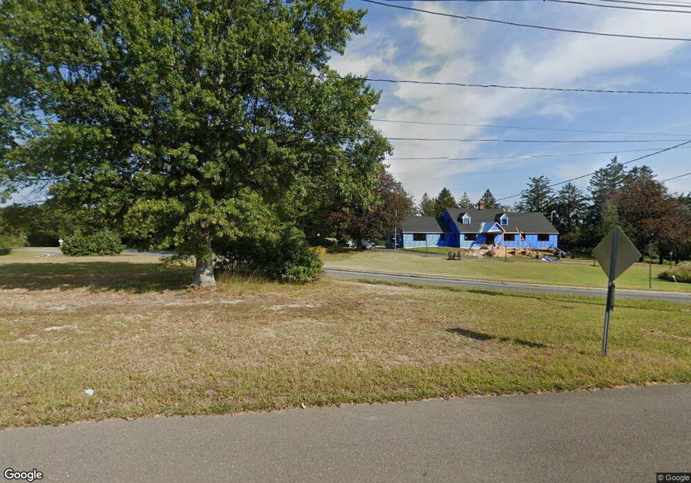
Map
Nearby Homes
- 1838 Highway 35 Unit 36
- 2419 Kipling Ave
- 1820 New Jersey 35 Unit 34
- 1820 New Jersey 35 Unit Home Site 26
- 24 Old Mill Ct
- 905 Wall Rd
- 1211 18th Ave
- 2217 Old Mill Rd
- 1704 Grove St
- 1027 2nd Ave
- 19 Willow Ln
- 1331 New Jersey 138
- 12 Wyckham Rd
- 15 Wyckham Rd
- 1826 New Bedford Rd
- 2005 Nassau Dr
- 1301 Warren Ave Unit 5
- 1014 Glenn St
- 1024 17th Ave
- 1012 Glenn St
- 1838 State Route 35 Unit 2
- 1838 State Route 35 Unit 29
- 1838 State Route 35 Unit 4
- 1838 State Route 35 Unit 70
- 1838 State Route 35 Unit 34
- 1838 State Route 35 Unit 96
- 1838 State Route 35 Unit 28
- 1838 State Route 35 Unit 90
- 1838 State Route 35 Unit 92
- 1838 State Route 35 Unit 73
- 1838 State Route 35 Unit 8
- 1838 State Route 35 Unit 50
- 1838 State Route 35 Unit 25
- 1838 State Route 35 Unit 79
- 1838 State Route 35 Unit 24
- 1838 State Route 35 Unit 14
- 1838 State Route 35 Unit 21
- 1838 State Route 35
- 1838 State Route 35 Unit 31
- 1838 State Route 35 Unit 81