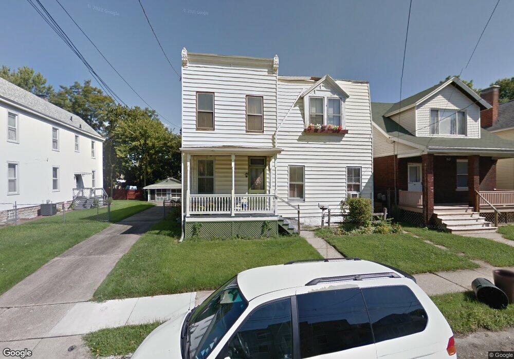
1838 Tilden Ave Cincinnati, OH 45212
Estimated Value: $174,746 - $243,000
2
Beds
2
Baths
1,702
Sq Ft
$128/Sq Ft
Est. Value
About This Home
This home is located at 1838 Tilden Ave, Cincinnati, OH 45212 and is currently estimated at $218,187, approximately $128 per square foot. 1838 Tilden Ave is a home located in Hamilton County with nearby schools including Norwood High School, Cornerstone Christian Academy, and Immaculate Conception Academy.
Ownership History
Date
Name
Owned For
Owner Type
Purchase Details
Closed on
Jun 29, 2021
Sold by
Galloway Sean
Bought by
Manek Pavan Tushar
Current Estimated Value
Purchase Details
Closed on
Jan 3, 2020
Sold by
Rafales Michael
Bought by
Galloway Sean
Purchase Details
Closed on
Jul 2, 2018
Sold by
Tilford John F and Tilford Pamela S
Bought by
Rafales Michael
Create a Home Valuation Report for This Property
The Home Valuation Report is an in-depth analysis detailing your home's value as well as a comparison with similar homes in the area
Home Values in the Area
Average Home Value in this Area
Purchase History
| Date | Buyer | Sale Price | Title Company |
|---|---|---|---|
| Manek Pavan Tushar | $123,000 | None Available | |
| Galloway Sean | $31,000 | Absolute Title Agency Llc | |
| Rafales Michael | $10,000 | None Available |
Source: Public Records
Tax History Compared to Growth
Tax History
| Year | Tax Paid | Tax Assessment Tax Assessment Total Assessment is a certain percentage of the fair market value that is determined by local assessors to be the total taxable value of land and additions on the property. | Land | Improvement |
|---|---|---|---|---|
| 2024 | $2,360 | $44,181 | $10,220 | $33,961 |
| 2023 | $2,373 | $44,181 | $10,220 | $33,961 |
| 2022 | $815 | $12,639 | $6,864 | $5,775 |
| 2021 | $957 | $10,851 | $6,864 | $3,987 |
| 2020 | $1,182 | $10,851 | $6,864 | $3,987 |
| 2019 | $1,574 | $24,262 | $6,020 | $18,242 |
| 2018 | $1,576 | $24,262 | $6,020 | $18,242 |
| 2017 | $1,490 | $24,262 | $6,020 | $18,242 |
| 2016 | $1,814 | $28,599 | $5,660 | $22,939 |
| 2015 | $1,614 | $28,599 | $5,660 | $22,939 |
| 2014 | $1,613 | $28,599 | $5,660 | $22,939 |
| 2013 | $1,698 | $30,422 | $6,020 | $24,402 |
Source: Public Records
Map
Nearby Homes
- 1915 Maple Ave
- 1835 Sherman Ave
- 1817 Sherman Ave
- 1937 Maple Ave
- 1901 Sherman Ave
- 1944 Maple Ave
- 4639 Carter Ave
- 4719 Section Ave
- 1841 Mills Ave
- 4627 Mcneil Ave
- 2012 Lawrence Ave
- 2005 Crown Ave
- 1810 Lincoln Ave
- 1701 Sherman Ave
- 1803 Courtland Ave
- 4635 Baker St
- 1833 Hopkins Ave
- 4205 Lowry Ave
- 5116 Warren Ave
- 4402 Lafayette Ave