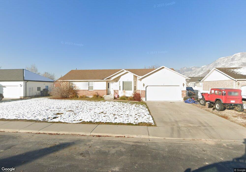
1838 W 870 N Pleasant Grove, UT 84062
Estimated Value: $602,000 - $682,000
6
Beds
3
Baths
3,328
Sq Ft
$193/Sq Ft
Est. Value
About This Home
This home is located at 1838 W 870 N, Pleasant Grove, UT 84062 and is currently estimated at $643,445, approximately $193 per square foot. 1838 W 870 N is a home located in Utah County with nearby schools including Mount Mahogany School, Pleasant Grove Junior High School, and Pleasant Grove High School.
Ownership History
Date
Name
Owned For
Owner Type
Purchase Details
Closed on
Nov 30, 2017
Sold by
Skyline Holdings Group Llc
Bought by
Yau Kit Yuk and Mak Siu Wai Steve
Current Estimated Value
Purchase Details
Closed on
Apr 25, 2011
Sold by
Wilkerson David Hoyt
Bought by
Wilkerson Joseph R and Wilkerson Jolyne
Purchase Details
Closed on
Aug 30, 2010
Sold by
Wilkerson David Hoyt
Bought by
Wilkerson Joseph Reed and Wilkerson David Hoyt
Create a Home Valuation Report for This Property
The Home Valuation Report is an in-depth analysis detailing your home's value as well as a comparison with similar homes in the area
Home Values in the Area
Average Home Value in this Area
Purchase History
| Date | Buyer | Sale Price | Title Company |
|---|---|---|---|
| Yau Kit Yuk | -- | Select Title Ins Agency Inc | |
| Wilkerson Joseph R | -- | None Available | |
| Wilkerson Joseph Reed | -- | None Available |
Source: Public Records
Tax History Compared to Growth
Tax History
| Year | Tax Paid | Tax Assessment Tax Assessment Total Assessment is a certain percentage of the fair market value that is determined by local assessors to be the total taxable value of land and additions on the property. | Land | Improvement |
|---|---|---|---|---|
| 2025 | $2,369 | $317,790 | $192,600 | $385,200 |
| 2024 | $2,369 | $289,245 | $0 | $0 |
| 2023 | $2,365 | $288,970 | $0 | $0 |
| 2022 | $2,548 | $309,760 | $0 | $0 |
| 2021 | $2,282 | $422,400 | $129,000 | $293,400 |
| 2020 | $2,091 | $379,500 | $115,200 | $264,300 |
| 2019 | $2,004 | $376,000 | $111,700 | $264,300 |
| 2018 | $1,885 | $334,500 | $104,700 | $229,800 |
| 2017 | $1,609 | $152,020 | $0 | $0 |
| 2016 | $1,537 | $140,195 | $0 | $0 |
| 2015 | $1,595 | $137,720 | $0 | $0 |
| 2014 | $1,472 | $125,950 | $0 | $0 |
Source: Public Records
Map
Nearby Homes
- 759 W 930 N Unit 502
- 708 W 930 N Unit 505
- 734 W 930 N Unit 506
- 1879 W 1100 N
- 1541 W 1060 N
- 1515 W 1010 St N
- 1491 W 1010 N
- 1498 W 1060 N Unit 5
- Lytham Plan at Grove Acres
- 1443 W 1010 N
- 1065 N 1420 W
- 1598 W 220 N
- 1096 N 1420 St W Unit 27
- 1171 N 1430 W
- 152 S 930 E
- 1141 E 50 N
- 1184 E 110 S
- 1198 E 110 S
- 1088 E 390 S
- 293 N 1630 W