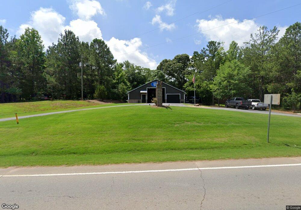
1839 Georgia 82 Statham, GA 30666
Estimated Value: $140,259
--
Bed
--
Bath
2,150
Sq Ft
$65/Sq Ft
Est. Value
About This Home
This home is located at 1839 Georgia 82, Statham, GA 30666 and is currently priced at $140,259, approximately $65 per square foot. 1839 Georgia 82 is a home located in Barrow County with nearby schools including Statham Elementary School, Bear Creek Middle School, and Winder-Barrow High School.
Ownership History
Date
Name
Owned For
Owner Type
Purchase Details
Closed on
Mar 29, 2024
Sold by
Patrick Elder
Bought by
Mhc Of Georgia Llc
Current Estimated Value
Purchase Details
Closed on
Jun 18, 2019
Sold by
Canup Clyde W
Bought by
Mcdaniel Troy
Home Financials for this Owner
Home Financials are based on the most recent Mortgage that was taken out on this home.
Original Mortgage
$84,500
Interest Rate
4%
Mortgage Type
New Conventional
Purchase Details
Closed on
Jan 4, 2013
Sold by
Canup Samuel D
Bought by
Canup Clyde W
Purchase Details
Closed on
Nov 8, 2006
Sold by
Canup Samuel D
Bought by
Canup Samuel D
Create a Home Valuation Report for This Property
The Home Valuation Report is an in-depth analysis detailing your home's value as well as a comparison with similar homes in the area
Home Values in the Area
Average Home Value in this Area
Purchase History
| Date | Buyer | Sale Price | Title Company |
|---|---|---|---|
| Mhc Of Georgia Llc | $851,750 | -- | |
| Mcdaniel Troy | $84,500 | -- | |
| Canup Clyde W | -- | -- | |
| Canup Samuel D | -- | -- |
Source: Public Records
Mortgage History
| Date | Status | Borrower | Loan Amount |
|---|---|---|---|
| Previous Owner | Mcdaniel Troy | $84,500 |
Source: Public Records
Tax History Compared to Growth
Tax History
| Year | Tax Paid | Tax Assessment Tax Assessment Total Assessment is a certain percentage of the fair market value that is determined by local assessors to be the total taxable value of land and additions on the property. | Land | Improvement |
|---|---|---|---|---|
| 2024 | $1,858 | $75,291 | $35,100 | $40,191 |
| 2023 | $1,924 | $75,291 | $35,100 | $40,191 |
| 2022 | $2,231 | $75,714 | $35,100 | $40,614 |
| 2021 | $675 | $21,465 | $16,200 | $5,265 |
| 2020 | $677 | $21,465 | $16,200 | $5,265 |
| 2019 | $689 | $21,465 | $16,200 | $5,265 |
| 2018 | $654 | $20,833 | $16,200 | $4,633 |
| 2017 | $590 | $20,249 | $16,200 | $4,049 |
| 2016 | $556 | $17,852 | $16,200 | $1,652 |
| 2015 | $559 | $17,852 | $16,200 | $1,652 |
| 2014 | $354 | $10,724 | $9,072 | $1,652 |
| 2013 | -- | $9,516 | $7,938 | $1,578 |
Source: Public Records
Map
Nearby Homes
- 1916 Hearthstone Ct
- 1914 Hearthstone Ct
- 1917 Hearthstone Ct
- 310 Jacobs Ln
- 0 Georgia 330
- 1642 White Oak Dr
- 2075 Georgia Highway 211
- 2075 Highway 211 NE
- 1423 Red Oak Way
- 1415 Red Oak Way
- 1593 Highway 82
- 2141 Kirkland Dr
- 315 Paige Way
- 162 Ashton Ln
- 29 Nunnally Rd SE
- 3036 Johnson-Hale Rd
- 308 Kinsley Way
- 133 2nd St
- The Baxley Plan at Statham Place
- The Landon II Plan at Statham Place
- 1839 Highway 82
- 1886 Highway 211 NE
- 1849 Highway 82
- 0 Hwy 211ne
- 000 Highway 211 NE
- 0 Highway 82
- 1838 Georgia 82
- 0 Hwy 211 and 82 Unit 7226020
- 0 Hwy 211 and 82 Unit 2522139
- 1846 Georgia 82
- 1846 Highway 82
- 1850 Highway 211 NE
- 1861 Highway 82
- 1823 Highway 82
- 1908 Highway 211 NE
- 400 Corbin Ct
- 401 401 Corbin Ct
- 401 Corbin Ct
- 1907 Highway 211 NE
- 204 Amber Ridge Rd