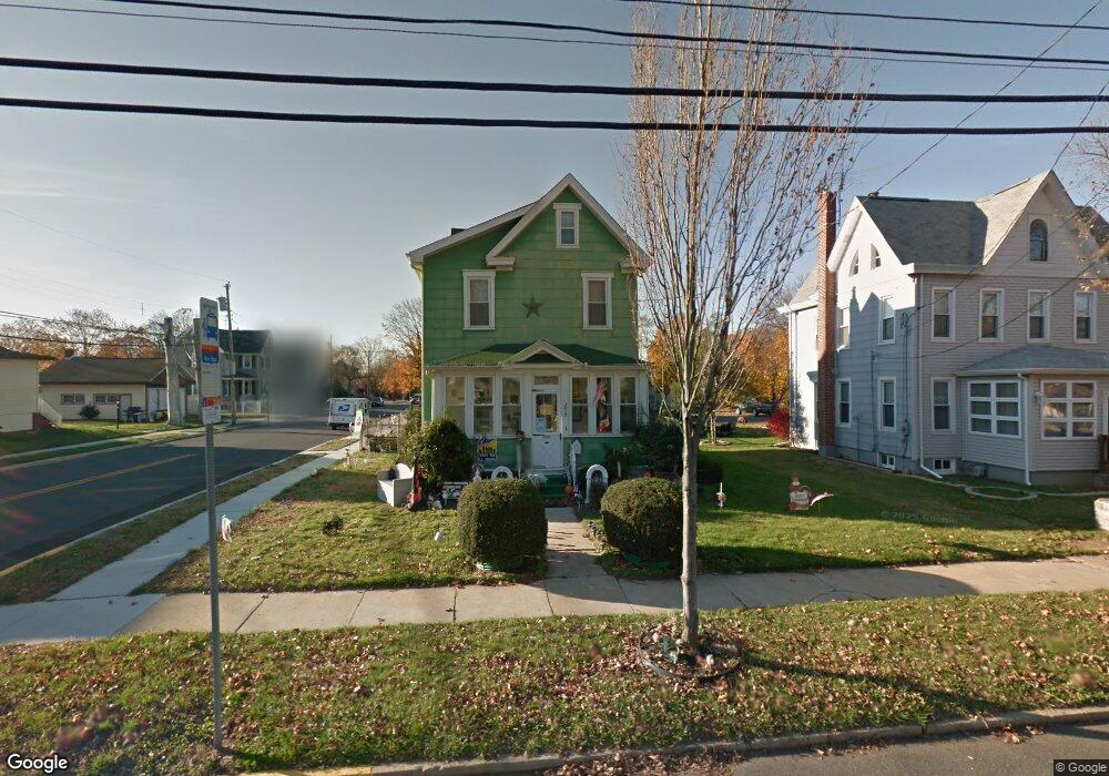
1839 Kings Hwy Swedesboro, NJ 08085
Estimated Value: $206,000 - $321,000
--
Bed
--
Bath
1,240
Sq Ft
$201/Sq Ft
Est. Value
About This Home
This home is located at 1839 Kings Hwy, Swedesboro, NJ 08085 and is currently estimated at $248,880, approximately $200 per square foot. 1839 Kings Hwy is a home located in Gloucester County with nearby schools including Margaret C Clifford School, Gov. Charles C. Stratton School, and Gen. Charles G. Harker School.
Ownership History
Date
Name
Owned For
Owner Type
Purchase Details
Closed on
Jun 18, 2002
Sold by
Tyson Walter L and Tyson Barbara J
Bought by
Rodriguez Victor M
Current Estimated Value
Home Financials for this Owner
Home Financials are based on the most recent Mortgage that was taken out on this home.
Original Mortgage
$65,315
Outstanding Balance
$27,617
Interest Rate
6.81%
Mortgage Type
FHA
Estimated Equity
$221,263
Create a Home Valuation Report for This Property
The Home Valuation Report is an in-depth analysis detailing your home's value as well as a comparison with similar homes in the area
Home Values in the Area
Average Home Value in this Area
Purchase History
| Date | Buyer | Sale Price | Title Company |
|---|---|---|---|
| Rodriguez Victor M | $66,000 | -- |
Source: Public Records
Mortgage History
| Date | Status | Borrower | Loan Amount |
|---|---|---|---|
| Open | Rodriguez Victor M | $65,315 |
Source: Public Records
Tax History Compared to Growth
Tax History
| Year | Tax Paid | Tax Assessment Tax Assessment Total Assessment is a certain percentage of the fair market value that is determined by local assessors to be the total taxable value of land and additions on the property. | Land | Improvement |
|---|---|---|---|---|
| 2025 | $4,690 | $110,300 | $34,100 | $76,200 |
| 2024 | $4,649 | $110,300 | $34,100 | $76,200 |
| 2023 | $4,649 | $110,300 | $34,100 | $76,200 |
| 2022 | $4,639 | $110,300 | $34,100 | $76,200 |
| 2021 | $4,440 | $110,300 | $34,100 | $76,200 |
| 2020 | $4,478 | $110,300 | $34,100 | $76,200 |
| 2019 | $4,399 | $110,300 | $34,100 | $76,200 |
| 2018 | $4,442 | $110,300 | $34,100 | $76,200 |
| 2017 | $4,418 | $110,300 | $34,100 | $76,200 |
| 2016 | $4,413 | $110,300 | $34,100 | $76,200 |
| 2015 | $4,286 | $110,300 | $34,100 | $76,200 |
| 2014 | $4,172 | $113,800 | $43,600 | $70,200 |
Source: Public Records
Map
Nearby Homes
- 1030 Auburn Rd
- 1932 Kings Hwy
- 1720-22 Kings Hwy
- 1602 Kings Hwy
- 122 East Ave
- 1508 Lexington Mews
- 105 Sammy St
- 613 Sammy St
- 213 Dalton Dr
- 400 2nd St
- 119 Railroad Ave
- 414 Vanneman Ave
- 104 Waterford Way
- 4 Hylton Rd
- 5 Wesley Dr
- 137 Davidson Rd
- 201 Weston Dr
- Greyson Plan at The Ridings at Woolwich
- Hadley Plan at The Ridings at Woolwich
- Greenbriar Plan at The Ridings at Woolwich
- 1837 Kings Hwy
- 1901 Kings Hwy
- 1833 Kings Hwy
- 11 Turner Ave
- 1903 Kings Hwy
- 1829 Kings Hwy
- 8 Turner Ave
- 14 Bridgeport Ave
- 14 Bridgeport Ave
- 1907 Kings Hwy
- 1860 Kings Hwy
- 1858 Kings Hwy
- 1880 Kings Hwy
- 1856 Kings Hwy
- 1806 Kings Hwy
- 760 Mayhew Ave
- 1909 Kings Hwy
- 1854 Kings Hwy
- 1904 Kings Hwy Unit 6
- 1911 Kings Hwy