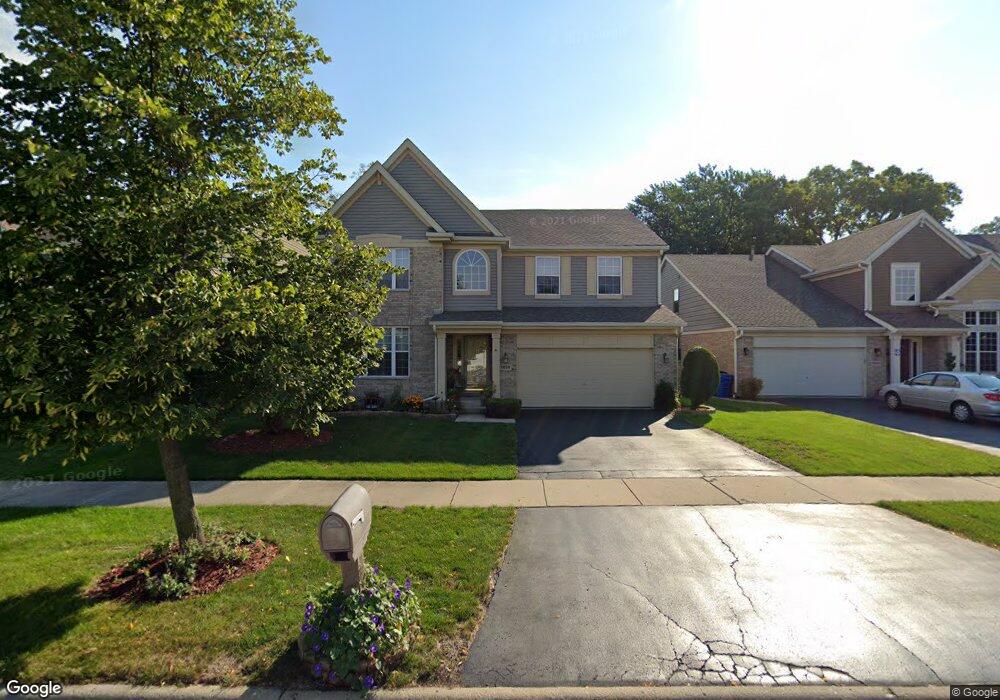
1839 Krowka Dr Des Plaines, IL 60018
Estimated Value: $610,000 - $733,000
4
Beds
3
Baths
3,105
Sq Ft
$220/Sq Ft
Est. Value
About This Home
This home is located at 1839 Krowka Dr, Des Plaines, IL 60018 and is currently estimated at $682,573, approximately $219 per square foot. 1839 Krowka Dr is a home located in Cook County with nearby schools including Orchard Place Elementary School, Algonquin Middle School, and Maine West High School.
Ownership History
Date
Name
Owned For
Owner Type
Purchase Details
Closed on
Feb 13, 2025
Sold by
Oconnell Michael P and Oconnell Larene
Bought by
Oconnell Family Trust
Current Estimated Value
Purchase Details
Closed on
Jul 23, 1999
Sold by
Westfield Homes Of Illinois Inc
Bought by
Oconnell Michael P and Oconnell Larene
Home Financials for this Owner
Home Financials are based on the most recent Mortgage that was taken out on this home.
Original Mortgage
$120,000
Interest Rate
7.68%
Create a Home Valuation Report for This Property
The Home Valuation Report is an in-depth analysis detailing your home's value as well as a comparison with similar homes in the area
Home Values in the Area
Average Home Value in this Area
Purchase History
| Date | Buyer | Sale Price | Title Company |
|---|---|---|---|
| Oconnell Family Trust | -- | None Listed On Document | |
| Oconnell Michael P | $342,000 | -- |
Source: Public Records
Mortgage History
| Date | Status | Borrower | Loan Amount |
|---|---|---|---|
| Previous Owner | Oconnell Michael P | $120,000 |
Source: Public Records
Tax History Compared to Growth
Tax History
| Year | Tax Paid | Tax Assessment Tax Assessment Total Assessment is a certain percentage of the fair market value that is determined by local assessors to be the total taxable value of land and additions on the property. | Land | Improvement |
|---|---|---|---|---|
| 2024 | $10,805 | $46,949 | $5,156 | $41,793 |
| 2023 | $11,655 | $51,453 | $5,156 | $46,297 |
| 2022 | $11,655 | $51,453 | $5,156 | $46,297 |
| 2021 | $10,702 | $38,145 | $4,296 | $33,849 |
| 2020 | $10,590 | $38,145 | $4,296 | $33,849 |
| 2019 | $10,612 | $42,860 | $4,296 | $38,564 |
| 2018 | $9,018 | $33,589 | $3,781 | $29,808 |
| 2017 | $8,876 | $33,589 | $3,781 | $29,808 |
| 2016 | $9,321 | $36,039 | $3,781 | $32,258 |
| 2015 | $8,576 | $30,992 | $3,265 | $27,727 |
| 2014 | $8,733 | $32,079 | $3,265 | $28,814 |
| 2013 | $8,961 | $33,684 | $3,265 | $30,419 |
Source: Public Records
Map
Nearby Homes
- 2500 Maple St
- 1966 Laura Ln
- 1706 Buckingham Dr
- 2609 Eisenhower Dr
- 2646 Maple St
- 2600 S Scott St
- 1641 E Touhy Ave
- 1629 E Touhy Ave
- 1757 Farwell Ave
- 2126 David Dr
- 38 E Touhy Ave
- 2993 Curtis St Unit C41
- 3051 S Scott St
- 2017 Pine St Unit B
- 1928 Kennicott Ct
- 1721 Linden St
- 22 Park Ln Unit 203
- 44 Park Ln Unit 435
- 200 Thames Pkwy Unit 1
- 500 Thames Pkwy Unit 1F
- 1843 Krowka Dr
- 1835 Krowka Dr
- 1847 Krowka Dr
- 1831 Krowka Dr
- 1911 Estes Ave
- 1851 Krowka Dr
- 1814 Krowka Dr
- 1904 Greenleaf Ave
- 1904 Estes Ave
- 1919 Estes Ave
- 1827 Krowka Dr
- 1822 Krowka Dr
- 1855 Krowka Dr
- 1826 Krowka Dr
- 1914 Greenleaf Ave
- 1912 Estes Ave
- 1823 Krowka Dr
- 1810 Krowka Dr
- 1819 Krowka Dr
- 1922 Greenleaf Ave