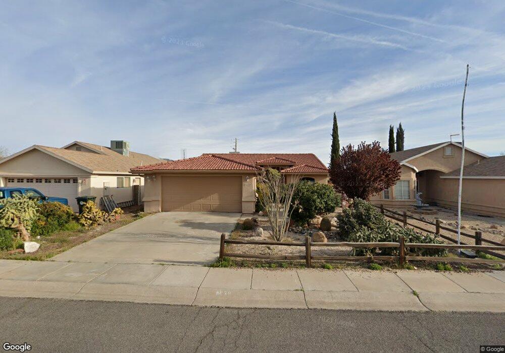
1839 Motor Ave Kingman, AZ 86401
Estimated Value: $224,467 - $266,000
2
Beds
1
Bath
1,385
Sq Ft
$177/Sq Ft
Est. Value
About This Home
This home is located at 1839 Motor Ave, Kingman, AZ 86401 and is currently estimated at $245,617, approximately $177 per square foot. 1839 Motor Ave is a home located in Mohave County with nearby schools including Manzanita Elementary School, Kingman Middle School, and Kingman High School.
Ownership History
Date
Name
Owned For
Owner Type
Purchase Details
Closed on
Jul 29, 2016
Sold by
Bauer Betty
Bought by
Bauer Edwin R and Bauer Jennifer L
Current Estimated Value
Purchase Details
Closed on
Sep 26, 2001
Sold by
Bauer Robert E and Bauer Betty Lou
Bought by
Bauer Robert E and Bauer Betty Lou
Purchase Details
Closed on
Jul 27, 2001
Sold by
Crow Gary O and Crow Delphia L
Bought by
Bauer Robert E and Bauer Betty Lou
Purchase Details
Closed on
Jan 22, 1999
Sold by
Sun Meadow Homes Inc
Bought by
Crow Gary O and Crow Delphia L
Home Financials for this Owner
Home Financials are based on the most recent Mortgage that was taken out on this home.
Original Mortgage
$65,000
Interest Rate
6.79%
Create a Home Valuation Report for This Property
The Home Valuation Report is an in-depth analysis detailing your home's value as well as a comparison with similar homes in the area
Home Values in the Area
Average Home Value in this Area
Purchase History
| Date | Buyer | Sale Price | Title Company |
|---|---|---|---|
| Bauer Edwin R | -- | None Available | |
| Bauer Robert E | -- | -- | |
| Bauer Robert E | $105,000 | First American Title | |
| Crow Gary O | $85,000 | First American Title |
Source: Public Records
Mortgage History
| Date | Status | Borrower | Loan Amount |
|---|---|---|---|
| Previous Owner | Crow Gary O | $65,000 |
Source: Public Records
Tax History Compared to Growth
Tax History
| Year | Tax Paid | Tax Assessment Tax Assessment Total Assessment is a certain percentage of the fair market value that is determined by local assessors to be the total taxable value of land and additions on the property. | Land | Improvement |
|---|---|---|---|---|
| 2026 | -- | -- | -- | -- |
| 2025 | $868 | $19,867 | $0 | $0 |
| 2024 | $868 | $21,249 | $0 | $0 |
| 2023 | $868 | $16,980 | $0 | $0 |
| 2022 | $806 | $13,891 | $0 | $0 |
| 2021 | $834 | $12,441 | $0 | $0 |
| 2019 | $762 | $11,508 | $0 | $0 |
| 2018 | $787 | $10,857 | $0 | $0 |
| 2017 | $724 | $9,683 | $0 | $0 |
| 2016 | $566 | $9,187 | $0 | $0 |
| 2015 | $592 | $7,799 | $0 | $0 |
Source: Public Records
Map
Nearby Homes
- 1827 Davis Ave
- 1820 Motor Ave
- 1816 Motor Ave
- 1834 Club Ave
- 1744 Motor Ave
- 1818 Golden Gate Ave
- 1736 Golden Gate Ave
- 1951 Motor Ave
- 1737 Atlantic Ave
- 1707 Golden Gate Ave
- 1953 Club Ave
- 1916 Pacific Ave
- 1962 Hope Ave Unit 7
- 2504 Airfield Ct
- 1829 Florence Ave
- 2504 Golf Dr
- 2112 Golf Dr Unit 16
- 1946 Gates Ave
- 2913 Western Ave
- 1939 Chicago Ave