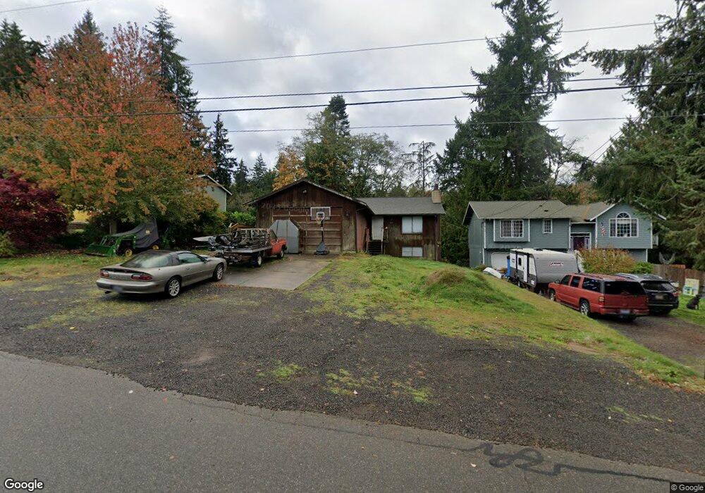
1839 NW Mulholland Blvd Poulsbo, WA 98370
Lofall NeighborhoodEstimated Value: $497,000 - $548,000
2
Beds
2
Baths
1,308
Sq Ft
$395/Sq Ft
Est. Value
About This Home
This home is located at 1839 NW Mulholland Blvd, Poulsbo, WA 98370 and is currently estimated at $516,638, approximately $394 per square foot. 1839 NW Mulholland Blvd is a home located in Kitsap County with nearby schools including Vinland Elementary School, Poulsbo Middle School, and North Kitsap High School.
Ownership History
Date
Name
Owned For
Owner Type
Purchase Details
Closed on
Jun 6, 1997
Sold by
Atkinson James E
Bought by
Schumacher Jeremy J and Schumacher Terri Lynn
Current Estimated Value
Home Financials for this Owner
Home Financials are based on the most recent Mortgage that was taken out on this home.
Original Mortgage
$107,400
Outstanding Balance
$15,316
Interest Rate
7.94%
Mortgage Type
VA
Estimated Equity
$501,322
Create a Home Valuation Report for This Property
The Home Valuation Report is an in-depth analysis detailing your home's value as well as a comparison with similar homes in the area
Home Values in the Area
Average Home Value in this Area
Purchase History
| Date | Buyer | Sale Price | Title Company |
|---|---|---|---|
| Schumacher Jeremy J | $105,300 | Land Title Company |
Source: Public Records
Mortgage History
| Date | Status | Borrower | Loan Amount |
|---|---|---|---|
| Open | Schumacher Jeremy J | $107,400 |
Source: Public Records
Tax History Compared to Growth
Tax History
| Year | Tax Paid | Tax Assessment Tax Assessment Total Assessment is a certain percentage of the fair market value that is determined by local assessors to be the total taxable value of land and additions on the property. | Land | Improvement |
|---|---|---|---|---|
| 2026 | $4,039 | $450,020 | $101,920 | $348,100 |
| 2025 | $4,039 | $450,020 | $101,920 | $348,100 |
| 2024 | $4,021 | $463,190 | $93,900 | $369,290 |
| 2023 | $4,085 | $463,190 | $93,900 | $369,290 |
| 2022 | $3,527 | $378,660 | $78,040 | $300,620 |
| 2021 | $3,348 | $332,280 | $68,290 | $263,990 |
| 2020 | $3,242 | $317,030 | $65,240 | $251,790 |
| 2019 | $3,053 | $297,500 | $60,970 | $236,530 |
| 2018 | $3,064 | $252,710 | $60,670 | $192,040 |
| 2017 | $2,901 | $252,710 | $60,670 | $192,040 |
| 2016 | $2,877 | $230,700 | $60,670 | $170,030 |
| 2015 | $2,679 | $216,020 | $60,670 | $155,350 |
| 2014 | -- | $207,450 | $60,670 | $146,780 |
| 2013 | -- | $207,450 | $60,670 | $146,780 |
Source: Public Records
Map
Nearby Homes
- 26495 NW Edgewater Blvd
- 1918 NW Russell St
- 1841 NW Russell St
- 26654 NW Lofall Rd
- 1881 NW Seclusion Cove Way
- 23490 Marinwood Cir NE Unit 1212
- 27405 Lofall Ct NW
- 25749 Pyramid Ln NW
- 0 State Hwy 3 NE Unit NWM2410405
- 25443 Pioneer Way NW
- 0 XXX Sanderling Place NE
- 1870 NW Vaa Rd
- 2 XXX NW Park St
- 27272 Big Valley Rd NE
- 28389 State Highway 3 NE
- 28393 State Hwy 3 NE
- 1170 NW Pioneer Hill Rd
- 24028 Vinland Terrace NW
- 24478 Johnson Rd NW
- 23600 Dunbar Place NW
- 1853 NW Mulholland Blvd
- 1817 NW Mulholland Blvd
- 1799 NW Mulholland Blvd
- 1869 NW Mulholland Blvd
- 1830 NW Mae Place
- 27073 Tamsen Ave NW
- 1883 NW Mulholland Blvd
- 1779 NW Mulholland Blvd
- 1840 NW Mae Place
- 27039 Tamsen Ave NW
- 1860 NW Mae Place
- 1901 NW Mulholland Blvd
- 1850 NW Mae Place
- 27017 Tamsen Ave NW
- 1890 NW Mulholland Blvd
- 1778 NW Mulholland Blvd
- 26999 Tamsen Ave NW
- 1749 NW Mulholland Blvd
- 26909 Tamsen Ave NW
- 27070 Tamsen Ave NW