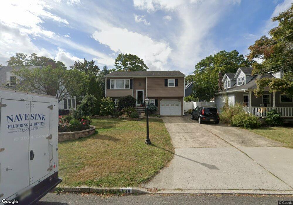
184 12th St Belford, NJ 07718
New Monmouth NeighborhoodEstimated Value: $589,000 - $610,000
3
Beds
2
Baths
1,468
Sq Ft
$406/Sq Ft
Est. Value
About This Home
This home is located at 184 12th St, Belford, NJ 07718 and is currently estimated at $596,185, approximately $406 per square foot. 184 12th St is a home located in Monmouth County with nearby schools including Bayview Elementary School, Bayshore Middle School, and Middletown High School North.
Ownership History
Date
Name
Owned For
Owner Type
Purchase Details
Closed on
Feb 24, 2017
Sold by
Clark Leigh A and Tanis Paul M
Bought by
Fox Lindsay Elizabeth
Current Estimated Value
Purchase Details
Closed on
Feb 13, 2013
Sold by
Tanis Eugene Paul
Bought by
Clark Leigh A and Tanis Paul M
Purchase Details
Closed on
Jan 13, 1999
Sold by
Viola Ann
Bought by
Tanis Eugene
Home Financials for this Owner
Home Financials are based on the most recent Mortgage that was taken out on this home.
Original Mortgage
$74,000
Interest Rate
6.75%
Create a Home Valuation Report for This Property
The Home Valuation Report is an in-depth analysis detailing your home's value as well as a comparison with similar homes in the area
Home Values in the Area
Average Home Value in this Area
Purchase History
| Date | Buyer | Sale Price | Title Company |
|---|---|---|---|
| Fox Lindsay Elizabeth | $300,000 | None Available | |
| Clark Leigh A | -- | None Available | |
| Tanis Eugene | $139,000 | -- |
Source: Public Records
Mortgage History
| Date | Status | Borrower | Loan Amount |
|---|---|---|---|
| Previous Owner | Tanis Eugene | $74,000 |
Source: Public Records
Tax History Compared to Growth
Tax History
| Year | Tax Paid | Tax Assessment Tax Assessment Total Assessment is a certain percentage of the fair market value that is determined by local assessors to be the total taxable value of land and additions on the property. | Land | Improvement |
|---|---|---|---|---|
| 2025 | $7,077 | $487,400 | $317,400 | $170,000 |
| 2024 | $7,560 | $430,200 | $263,300 | $166,900 |
| 2023 | $7,560 | $435,000 | $266,500 | $168,500 |
| 2022 | $6,367 | $382,700 | $220,000 | $162,700 |
| 2021 | $6,367 | $306,100 | $165,000 | $141,100 |
| 2020 | $6,369 | $297,900 | $160,000 | $137,900 |
| 2019 | $6,137 | $290,600 | $160,000 | $130,600 |
| 2018 | $5,699 | $263,000 | $135,000 | $128,000 |
| 2017 | $5,718 | $261,200 | $135,000 | $126,200 |
| 2016 | $5,398 | $253,300 | $125,000 | $128,300 |
| 2015 | $5,573 | $252,500 | $125,000 | $127,500 |
| 2014 | $5,467 | $241,600 | $125,000 | $116,600 |
Source: Public Records
Map
Nearby Homes
- 149 9th St
- 551 Chester Pkwy
- 816 Wedgewood Cir
- 122 Hamilton Ave
- 310 East Rd
- 86 Washington Ave
- 135 Railroad Ave
- 96 Center Ave
- 394 Monmouth Ave
- 37 Florence Ave
- 28 Florence Ave
- 854 Main St
- 92 Compton St
- 422 Maple Dr
- 309 Church St
- 79 Compton St Unit A & B
- 49 Highland Ave
- 28 W Park Ave
- 17 Washington Ave
- 147 Church St