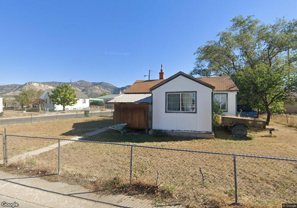
184 6th W East Carbon, UT 84520
Estimated Value: $112,000 - $143,000
3
Beds
1
Bath
801
Sq Ft
$158/Sq Ft
Est. Value
About This Home
This home is located at 184 6th W, East Carbon, UT 84520 and is currently estimated at $126,869, approximately $158 per square foot. 184 6th W is a home located in Carbon County with nearby schools including Wellington School, Mont Harmon Junior High School, and Carbon High School.
Ownership History
Date
Name
Owned For
Owner Type
Purchase Details
Closed on
Apr 12, 2022
Sold by
Scott Cameron Robert
Bought by
Kolopeaua Greg J
Current Estimated Value
Home Financials for this Owner
Home Financials are based on the most recent Mortgage that was taken out on this home.
Original Mortgage
$77,600
Outstanding Balance
$73,242
Interest Rate
4.72%
Mortgage Type
New Conventional
Estimated Equity
$53,627
Purchase Details
Closed on
Jan 4, 2008
Sold by
Smith Richard Lee
Bought by
Camron Robert Scott
Purchase Details
Closed on
Aug 28, 2007
Sold by
Mckean Joseph Jed
Bought by
Jensen Ron
Purchase Details
Closed on
Apr 24, 2006
Sold by
Roennebeck Fred and Roennnebeck Myrna
Bought by
Roennebeck Carl Fredrick W and Roennebeck Myrna C
Purchase Details
Closed on
Jun 16, 2005
Sold by
Young Myron
Bought by
Roennebeck Fred and Roennebeck Myrna
Create a Home Valuation Report for This Property
The Home Valuation Report is an in-depth analysis detailing your home's value as well as a comparison with similar homes in the area
Home Values in the Area
Average Home Value in this Area
Purchase History
| Date | Buyer | Sale Price | Title Company |
|---|---|---|---|
| Kolopeaua Greg J | -- | South Eastern Utah Title | |
| Camron Robert Scott | -- | South Eastern Utah Title Co | |
| Jensen Ron | -- | None Available | |
| Roennebeck Carl Fredrick W | -- | None Available | |
| Roennebeck Fred | $25,118 | South Eastern Utah Title Co |
Source: Public Records
Mortgage History
| Date | Status | Borrower | Loan Amount |
|---|---|---|---|
| Open | Kolopeaua Greg J | $77,600 | |
| Closed | Kolopeaua Greg J | $4,560 |
Source: Public Records
Tax History Compared to Growth
Tax History
| Year | Tax Paid | Tax Assessment Tax Assessment Total Assessment is a certain percentage of the fair market value that is determined by local assessors to be the total taxable value of land and additions on the property. | Land | Improvement |
|---|---|---|---|---|
| 2024 | $740 | $42,115 | $10,120 | $31,995 |
| 2023 | $509 | $32,999 | $3,764 | $29,235 |
| 2022 | $476 | $27,644 | $2,805 | $24,839 |
| 2021 | $399 | $37,358 | $5,100 | $32,258 |
| 2020 | $360 | $17,755 | $0 | $0 |
| 2019 | $291 | $14,631 | $0 | $0 |
| 2018 | $286 | $14,631 | $0 | $0 |
| 2017 | $284 | $14,631 | $0 | $0 |
| 2016 | $256 | $14,631 | $0 | $0 |
| 2015 | $256 | $14,631 | $0 | $0 |
| 2014 | $295 | $17,155 | $0 | $0 |
| 2013 | $283 | $17,155 | $0 | $0 |
Source: Public Records
Map
Nearby Homes
- 130 2nd W
- 154 W Geneva
- 100 Whitmore Dr
- 121 2nd W
- 138 W Geneva Dr
- 117 Grassy Trail Dr
- 302 W Hwy 123
- 127 Grassy Trail Dr
- 217 Wilkins St
- 207 N Rawlins St
- 176 Grassy Trail Dr
- 141 Denver Ave
- 169 Carson Ave
- 607 E Geneva Dr
- 346 Columbia Dr
- 138 Valley View Dr
- 431 Pinion St
- 419 Edgehill Dr
- 429 Edgehill Dr
- 590 Parkway St