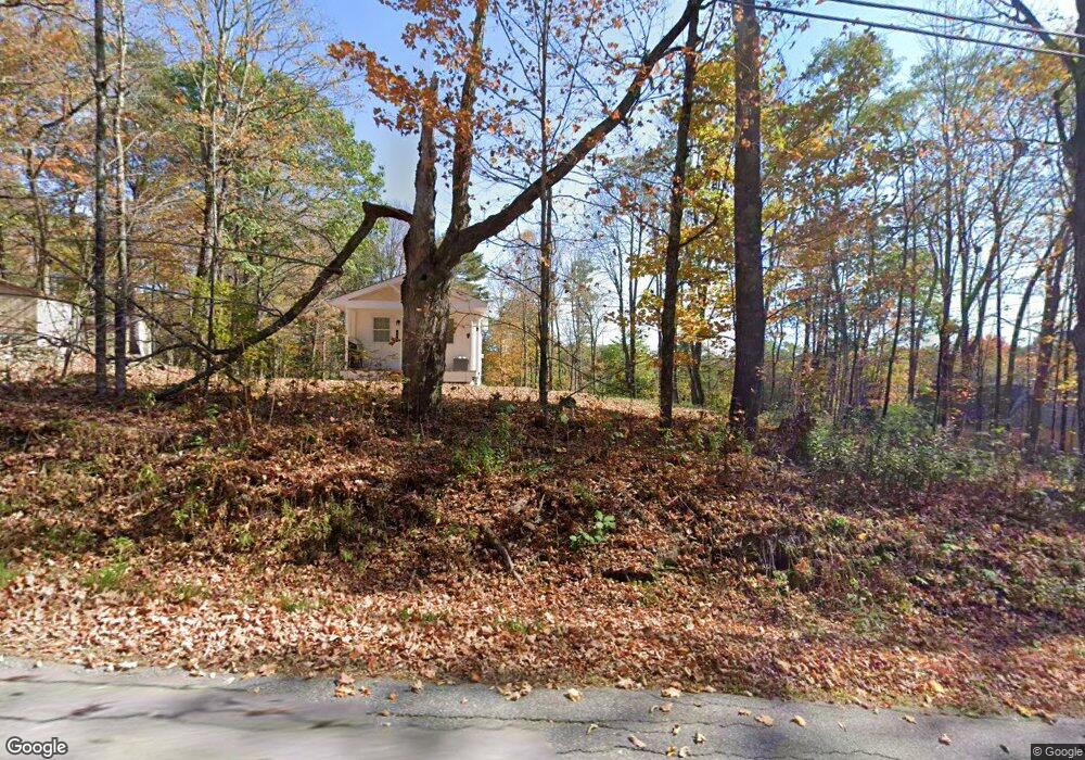
184 Adams Rd Bowdoin, ME 04287
Estimated Value: $377,000 - $438,706
3
Beds
2
Baths
1,788
Sq Ft
$230/Sq Ft
Est. Value
About This Home
This home is located at 184 Adams Rd, Bowdoin, ME 04287 and is currently estimated at $411,902, approximately $230 per square foot. 184 Adams Rd is a home with nearby schools including Mt Ararat High School.
Create a Home Valuation Report for This Property
The Home Valuation Report is an in-depth analysis detailing your home's value as well as a comparison with similar homes in the area
Home Values in the Area
Average Home Value in this Area
Tax History
| Year | Tax Paid | Tax Assessment Tax Assessment Total Assessment is a certain percentage of the fair market value that is determined by local assessors to be the total taxable value of land and additions on the property. | Land | Improvement |
|---|---|---|---|---|
| 2025 | $3,504 | $329,000 | $132,800 | $196,200 |
| 2024 | $3,319 | $342,200 | $146,000 | $196,200 |
| 2023 | $3,012 | $165,500 | $57,200 | $108,300 |
| 2022 | $3,023 | $178,890 | $57,150 | $121,740 |
| 2021 | $3,129 | $188,480 | $57,150 | $131,330 |
| 2020 | $3,016 | $188,480 | $57,150 | $131,330 |
| 2019 | $2,978 | $188,480 | $57,150 | $131,330 |
| 2018 | $2,846 | $188,480 | $57,150 | $131,330 |
| 2017 | $2,827 | $188,480 | $57,150 | $131,330 |
| 2016 | $2,771 | $188,480 | $57,150 | $131,330 |
| 2015 | $2,872 | $196,730 | $65,400 | $131,330 |
| 2014 | $2,735 | $196,730 | $65,400 | $131,330 |
| 2013 | $2,836 | $218,190 | $65,400 | $152,790 |
Source: Public Records
Map
Nearby Homes
- 286 John Tarr Rd
- 258 Dingley Rd
- Lot 14 Dead River Rd
- 36.5 Acres Augusta Rd
- 1524 Augusta Rd
- 219 Dead River Rd
- 83 Hemlock Hill Ln
- 25 Litchfield Rd
- 0 Academy Rd Unit 1502594
- Lot B2 Academy Rd
- Lot B1 Academy Rd
- Lot A2 Academy Rd
- 0 White Rd
- 27 Evergreen Ln
- 33 Bush Ln
- 83 Bowdoin Pines Rd Unit 83
- 53 Main St
- 761 Huntington Hill Rd
- 45A-A Hornbeck Cross
- 144 Keay Rd