184 Arvidson Rd Woodstock, CT 06281
Estimated Value: $560,000 - $736,000
5
Beds
5
Baths
2,893
Sq Ft
$225/Sq Ft
Est. Value
About This Home
This home is located at 184 Arvidson Rd, Woodstock, CT 06281 and is currently estimated at $652,143, approximately $225 per square foot. 184 Arvidson Rd is a home located in Windham County with nearby schools including Woodstock Elementary School, Woodstock Middle School, and The Woodstock Academy.
Ownership History
Date
Name
Owned For
Owner Type
Purchase Details
Closed on
Sep 22, 1998
Sold by
Beckwith Robert D and Beckwith Martha E
Bought by
Boshka Jeffrey J and Boshka Terri E
Current Estimated Value
Home Financials for this Owner
Home Financials are based on the most recent Mortgage that was taken out on this home.
Original Mortgage
$85,000
Interest Rate
6.9%
Mortgage Type
Purchase Money Mortgage
Create a Home Valuation Report for This Property
The Home Valuation Report is an in-depth analysis detailing your home's value as well as a comparison with similar homes in the area
Home Values in the Area
Average Home Value in this Area
Purchase History
| Date | Buyer | Sale Price | Title Company |
|---|---|---|---|
| Boshka Jeffrey J | $152,500 | -- |
Source: Public Records
Mortgage History
| Date | Status | Borrower | Loan Amount |
|---|---|---|---|
| Closed | Boshka Jeffrey J | $105,000 | |
| Closed | Boshka Jeffrey J | $85,000 | |
| Previous Owner | Boshka Jeffrey J | $85,000 | |
| Previous Owner | Boshka Jeffrey J | $82,200 |
Source: Public Records
Tax History Compared to Growth
Tax History
| Year | Tax Paid | Tax Assessment Tax Assessment Total Assessment is a certain percentage of the fair market value that is determined by local assessors to be the total taxable value of land and additions on the property. | Land | Improvement |
|---|---|---|---|---|
| 2025 | $8,678 | $355,500 | $40,300 | $315,200 |
| 2024 | $8,191 | $355,500 | $40,300 | $315,200 |
| 2023 | $7,967 | $355,500 | $40,300 | $315,200 |
| 2022 | $7,412 | $355,500 | $40,300 | $315,200 |
| 2021 | $7,711 | $302,400 | $40,300 | $262,100 |
| 2020 | $6,875 | $280,600 | $40,300 | $240,300 |
| 2019 | $6,875 | $280,600 | $40,300 | $240,300 |
| 2018 | $6,875 | $280,600 | $40,300 | $240,300 |
| 2017 | $6,819 | $280,600 | $40,300 | $240,300 |
| 2016 | $6,169 | $256,600 | $46,600 | $210,000 |
| 2015 | $5,707 | $244,300 | $46,600 | $197,700 |
| 2014 | $5,643 | $244,300 | $46,600 | $197,700 |
Source: Public Records
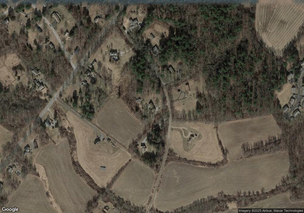
Map
Nearby Homes
- 101 Child Hill Rd
- 42 Woodstock Meadows Unit 42
- 17 Woodstock Meadows
- 104 Pulpit Rock Rd
- 12 Beech St
- 175 Pulpit Rock Rd
- 33 Bassett Hill Rd
- 76 Mill Brook Ln
- 00 Prospect St
- 172 Peake Brook Rd
- 134 New Sweden Rd
- 0 Connecticut 171
- 211 New Sweden Rd
- 6 Harrisville Rd
- 189 Center Rd
- 20 Harrissville Rd
- 36 Olde Meadow Rd
- 130 Tripp Rd
- 182 Baxter Rd
- 417 Dugg Hill Rd
- 185 Arvidson Rd
- 193 Arvidson Rd
- 177 Arvidson Rd
- 129 Child Hill Rd
- 125 Child Hill Rd
- 210 Arvidson Rd
- 203 Arvidson Rd
- 121 Child Hill Rd
- 109 Child Hill Rd
- 217 Arvidson Rd
- 3 Sunrise Dr
- 163 Child Hill Rd
- 11 Sunrise Dr
- 160 Child Hill Rd
- 148 Child Hill Rd
- 122 Child Hill Rd
- 12 Sunrise Dr
- 82 Roxbury Rd
- 19 Sunrise Dr