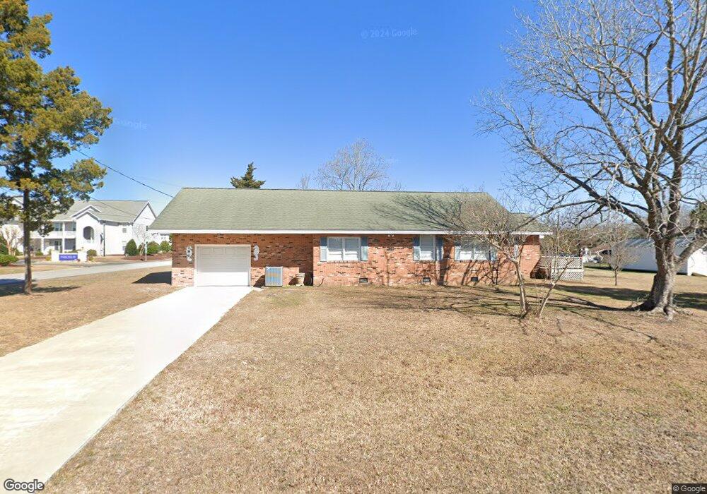
184 Brooks Ave Newport, NC 28570
Estimated Value: $266,000 - $398,000
2
Beds
1
Bath
2,030
Sq Ft
$162/Sq Ft
Est. Value
About This Home
This home is located at 184 Brooks Ave, Newport, NC 28570 and is currently estimated at $327,851, approximately $161 per square foot. 184 Brooks Ave is a home located in Carteret County with nearby schools including Morehead City Primary School, Morehead Elementary School at Camp Glenn, and Newport Middle School.
Ownership History
Date
Name
Owned For
Owner Type
Purchase Details
Closed on
Jul 3, 2012
Sold by
Devita Mildred S and Devita Mildred Smith
Bought by
Devita Mildred S and The Mildred S Devita Revocable Trust
Current Estimated Value
Purchase Details
Closed on
Jun 26, 2012
Sold by
Devita Mildred S and Devita Mildred Smith
Bought by
Ramsey Thomas C and The Mildred S Devita Irrevocable Trust
Create a Home Valuation Report for This Property
The Home Valuation Report is an in-depth analysis detailing your home's value as well as a comparison with similar homes in the area
Home Values in the Area
Average Home Value in this Area
Purchase History
| Date | Buyer | Sale Price | Title Company |
|---|---|---|---|
| Devita Mildred S | -- | None Available | |
| Ramsey Thomas C | -- | None Available |
Source: Public Records
Tax History Compared to Growth
Tax History
| Year | Tax Paid | Tax Assessment Tax Assessment Total Assessment is a certain percentage of the fair market value that is determined by local assessors to be the total taxable value of land and additions on the property. | Land | Improvement |
|---|---|---|---|---|
| 2025 | $1,019 | $302,070 | $63,035 | $239,035 |
| 2024 | $882 | $173,367 | $55,008 | $118,359 |
| 2023 | $956 | $173,367 | $55,008 | $118,359 |
| 2022 | $939 | $173,367 | $55,008 | $118,359 |
| 2021 | $926 | $178,408 | $60,049 | $118,359 |
| 2020 | $889 | $178,408 | $60,049 | $118,359 |
| 2019 | $842 | $175,375 | $47,288 | $128,087 |
| 2017 | $842 | $175,375 | $47,288 | $128,087 |
| 2016 | $842 | $175,375 | $47,288 | $128,087 |
| 2015 | $825 | $175,375 | $47,288 | $128,087 |
| 2014 | $744 | $153,355 | $64,181 | $89,174 |
Source: Public Records
Map
Nearby Homes
- 5320 Highway 70 W
- 6650 Highway 70 W
- 178 Arthur Farm Rd
- 137 Zacchaeus Ave
- 904 Lord Granville Dr
- 206 Lazy Ln
- 806 Lord Granville Dr
- 476 Highway 24 - B
- 304 Lord Granville Dr
- 212 Lord Granville Dr
- 102 Iris Ct
- 404 Hillcrest Dr
- 476 Highway 24 - A
- 108 Phillips Landing Dr
- 415 Hillcrest Dr
- 311 Lord Granville Dr
- 113 Fairway Dr W
- 509 Village Green Dr Unit A
- 200 Tree Fern Dr
- 209 Coventry Rd
- 178 Brooks St
- 130 Old Murdoch Rd
- 166 Brooks St
- 164 Old Murdoch Rd
- 160 Brooks St
- 152 Brooks St
- 300 Old Murdoch Rd
- 0 Old Murdoch Rd
- 302 Old Murdoch Rd
- 111 Old Murdoch Rd
- 171 Vellines Ave
- 5340 Highway 70 W
- 5338 U S 70
- 158 Brooks St
- 175 Old Murdoch Rd Unit 202
- 175 Old Murdoch Rd Unit 203
- 175 Old Murdoch Rd Unit 107
- 175 Old Murdoch Rd Unit 705
- 175 Old Murdoch Rd Unit 300
- 175 Old Murdoch Rd Unit 1002