184 Brookside Ln Brooks, GA 30205
Estimated Value: $421,000 - $574,000
Studio
--
Bath
2,338
Sq Ft
$216/Sq Ft
Est. Value
About This Home
This home is located at 184 Brookside Ln, Brooks, GA 30205 and is currently estimated at $504,628, approximately $215 per square foot. 184 Brookside Ln is a home with nearby schools including Peeples Elementary School, Whitewater Middle School, and Whitewater High School.
Ownership History
Date
Name
Owned For
Owner Type
Purchase Details
Closed on
Jan 24, 2023
Sold by
Matthews Barbara G
Bought by
Barbara Gail Matthews Revocable Living Trust
Current Estimated Value
Purchase Details
Closed on
Apr 19, 1993
Sold by
Nations Credit Fin
Bought by
Matthews Terry L
Home Financials for this Owner
Home Financials are based on the most recent Mortgage that was taken out on this home.
Original Mortgage
$75,000
Interest Rate
7.56%
Create a Home Valuation Report for This Property
The Home Valuation Report is an in-depth analysis detailing your home's value as well as a comparison with similar homes in the area
Home Values in the Area
Average Home Value in this Area
Purchase History
| Date | Buyer | Sale Price | Title Company |
|---|---|---|---|
| Barbara Gail Matthews Revocable Living Trust | -- | -- | |
| Matthews Terry L | $100,000 | -- |
Source: Public Records
Mortgage History
| Date | Status | Borrower | Loan Amount |
|---|---|---|---|
| Previous Owner | Matthews Terry L | $75,000 |
Source: Public Records
Tax History
| Year | Tax Paid | Tax Assessment Tax Assessment Total Assessment is a certain percentage of the fair market value that is determined by local assessors to be the total taxable value of land and additions on the property. | Land | Improvement |
|---|---|---|---|---|
| 2025 | $1,435 | $181,690 | $52,229 | $129,462 |
| 2024 | $1,435 | $169,804 | $48,812 | $120,992 |
| 2023 | $1,435 | $157,976 | $42,896 | $115,080 |
| 2022 | $1,304 | $148,856 | $38,456 | $110,400 |
| 2021 | $1,129 | $133,140 | $35,500 | $97,640 |
| 2020 | $971 | $117,264 | $28,104 | $89,160 |
| 2019 | $942 | $112,184 | $28,104 | $84,080 |
| 2018 | $1,943 | $103,112 | $24,272 | $78,840 |
| 2017 | $1,797 | $94,792 | $22,992 | $71,800 |
| 2016 | $1,680 | $86,152 | $22,992 | $63,160 |
| 2015 | $2,423 | $80,512 | $22,992 | $57,520 |
| 2014 | $2,256 | $73,712 | $22,992 | $50,720 |
| 2013 | -- | $70,076 | $0 | $0 |
Source: Public Records
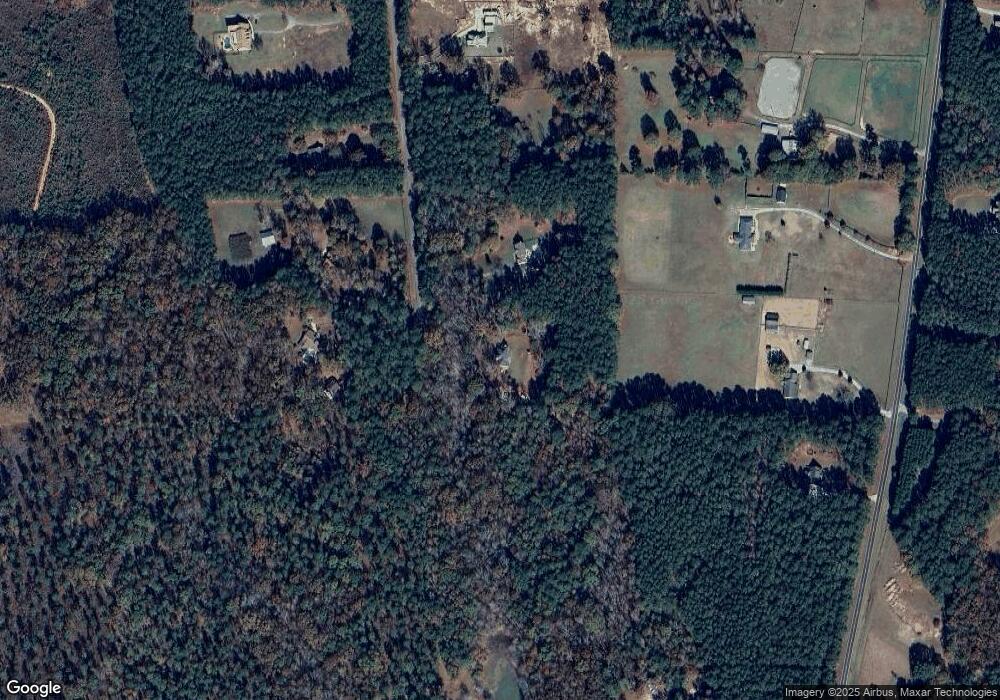
Map
Nearby Homes
- 395 W Mcintosh Rd
- 0 W Mcintosh Rd Unit 10654779
- NEXT TO 443 W Mcintosh Rd
- 456 W Mcintosh Rd
- 152 Carson Rd
- 130 Brooklet Way
- 423 Woods Rd
- 911 Highway 85 Connector
- 0 Mask Rd Unit 10671477
- 4101 W Ellis Rd
- 179 Hogan Rd
- 460 Mask Rd
- 108 Morgan Mill Rd
- LOT 6 Mask Road - Hanner's Farm N
- LOT 8 Mask Road - Hanner's Farm S
- LOT 7 Mask Road - Hanner's Farm S
- LOT 5 Mask Road - Hanner's Farm N
- LOT 4 Mask Road - Hanner's Farm N
- 531 Grant Rd
- 6475 Newnan Rd
- 174 Brookside Ln
- 173 Brookside Ln
- 166 Brookside Ln
- 191 Hardy Rd
- 159 Brookside Ln
- 179 Hardy Rd
- 148 Brookside Ln
- 159 Hardy Rd
- 145 Hardy Rd
- 141 Brookside Ln
- 138 Brookside Ln
- 335 W Mcintosh Rd
- 227 Hardy Rd
- 132 Hardy Rd Unit 7
- 132 Hardy Rd
- 297 W Mcintosh Rd
- 154 Hardy Rd
- 305 W Mcintosh Rd
- 109 Hardy Rd
- 253 Hardy Rd
Your Personal Tour Guide
Ask me questions while you tour the home.