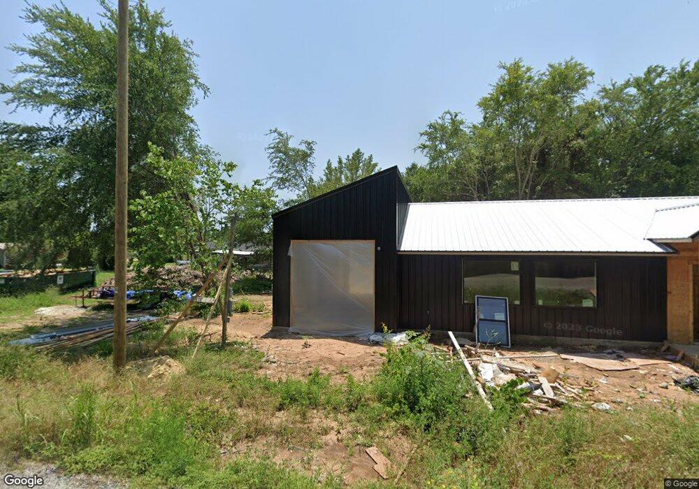
184 Castle Dr Pottsboro, TX 75076
Estimated Value: $317,598 - $476,000
--
Bed
--
Bath
1,496
Sq Ft
$285/Sq Ft
Est. Value
About This Home
This home is located at 184 Castle Dr, Pottsboro, TX 75076 and is currently estimated at $426,150, approximately $284 per square foot. 184 Castle Dr is a home with nearby schools including Pottsboro Elementary School, Pottsboro Middle School, and Pottsboro High School.
Ownership History
Date
Name
Owned For
Owner Type
Purchase Details
Closed on
Jun 30, 2022
Sold by
Bates Michelle L
Bought by
Dillard Megan
Current Estimated Value
Purchase Details
Closed on
Nov 23, 2021
Sold by
Myriam Frontado
Bought by
Bates Michelle L
Purchase Details
Closed on
Jan 8, 2007
Sold by
N R L L East Llc
Bought by
Frontado Myriam
Home Financials for this Owner
Home Financials are based on the most recent Mortgage that was taken out on this home.
Original Mortgage
$7,615
Interest Rate
6.1%
Mortgage Type
Seller Take Back
Create a Home Valuation Report for This Property
The Home Valuation Report is an in-depth analysis detailing your home's value as well as a comparison with similar homes in the area
Home Values in the Area
Average Home Value in this Area
Purchase History
| Date | Buyer | Sale Price | Title Company |
|---|---|---|---|
| Dillard Megan | -- | Chapin Title | |
| Bates Michelle L | -- | Simplifile | |
| Bates Michelle L | -- | None Listed On Document | |
| Frontado Myriam | -- | None Available |
Source: Public Records
Mortgage History
| Date | Status | Borrower | Loan Amount |
|---|---|---|---|
| Previous Owner | Frontado Myriam | $7,615 |
Source: Public Records
Tax History Compared to Growth
Tax History
| Year | Tax Paid | Tax Assessment Tax Assessment Total Assessment is a certain percentage of the fair market value that is determined by local assessors to be the total taxable value of land and additions on the property. | Land | Improvement |
|---|---|---|---|---|
| 2025 | $3,800 | $356,098 | $90,000 | $266,098 |
| 2024 | $4,952 | $357,430 | $90,000 | $267,430 |
| 2023 | $1,398 | $100,701 | $35,000 | $65,701 |
| 2022 | $379 | $24,108 | $24,108 | $0 |
| 2021 | $187 | $11,480 | $11,480 | $0 |
| 2020 | $213 | $12,628 | $12,628 | $0 |
| 2019 | $284 | $16,072 | $16,072 | $0 |
| 2018 | $165 | $9,184 | $9,184 | $0 |
| 2017 | $167 | $9,184 | $9,184 | $0 |
| 2016 | $167 | $9,184 | $9,184 | $0 |
| 2015 | $0 | $9,184 | $9,184 | $0 |
| 2014 | -- | $9,184 | $9,184 | $0 |
Source: Public Records
Map
Nearby Homes
- 34 Cambridge Dr
- 81 Windsor Dr
- 545 Black Forest Dr
- 344 Castle Dr
- 142 Wales Dr
- 226 Cambridge Dr
- 207 Wales Dr
- 491 Black Forest Dr
- 191 Black Forest Dr
- 16 Wales Dr
- 83 Mayfield Ln
- 11 Mayfield Ln
- 219 Ray Rd
- 33 Queens Dr
- 118 Hacienda Dr
- 116 Oak Hills Dr
- 766 Lakepoint Loop
- 188 Hacienda Dr
- 258 Lou-Sand Hill Rd
- 588 Lakepoint Loop
- 17 Cambridge Dr
- 160 Castle Dr
- LOT 1 Georgetown Ridge
- 171 Castle Dr
- LOT 2 Georgetown Ridge
- 210 Windsor Dr
- 233 Castle Dr
- TBD Castle Dr
- 225 Windsor Dr
- 276 Windsor Dr
- 3023 Georgetown Rd
- 262 Windsor Dr
- TBD Lot 43 Windsor Dr
- 00 Windsor Dr
- 111 Cambridge Dr
- 3135 Georgetown Rd
- 294 Windsor Dr
- 104 Castle Dr
- 107 Castle Dr
- 1 Kent St