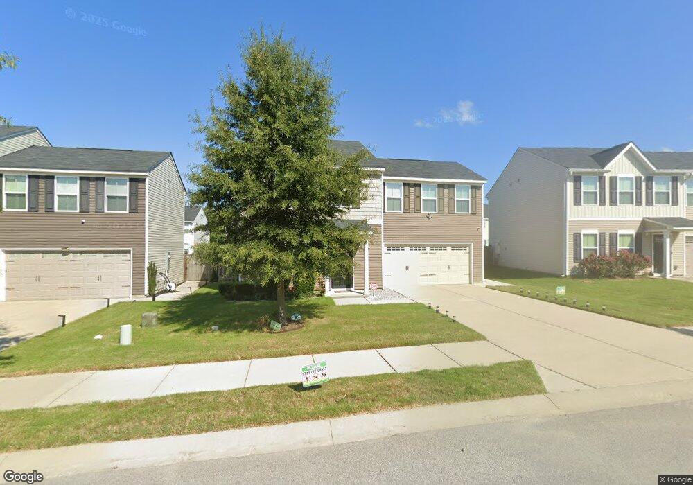
184 Council Loop Columbia, SC 29209
Southeast Columbia NeighborhoodEstimated Value: $249,971 - $273,000
4
Beds
1
Bath
1,680
Sq Ft
$157/Sq Ft
Est. Value
About This Home
This home is located at 184 Council Loop, Columbia, SC 29209 and is currently estimated at $263,493, approximately $156 per square foot. 184 Council Loop is a home located in Richland County with nearby schools including Annie Burnside Elementary School, Crayton Middle School, and A. C. Flora High School.
Ownership History
Date
Name
Owned For
Owner Type
Purchase Details
Closed on
Sep 21, 2020
Sold by
Hughes Denson Darlene and Hughes Sean
Bought by
Denson Darlene Hughes and Hughes Sean
Current Estimated Value
Purchase Details
Closed on
Nov 20, 2019
Sold by
Nvr Inc
Bought by
Hughes Denson Darlene
Home Financials for this Owner
Home Financials are based on the most recent Mortgage that was taken out on this home.
Original Mortgage
$154,038
Interest Rate
3.6%
Mortgage Type
New Conventional
Purchase Details
Closed on
Aug 5, 2019
Sold by
Burnside Farm Associates Llc
Bought by
Nvr Inc
Create a Home Valuation Report for This Property
The Home Valuation Report is an in-depth analysis detailing your home's value as well as a comparison with similar homes in the area
Home Values in the Area
Average Home Value in this Area
Purchase History
| Date | Buyer | Sale Price | Title Company |
|---|---|---|---|
| Denson Darlene Hughes | -- | None Available | |
| Denson Darlene Hughes | -- | None Listed On Document | |
| Hughes Denson Darlene | $165,990 | None Available | |
| Nvr Inc | $136,680 | None Available |
Source: Public Records
Mortgage History
| Date | Status | Borrower | Loan Amount |
|---|---|---|---|
| Previous Owner | Hughes Denson Darlene | $154,038 |
Source: Public Records
Tax History
| Year | Tax Paid | Tax Assessment Tax Assessment Total Assessment is a certain percentage of the fair market value that is determined by local assessors to be the total taxable value of land and additions on the property. | Land | Improvement |
|---|---|---|---|---|
| 2024 | $1,188 | $190,900 | $0 | $0 |
| 2023 | $1,318 | $6,640 | $0 | $0 |
| 2022 | $1,204 | $166,000 | $33,500 | $132,500 |
| 2021 | $1,243 | $6,640 | $0 | $0 |
| 2020 | $4,908 | $9,960 | $0 | $0 |
Source: Public Records
Map
Nearby Homes
- 360 Council Loop
- 173 Council Loop
- 300 E Lake Trail
- 225 E Lake Trail
- 174 Preston Green Dr
- 267 Ashewood Commons Dr
- 164 Springway Dr
- 11 Paperbark Ct
- 31 Silverleaf Ct
- 123 Gayle Pond Trace
- 25 Willow Hurst Ct
- 1606 Blaine St
- 7520 Pell St
- 577 Swamp Grass Dr
- 578 Swamp Grass Dr
- 582 Swamp Grass Dr
- 7301 Sunview Dr
- 404 Hampton Forest Dr
- 411 Hampton Forest Dr
- 231 Forest Green Dr
- 180 Council Loop
- 188 Council Loop
- 352 Council Loop
- 192 Council Loop Unit Fair Hills Loop
- 178 Council Loop
- 344 Council Loop
- 356 Council Loop
- 181 Council Loop
- 185 Council Loop
- 196 Council Loop
- 189 Council Loop
- 176 Council Loop
- 340 Council Loop
- 177 Council Loop
- 193 Council Loop
- 200 Council Loop
- 336 Council Loop
- 172 Council Loop
- 637 Scribes Ln
- 364 Council Loop
Your Personal Tour Guide
Ask me questions while you tour the home.