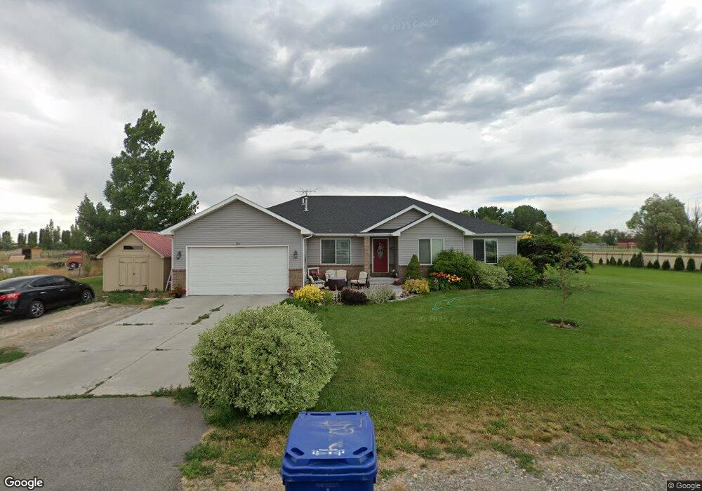
184 E 335 N Blackfoot, ID 83221
Estimated Value: $542,000 - $738,000
--
Bed
3
Baths
1,994
Sq Ft
$312/Sq Ft
Est. Value
About This Home
This home is located at 184 E 335 N, Blackfoot, ID 83221 and is currently estimated at $621,443, approximately $311 per square foot. 184 E 335 N is a home with nearby schools including Wapello Elementary School, Blackfoot High School, and Blackfoot Charter Community Learning Center.
Ownership History
Date
Name
Owned For
Owner Type
Purchase Details
Closed on
Feb 24, 2014
Sold by
Snowcrest Development Llc
Bought by
Marlow Chad and Marlow Julie
Current Estimated Value
Home Financials for this Owner
Home Financials are based on the most recent Mortgage that was taken out on this home.
Original Mortgage
$260,350
Outstanding Balance
$198,306
Interest Rate
4.47%
Mortgage Type
New Conventional
Estimated Equity
$423,137
Purchase Details
Closed on
Oct 17, 2013
Sold by
Marlow Jay Walton and Marlow Nadine
Bought by
Snowcrest Development Llc
Create a Home Valuation Report for This Property
The Home Valuation Report is an in-depth analysis detailing your home's value as well as a comparison with similar homes in the area
Purchase History
| Date | Buyer | Sale Price | Title Company |
|---|---|---|---|
| Marlow Chad | -- | Alliance Title | |
| Snowcrest Development Llc | -- | Alliance Title |
Source: Public Records
Mortgage History
| Date | Status | Borrower | Loan Amount |
|---|---|---|---|
| Open | Marlow Chad | $260,350 |
Source: Public Records
Tax History
| Year | Tax Paid | Tax Assessment Tax Assessment Total Assessment is a certain percentage of the fair market value that is determined by local assessors to be the total taxable value of land and additions on the property. | Land | Improvement |
|---|---|---|---|---|
| 2025 | $1,731 | $510,190 | $70,200 | $439,990 |
| 2024 | $1,999 | $495,110 | $55,120 | $439,990 |
| 2023 | $2,391 | $495,110 | $55,120 | $439,990 |
| 2022 | $4,494 | $495,110 | $55,120 | $439,990 |
| 2021 | $2,294 | $329,020 | $47,120 | $281,900 |
| 2020 | $2,411 | $313,960 | $0 | $0 |
| 2019 | $2,648 | $313,960 | $0 | $0 |
| 2018 | $2,033 | $253,395 | $32,060 | $221,335 |
| 2017 | $1,972 | $246,385 | $25,050 | $221,335 |
| 2016 | $1,985 | $246,385 | $0 | $0 |
| 2015 | -- | $246,385 | $0 | $0 |
| 2014 | -- | $25,050 | $25,050 | $0 |
Source: Public Records
Map
Nearby Homes
- L8 B1 S 330 N
- L6B1 S 330 N
- 144 E 400 N
- 1334 Harris Loop
- TBD E 200 N
- 499 N 400 E
- 97 E 600 N
- 98 N 50 E
- TBD Branch Way L27 B1
- TBD Branch Way L26 B1
- TBD Petal Drive L8 B3
- TBD Petal Drive L29 B1
- TBD Petal Drive L7 B3
- TBD Petal Drive L6 B3
- TBD Stem Drive L25 B1
- TBD Thorn Dr L3 B3
- TBD Stem Drive L24 B1
- TBD Thorn Dr L4 B3
- TBD Stem Drive L23 B1
- TBD Stem Drive L21 B1
Your Personal Tour Guide
Ask me questions while you tour the home.