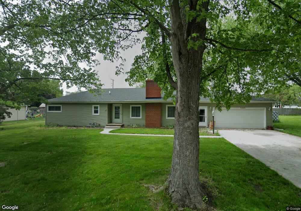
184 Elm St Dundee, MI 48131
Estimated Value: $93,000 - $562,000
Studio
--
Bath
--
Sq Ft
6,098
Sq Ft Lot
About This Home
This home is located at 184 Elm St, Dundee, MI 48131 and is currently estimated at $302,000. 184 Elm St is a home located in Monroe County with nearby schools including Dundee Middle School, Dundee Elementary School, and Dundee Community High School.
Ownership History
Date
Name
Owned For
Owner Type
Purchase Details
Closed on
Jul 12, 2021
Sold by
Clancy Christopher
Bought by
Franks Daniel G and Franks Cloe B
Current Estimated Value
Purchase Details
Closed on
Nov 20, 2002
Sold by
Arnold Missler
Bought by
John Asztalos and Jorn Asztalos Jorn
Home Financials for this Owner
Home Financials are based on the most recent Mortgage that was taken out on this home.
Original Mortgage
$153,400
Interest Rate
6.13%
Mortgage Type
FHA
Create a Home Valuation Report for This Property
The Home Valuation Report is an in-depth analysis detailing your home's value as well as a comparison with similar homes in the area
Home Values in the Area
Average Home Value in this Area
Purchase History
| Date | Buyer | Sale Price | Title Company |
|---|---|---|---|
| Franks Daniel G | $193,000 | Select Title Company | |
| John Asztalos | $155,000 | -- |
Source: Public Records
Mortgage History
| Date | Status | Borrower | Loan Amount |
|---|---|---|---|
| Previous Owner | John Asztalos | $153,400 |
Source: Public Records
Tax History
| Year | Tax Paid | Tax Assessment Tax Assessment Total Assessment is a certain percentage of the fair market value that is determined by local assessors to be the total taxable value of land and additions on the property. | Land | Improvement |
|---|---|---|---|---|
| 2025 | $17 | $740 | $740 | $0 |
| 2024 | $16 | $740 | $0 | $0 |
| 2023 | $22 | $740 | $0 | $0 |
| 2022 | $15 | $740 | $0 | $0 |
| 2021 | $29 | $740 | $0 | $0 |
| 2020 | $29 | $850 | $0 | $0 |
| 2019 | $18 | $850 | $0 | $0 |
| 2018 | $28 | $730 | $0 | $0 |
| 2017 | $28 | $730 | $0 | $0 |
| 2016 | $21 | $730 | $0 | $0 |
| 2015 | $22 | $790 | $0 | $0 |
| 2014 | $30 | $790 | $0 | $0 |
| 2013 | $24 | $790 | $0 | $0 |
Source: Public Records
Map
Nearby Homes
- 0 Washington St Unit 20261021371
- 150 Waterstradt Commerce Dr
- 127 Barnum St
- 454 Tecumseh St
- 217 Potterstone Dr
- 0 Tecumseh St
- 512 Brooks Hollow Ct
- 504 Brooks Hollow Ct
- 16484 Tecumseh St
- 469 Corinth
- 365 Sidney St
- 16488 Tecumseh St
- 190 Sidney St
- 5097 Westminster Dr
- 535 Falcon Dr
- 1353 W Lloyd Rd
- 301 White Owl Ln Unit 236
- 671 Elk Ridge Dr
- 742 Forest Ln
- 835 Henning St
Your Personal Tour Guide
Ask me questions while you tour the home.