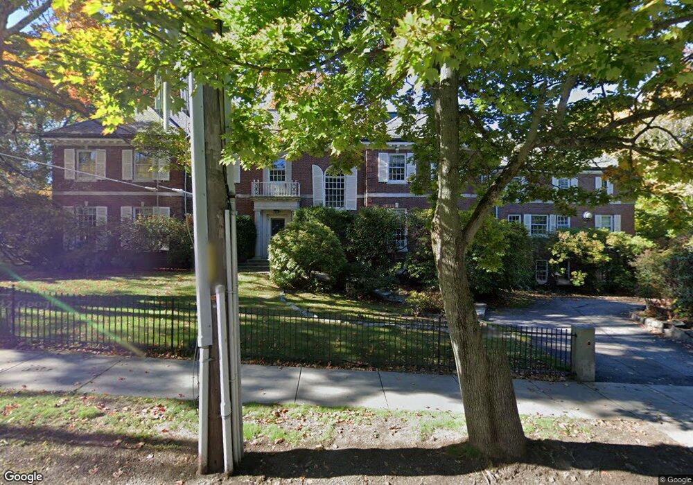
184 Fisher Ave Brookline, MA 02445
Chestnut Hill NeighborhoodEstimated Value: $5,505,000 - $6,175,000
9
Beds
8
Baths
7,320
Sq Ft
$812/Sq Ft
Est. Value
About This Home
This home is located at 184 Fisher Ave, Brookline, MA 02445 and is currently estimated at $5,945,547, approximately $812 per square foot. 184 Fisher Ave is a home located in Norfolk County with nearby schools including John D. Runkle School, Torah Academy, and Maimonides School.
Ownership History
Date
Name
Owned For
Owner Type
Purchase Details
Closed on
Mar 16, 1998
Sold by
Debcer Rt
Bought by
Fisher Hill T
Current Estimated Value
Purchase Details
Closed on
Nov 9, 1994
Sold by
Schwartz Arthur C Est
Bought by
Doboer Rt
Purchase Details
Closed on
Jan 14, 1988
Sold by
Caplan Louis R
Bought by
Schwartz Arthur C
Home Financials for this Owner
Home Financials are based on the most recent Mortgage that was taken out on this home.
Original Mortgage
$800,000
Interest Rate
10.58%
Mortgage Type
Purchase Money Mortgage
Create a Home Valuation Report for This Property
The Home Valuation Report is an in-depth analysis detailing your home's value as well as a comparison with similar homes in the area
Home Values in the Area
Average Home Value in this Area
Purchase History
| Date | Buyer | Sale Price | Title Company |
|---|---|---|---|
| Fisher Hill T | $1,504,000 | -- | |
| Doboer Rt | $1,200,000 | -- | |
| Schwartz Arthur C | $1,085,000 | -- |
Source: Public Records
Mortgage History
| Date | Status | Borrower | Loan Amount |
|---|---|---|---|
| Open | Schwartz Arthur C | $1,000,000 | |
| Previous Owner | Schwartz Arthur C | $74,000 | |
| Previous Owner | Schwartz Arthur C | $1,200,000 | |
| Previous Owner | Schwartz Arthur C | $800,000 |
Source: Public Records
Tax History Compared to Growth
Tax History
| Year | Tax Paid | Tax Assessment Tax Assessment Total Assessment is a certain percentage of the fair market value that is determined by local assessors to be the total taxable value of land and additions on the property. | Land | Improvement |
|---|---|---|---|---|
| 2025 | $58,032 | $5,879,600 | $3,710,600 | $2,169,000 |
| 2024 | $55,346 | $5,664,900 | $3,567,700 | $2,097,200 |
| 2023 | $47,474 | $4,761,700 | $2,549,000 | $2,212,700 |
| 2022 | $46,211 | $4,534,900 | $2,427,600 | $2,107,300 |
| 2021 | $42,733 | $4,360,500 | $2,334,200 | $2,026,300 |
| 2020 | $38,961 | $4,122,900 | $2,121,900 | $2,001,000 |
| 2019 | $36,792 | $3,926,600 | $2,020,900 | $1,905,700 |
| 2018 | $42,286 | $4,470,000 | $2,085,600 | $2,384,400 |
| 2017 | $41,664 | $4,217,000 | $1,967,500 | $2,249,500 |
| 2016 | $41,066 | $3,941,100 | $1,838,800 | $2,102,300 |
| 2015 | $39,338 | $3,683,300 | $1,718,500 | $1,964,800 |
| 2014 | $39,341 | $3,454,000 | $1,562,300 | $1,891,700 |
Source: Public Records
Map
Nearby Homes
- 540 Chestnut Hill Ave
- 9 Willard Rd
- 30 Ackers Ave
- 8 Strathmore Rd Unit G
- 120 Seaver St Unit A103
- 120 Seaver St Unit C-102
- 17 Strathmore Rd Unit 2
- 333 Clark Rd
- 135 Beaconsfield Rd Unit 1
- 1880 Beacon St Unit 6
- 1856 Beacon St Unit 2C
- 141 Beaconsfield Rd Unit 6
- 94 Beaconsfield Rd Unit 201
- 3 Englewood Ave Unit 9
- 675 Chestnut Hill Ave
- 55 Leicester St
- 1763 Beacon St Unit A
- 1778 Beacon St Unit 302
- 19-21 Orkney Rd
- 31 Orkney Rd Unit 54
- 195 Fisher Ave
- 200 Fisher Ave
- 89 Hyslop Rd
- 166 Fisher Ave
- 169 Fisher Ave
- 348 Buckminster Rd
- 119 Hyslop Rd
- 306 Buckminster Rd
- 207 Fisher Ave
- 337 Buckminster Rd
- 315 Buckminster Rd
- 125 Holland Rd
- 345 Buckminster Rd
- 294 Buckminster Rd
- 70 Hyslop Rd
- 309 Buckminster Rd
- 364 Buckminster Rd
- 67 Hyslop Rd
- 305 Buckminster Rd
- 305 Buckminster Rd Unit 1