184 Heard Rd Lagrange, GA 30240
Estimated Value: $263,000 - $337,051
3
Beds
1
Bath
1,616
Sq Ft
$188/Sq Ft
Est. Value
About This Home
This home is located at 184 Heard Rd, Lagrange, GA 30240 and is currently estimated at $303,763, approximately $187 per square foot. 184 Heard Rd is a home with nearby schools including Long Cane Elementary School, Whitesville Road Elementary School, and Berta Weathersbee Elementary School.
Ownership History
Date
Name
Owned For
Owner Type
Purchase Details
Closed on
May 12, 2010
Sold by
Mcdaniel Hosea C
Bought by
Mcdaniel Lula Bell
Current Estimated Value
Purchase Details
Closed on
May 6, 2010
Sold by
Mcdaniel Hosea C
Bought by
Mcdaniel Lula Bell
Purchase Details
Closed on
Aug 16, 2000
Sold by
Mcdaniel H
Bought by
Mcdaniel Hosea C
Purchase Details
Closed on
Jul 21, 1999
Sold by
Hosie C Mcdaniel
Bought by
Mcdaniel H
Purchase Details
Closed on
Jan 1, 1951
Bought by
Hosie C Mcdaniel
Create a Home Valuation Report for This Property
The Home Valuation Report is an in-depth analysis detailing your home's value as well as a comparison with similar homes in the area
Home Values in the Area
Average Home Value in this Area
Purchase History
| Date | Buyer | Sale Price | Title Company |
|---|---|---|---|
| Mcdaniel Lula Bell | -- | -- | |
| Mcdaniel Lula Bell | -- | -- | |
| Mcdaniel Hosea C | -- | -- | |
| Mcdaniel H | -- | -- | |
| Hosie C Mcdaniel | -- | -- |
Source: Public Records
Tax History Compared to Growth
Tax History
| Year | Tax Paid | Tax Assessment Tax Assessment Total Assessment is a certain percentage of the fair market value that is determined by local assessors to be the total taxable value of land and additions on the property. | Land | Improvement |
|---|---|---|---|---|
| 2024 | $1,721 | $114,760 | $77,320 | $37,440 |
| 2023 | $1,553 | $109,280 | $77,320 | $31,960 |
| 2022 | $1,526 | $107,600 | $77,320 | $30,280 |
| 2021 | $1,267 | $95,440 | $76,480 | $18,960 |
| 2020 | $1,250 | $95,440 | $76,480 | $18,960 |
| 2019 | $1,248 | $95,960 | $76,480 | $19,480 |
| 2018 | $1,178 | $94,200 | $76,480 | $17,720 |
| 2017 | $1,162 | $94,200 | $76,480 | $17,720 |
| 2016 | $1,163 | $94,763 | $76,536 | $18,227 |
| 2015 | $1,092 | $94,506 | $76,279 | $18,227 |
| 2014 | $691 | $94,829 | $89,409 | $5,420 |
| 2013 | -- | $94,829 | $89,409 | $5,420 |
Source: Public Records
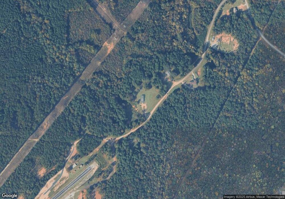
Map
Nearby Homes
- 0 Cannonville Rd
- 345 Robert Taylor Rd
- 0 Robert Hayes Rd Unit 10611067
- 1248 Cannonville Rd
- 311 Tomme Rd
- 2067 Bartley Rd
- 208 Harris Walk Unit 80
- 648 Warner Rd
- 4172 Bartley Rd
- 797 Gabbettville Rd
- Sandtown Road Unit: 1 2+ - Acre
- 0 Sandtown Rd Unit 10255987
- 620 Old Hutchinson Mill Rd
- 1605 Bartley Rd
- 22 Freeman Rd
- 0 Whitesville Rd Unit 10496838
- 0 Whitesville Rd Unit 10578327
- 3913 Whitesville Rd
- 0 Hanson Dr Unit 10641272
- 5714 W Point Rd
- 146 Heard Rd
- 123 Heard Rd
- 83 Heard Rd
- 163 Hogg Mountain Rd
- 148 Judge Woodyard Rd
- 32 Hogg Mountain Rd
- 29 Judge Woodyard Rd
- 343 Hogg Mountain Rd
- 33 Judge Woodyard Rd
- 2040 New Hutchinson Mill Rd
- 345 Hogg Mountain Rd
- 239 Cannonville Rd
- 240 Cannonville Rd
- 188 Cannonville Rd
- 2035 New Hutchinson Mill Rd
- 96 Cannonville Rd
- 2160 New Hutchinson Mill Rd
- 2101 New Hutchinson Mill Rd
- 2354 New Hutchinson Mill Rd
- 2230 New Hutchinson Mill Rd