184 Laney Dr Locust Grove, GA 30248
Estimated Value: $281,000 - $453,154
3
Beds
2
Baths
1,200
Sq Ft
$307/Sq Ft
Est. Value
About This Home
This home is located at 184 Laney Dr, Locust Grove, GA 30248 and is currently estimated at $368,289, approximately $306 per square foot. 184 Laney Dr is a home located in Henry County with nearby schools including Tussahaw Elementary School, Locust Grove Middle School, and Locust Grove High School.
Ownership History
Date
Name
Owned For
Owner Type
Purchase Details
Closed on
Apr 21, 2003
Sold by
Reed Timothy P and Reed Stephanie
Bought by
Reed Timothy and Reed Stephanie
Current Estimated Value
Home Financials for this Owner
Home Financials are based on the most recent Mortgage that was taken out on this home.
Original Mortgage
$230,000
Interest Rate
5.79%
Purchase Details
Closed on
Sep 23, 2002
Sold by
Reed Timothy P
Bought by
Reed Timothy P and Reed Stephanie
Home Financials for this Owner
Home Financials are based on the most recent Mortgage that was taken out on this home.
Original Mortgage
$104,000
Interest Rate
6.27%
Mortgage Type
New Conventional
Purchase Details
Closed on
Apr 23, 1998
Sold by
Simmons James H and Simmons Alicia K
Bought by
Reed Timothy P
Home Financials for this Owner
Home Financials are based on the most recent Mortgage that was taken out on this home.
Original Mortgage
$60,950
Interest Rate
12.5%
Mortgage Type
New Conventional
Create a Home Valuation Report for This Property
The Home Valuation Report is an in-depth analysis detailing your home's value as well as a comparison with similar homes in the area
Home Values in the Area
Average Home Value in this Area
Purchase History
| Date | Buyer | Sale Price | Title Company |
|---|---|---|---|
| Reed Timothy | -- | -- | |
| Reed Timothy P | -- | -- | |
| Reed Timothy P | $74,000 | -- |
Source: Public Records
Mortgage History
| Date | Status | Borrower | Loan Amount |
|---|---|---|---|
| Closed | Reed Timothy | $230,000 | |
| Previous Owner | Reed Timothy P | $104,000 | |
| Previous Owner | Reed Timothy P | $60,950 |
Source: Public Records
Tax History Compared to Growth
Tax History
| Year | Tax Paid | Tax Assessment Tax Assessment Total Assessment is a certain percentage of the fair market value that is determined by local assessors to be the total taxable value of land and additions on the property. | Land | Improvement |
|---|---|---|---|---|
| 2025 | $5,851 | $201,920 | $41,840 | $160,080 |
| 2024 | $5,851 | $185,480 | $37,880 | $147,600 |
| 2023 | $5,166 | $184,360 | $36,560 | $147,800 |
| 2022 | $4,933 | $153,600 | $33,880 | $119,720 |
| 2021 | $4,516 | $137,560 | $29,360 | $108,200 |
| 2020 | $4,168 | $123,640 | $27,800 | $95,840 |
| 2019 | $3,945 | $115,000 | $26,480 | $88,520 |
| 2018 | $3,765 | $108,080 | $24,600 | $83,480 |
| 2016 | $3,583 | $101,400 | $21,960 | $79,440 |
| 2015 | $3,677 | $102,080 | $21,160 | $80,920 |
| 2014 | $3,139 | $84,800 | $21,160 | $63,640 |
Source: Public Records
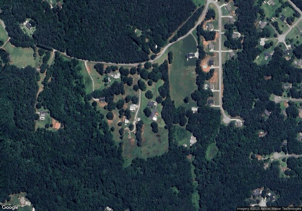
Map
Nearby Homes
- 121, 125, 129 Case Dr
- 281 Laney Dr
- 143 Kimbell Farm Dr
- 995 Old Jackson Rd
- 1126 Old Jackson Rd
- 705 S Bethany Rd
- 100 Harbin Trail
- 767 Old Jackson Rd
- 521 Deadwood Trail
- 215 Laney Rd
- 601 Amerigo Ct
- 1000 Coan Dr
- 218 Baxter Ln
- 125 Laney Ct
- 175 Laney Ct Unit 1
- 461 Old Jackson Rd
- 125 Karen Dr
- 201 Nina Cir
- 1171 King Mill Rd
- 151 River Park Cir
- 166 Laney Dr
- 230 Laney Dr
- 158 Laney Dr
- 130 Case Dr Unit 14
- 130 Case Dr
- 181 Laney Dr
- 126 Case Dr
- 240 Laney Dr
- 118 Case Dr Unit 16
- 118 Case Dr
- 114 Case Dr
- 0 Case Dr Unit 8265813
- 0 Case Dr Unit 8352308
- 133 Case Dr
- 90 Laney Dr
- 117 Case Dr
- 108 Case Dr
- 113 Case Dr
- 598 Deadwood Trail Unit 648
- 598 Deadwood Trail