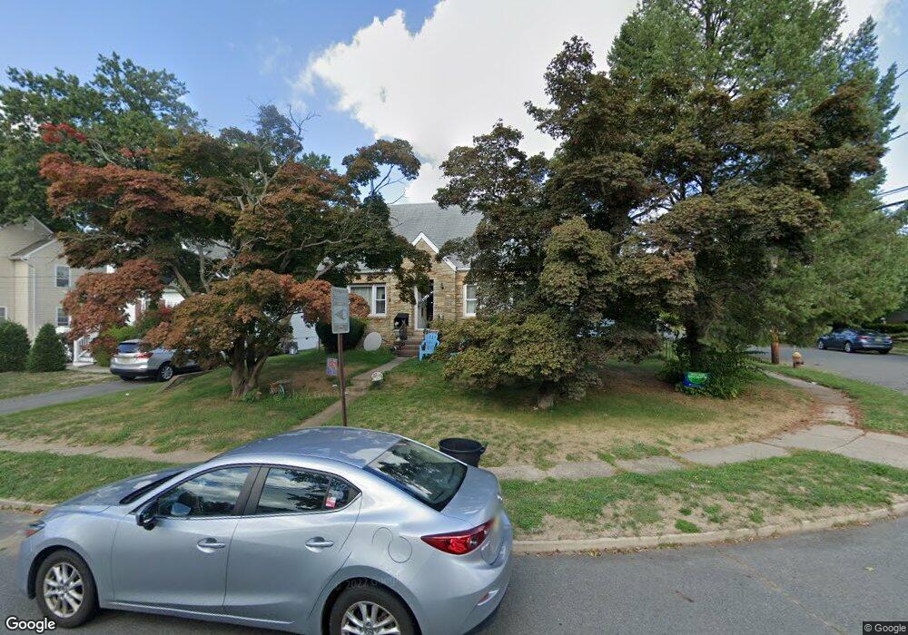
184 Lowell Ave Trenton, NJ 08619
Estimated Value: $419,000 - $465,616
--
Bed
--
Bath
1,484
Sq Ft
$299/Sq Ft
Est. Value
About This Home
This home is located at 184 Lowell Ave, Trenton, NJ 08619 and is currently estimated at $443,654, approximately $298 per square foot. 184 Lowell Ave is a home located in Mercer County with nearby schools including Mercerville Elementary School, Richard C. Crockett Middle School, and Nottingham High School - North.
Ownership History
Date
Name
Owned For
Owner Type
Purchase Details
Closed on
Feb 2, 2006
Current Estimated Value
Purchase Details
Closed on
Jun 12, 2001
Sold by
Kulmaczewski Boguslaw
Bought by
Dunn Lori
Home Financials for this Owner
Home Financials are based on the most recent Mortgage that was taken out on this home.
Original Mortgage
$152,900
Interest Rate
7.15%
Mortgage Type
Purchase Money Mortgage
Create a Home Valuation Report for This Property
The Home Valuation Report is an in-depth analysis detailing your home's value as well as a comparison with similar homes in the area
Home Values in the Area
Average Home Value in this Area
Purchase History
| Date | Buyer | Sale Price | Title Company |
|---|---|---|---|
| -- | -- | -- | |
| Dunn Lori | $169,900 | -- |
Source: Public Records
Mortgage History
| Date | Status | Borrower | Loan Amount |
|---|---|---|---|
| Previous Owner | Dunn Lori | $152,900 |
Source: Public Records
Tax History Compared to Growth
Tax History
| Year | Tax Paid | Tax Assessment Tax Assessment Total Assessment is a certain percentage of the fair market value that is determined by local assessors to be the total taxable value of land and additions on the property. | Land | Improvement |
|---|---|---|---|---|
| 2025 | $8,623 | $244,700 | $81,000 | $163,700 |
| 2024 | $8,082 | $244,700 | $81,000 | $163,700 |
| 2023 | $8,082 | $244,700 | $81,000 | $163,700 |
| 2022 | $7,955 | $244,700 | $81,000 | $163,700 |
| 2021 | $8,719 | $244,700 | $81,000 | $163,700 |
| 2020 | $7,838 | $244,700 | $81,000 | $163,700 |
| 2019 | $7,647 | $244,700 | $81,000 | $163,700 |
| 2018 | $7,556 | $244,700 | $81,000 | $163,700 |
| 2017 | $7,395 | $244,700 | $81,000 | $163,700 |
| 2016 | $6,617 | $244,700 | $81,000 | $163,700 |
| 2015 | $7,456 | $157,000 | $51,000 | $106,000 |
| 2014 | $7,349 | $157,000 | $51,000 | $106,000 |
Source: Public Records
Map
Nearby Homes
- 209 Eaton Ave
- 443 Fenwood Ave
- 153 Sheridan Rd
- 2522 Whitehorse Mercerville Rd
- 488 Fenwood Ave
- 2557 Whitehorse Mercerville Rd
- 2557 Wh Mer Rd
- 226 Saybrook Ave
- 71 Sadie St
- 36 Brighten Dr
- 17 Samantha Ln
- 69 Corson Ave
- 1968 Klockner Rd
- 2917 Quakerbridge Rd Unit MER
- 83 Holt Ave
- 18 Monroe Dr
- 40 Fogarty Dr
- 41 Collins Rd
- 36 Collins Rd
- 5 Delotto Dr
- 176 Lowell Ave
- 170 Lowell Ave
- 107 Winslow Ave
- 162 Lowell Ave
- 177 Fenwood Ave
- 214 Lowell Ave
- 171 Fenwood Ave
- 110 Winslow Ave
- 209 Winslow Ave
- 156 Lowell Ave
- 177 Lowell Ave
- 165 Fenwood Ave
- 220 Lowell Ave
- 203 Lowell Ave
- 207 Fenwood Ave
- 211 Lowell Ave
- 150 Lowell Ave
- 163 Lowell Ave
- 217 Lowell Ave
- 209 Fenwood Ave