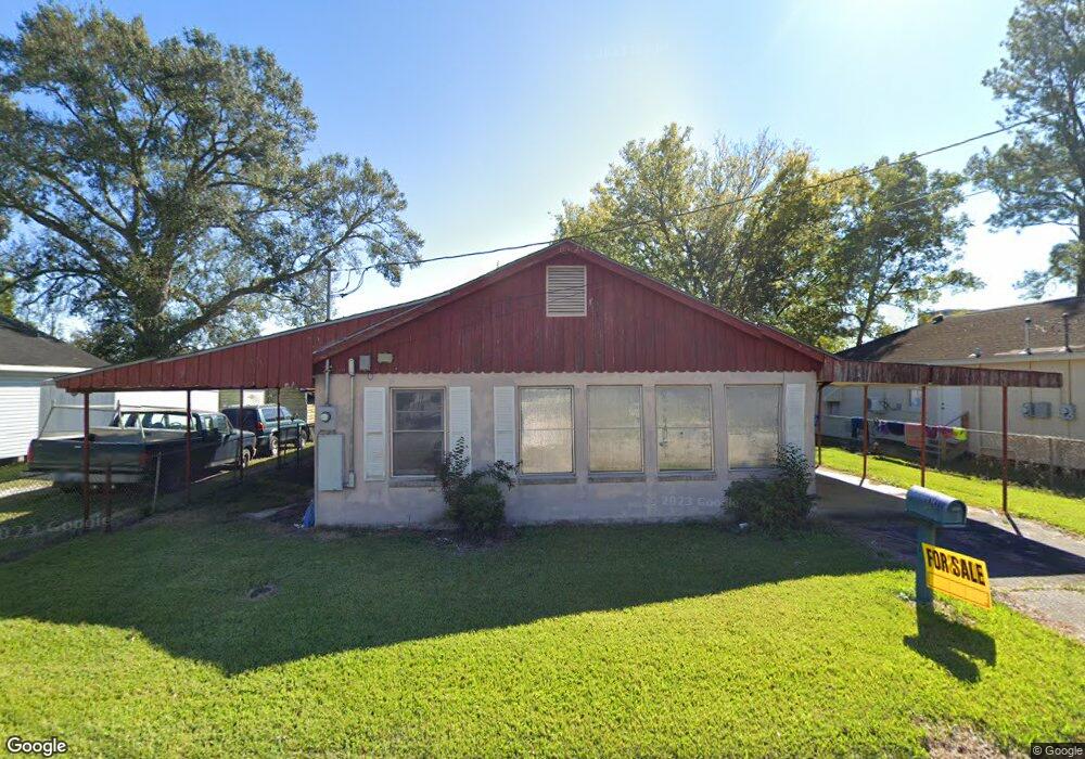
184 Morrison Ave Houma, LA 70364
North Houma NeighborhoodEstimated Value: $66,000 - $127,113
2
Beds
2
Baths
1,252
Sq Ft
$68/Sq Ft
Est. Value
About This Home
This home is located at 184 Morrison Ave, Houma, LA 70364 and is currently estimated at $85,028, approximately $67 per square foot. 184 Morrison Ave is a home located in Terrebonne Parish with nearby schools including Legion Park Elementary, Houma Junior High School, and Terrebonne High School.
Ownership History
Date
Name
Owned For
Owner Type
Purchase Details
Closed on
Apr 1, 2025
Sold by
Secretary Of Housing And Urban Developme
Bought by
Sabillon Maritza R
Current Estimated Value
Purchase Details
Closed on
Dec 31, 2024
Sold by
T & S Rentals Llc
Bought by
Rodriguez Sabillon Martiza
Purchase Details
Closed on
Oct 22, 2020
Sold by
Breaux Angela L
Bought by
T & S Rentals Llc
Create a Home Valuation Report for This Property
The Home Valuation Report is an in-depth analysis detailing your home's value as well as a comparison with similar homes in the area
Home Values in the Area
Average Home Value in this Area
Purchase History
| Date | Buyer | Sale Price | Title Company |
|---|---|---|---|
| Sabillon Maritza R | $45,000 | None Listed On Document | |
| Rodriguez Sabillon Martiza | $65,000 | Guaranteed Title | |
| Rodriguez Sabillon Martiza | $65,000 | Guaranteed Title | |
| T & S Rentals Llc | -- | None Available | |
| Breaux Angela L | -- | None Available |
Source: Public Records
Tax History
| Year | Tax Paid | Tax Assessment Tax Assessment Total Assessment is a certain percentage of the fair market value that is determined by local assessors to be the total taxable value of land and additions on the property. | Land | Improvement |
|---|---|---|---|---|
| 2024 | $105 | $6,430 | $1,320 | $5,110 |
| 2023 | $601 | $6,130 | $1,260 | $4,870 |
| 2022 | $563 | $6,130 | $1,260 | $4,870 |
| 2021 | $499 | $5,640 | $1,260 | $4,380 |
| 2020 | $521 | $6,130 | $1,260 | $4,870 |
| 2019 | $565 | $6,130 | $1,260 | $4,870 |
| 2018 | $548 | $5,840 | $1,200 | $4,640 |
| 2017 | $336 | $3,590 | $710 | $2,880 |
| 2015 | -- | $3,590 | $710 | $2,880 |
| 2014 | $59 | $3,590 | $0 | $0 |
| 2013 | $59 | $3,590 | $0 | $0 |
Source: Public Records
Map
Nearby Homes
- 198 Morrison Ave
- 182 Morrison Ave
- 207 Stovall St
- 180 Morrison Ave
- 205 Stovall St
- 189 Morrison Ave
- 195 Stovall St
- 202 Morrison Ave
- 183 Morrison Ave
- 197 Morrison Ave
- 209 Stovall St
- 204 Morrison Ave
- 176 Morrison Ave
- 177 Morrison Ave
- 201 Morrison Ave
- 211 Stovall St
- 175 Morrison Ave
- 220 Morrison Ave
- 170 Morrison Ave
- 213 Stovall St
Your Personal Tour Guide
Ask me questions while you tour the home.